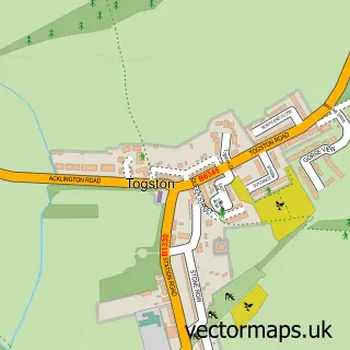
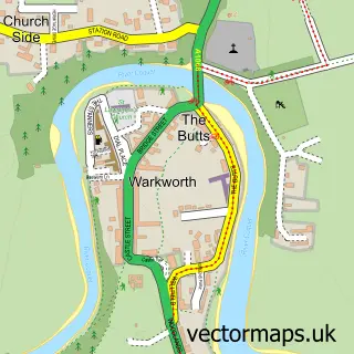
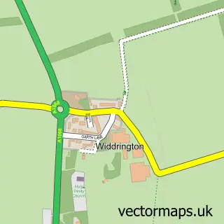
This Acklington street map is a detailed vector street map covering a 750m x 750m area. Select a larger area to create and download your own vector street map of Acklington.
The 750-metre map sample for Acklington covers 72 mapped buildings and approximately 13.5 km of road detail, of which 6 named roads are named. The immediate area includes 1 MOT station within 2 miles. The wider area around Acklington features 1 campsite within 2 miles. To create a larger or custom map of Acklington, the map builder lets you define your own coverage area and download editable SVG, PDF and PNG files.
Create a larger editable map of Acklington
Choose any area you need and generate a high-quality vector map instantly. Perfect for print, planning, design, business and personal use.

This Acklington street map in Northumberland is available as downloadable SVG, PDF and PNG map files, or as a printed map for planning, business, display, education, local information and design work. You can also create a larger custom map area using the map selector.
What this Acklington map sample shows
Acklington lies within Acklington Cp parish, part of Amble West With Warkworth ward in the Northumberland local authority area. The postcode geography for this area includes the NE postcode area, the NE65 postcode district and the NE65 9 postcode sector. Residents fall under the Nhs North East And North Cumbria Integrated Care Board for NHS services.
Local features near Acklington
Within 2 milesAmenities and services in and around Acklington.
Administrative and postcode information for Acklington
The local authority covering Acklington is Northumberland, within the county of Northumberland. The settlement lies within Amble West With Warkworth ward and Acklington Cp civil parish. The NE65 postcode district and NE65 9 postcode sector serve the immediate area. NHS provision in the area is delivered through Northumbria Healthcare Nhs Foundation Trust.
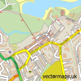
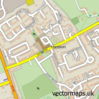
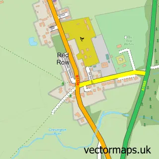
Nearby street map samples around Acklington

More street maps in Northumberland
750 metre map area coverage
Boundary, postcode and point of interest information for the 750m x 750m rectangle centred on this sample map.
Boundaries containing map centre
Constituency: North Northumberland Co Const
District: Northumberland
Icb: NHS North East and North Cumbria ICB
Parish: Acklington CP
Police Force: northumberland
Postcode District: NE65
Postcode Sector: NE65 9
Nearby boundaries intersecting sample
No additional intersecting boundaries found.
Postcode coverage
POI category counts
Anglican Church: 2
Printing Services: 2
Advertising Agency: 1
Arts And Entertainment: 1
Community Center: 1
Forestry Service: 1
Furniture Store: 1
Sample points of interest
- Millfield Media
- St John the Divine
- St John's Church
- Charles Evans Art
- Acklington Village Hall
- I & M Pearson
- Brassbee
- Millfield Media
- Millfield Media Print & Design
Create a larger editable map of Acklington
This sample shows only a 750 metre area. To create a larger map of Acklington, use our map builder to choose your own coverage area, add titles and download editable SVG, PDF and PNG files.
Create a custom map of Acklington