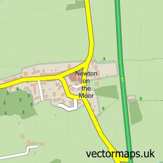
This Swarland street map is a detailed vector street map covering a 750m x 750m area. Select a larger area to create and download your own vector street map of Swarland.
The 750-metre map sample for Swarland covers 184 mapped buildings and approximately 11.0 km of road detail, of which 29 named roads are named. The wider area around Swarland features 2 tourism points of interest and 1 food and drink venue. To create a larger or custom map of Swarland, the map builder lets you define your own coverage area and download editable SVG, PDF and PNG files.
Create a larger editable map of Swarland
Choose any area you need and generate a high-quality vector map instantly. Perfect for print, planning, design, business and personal use.

This Swarland street map in Northumberland is available as downloadable SVG, PDF and PNG map files, or as a printed map for planning, business, display, education, local information and design work. You can also create a larger custom map area using the map selector.
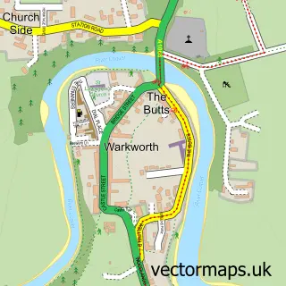
What this Swarland map sample shows
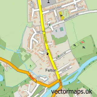
Swarland lies within Felton Cp parish, part of Shilbottle ward in the Northumberland local authority area. The postcode geography for this area includes the NE postcode area, the NE65 postcode district and the NE65 9 postcode sector. Residents fall under the Nhs North East And North Cumbria Integrated Care Board for NHS services.
Local features near Swarland
Within 2 milesAmenities and services in and around Swarland.
Administrative and postcode information for Swarland
Swarland lies within Felton Cp parish, part of Shilbottle ward in the Northumberland local authority area. The postcode geography for this area includes the NE postcode area, the NE65 postcode district and the NE65 9 postcode sector. Residents fall under the Nhs North East And North Cumbria Integrated Care Board for NHS services.
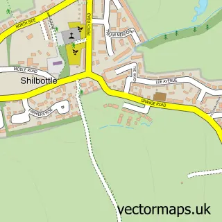
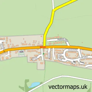
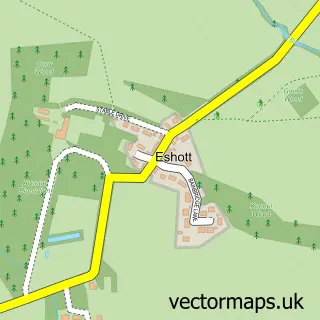
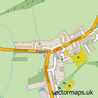
Nearby street map samples around Swarland

More street maps in Northumberland
750 metre map area coverage
Boundary, postcode and point of interest information for the 750m x 750m rectangle centred on this sample map.
Boundaries containing map centre
Constituency: North Northumberland Co Const
District: Northumberland
Icb: NHS North East and North Cumbria ICB
Parish: Newton-on-the-Moor and Swarland CP
Police Force: northumberland
Postcode District: NE65
Postcode Sector: NE65 9
Nearby boundaries intersecting sample
Parish: Felton CP
Postcode coverage
POI category counts
Contractor: 2
Active Life: 1
Cafe: 1
Campground: 1
Corporate Entertainment Services: 1
Equestrian Facility: 1
Lodge: 1
Mobile Home Park: 1
Park: 1
Social Service Organizations: 1
Sample points of interest
- Swarland Golf Club
- Nelson's at the Park
- Percy Wood Golf & Country Retreat
- F E Mason & Son
- Mossman & Co Developments
- Hilton Media
- Swarland Park Equestrian
- North Lodge, Swarland, Northumberland
- Percy Wood Country Park
- Vyner Park Swarland
- Swarland Working Men's Club
- Percy Wood Golf & Country Retreat
Create a larger editable map of Swarland
This sample shows only a 750 metre area. To create a larger map of Swarland, use our map builder to choose your own coverage area, add titles and download editable SVG, PDF and PNG files.
Create a custom map of Swarland