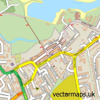
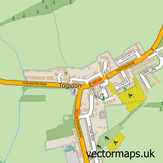
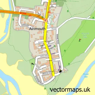
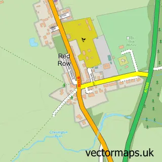
This Warkworth street map is a detailed vector street map covering a 750m x 750m area. Select a larger area to create and download your own vector street map of Warkworth.
The 750-metre map sample for Warkworth covers 59 mapped buildings and approximately 8.6 km of road detail, of which 14 named roads are named. The immediate area includes 1 GP surgery within 2 miles, 4 pubs and 2 MOT stations within 2 miles. The wider area around Warkworth features 3 tourism points of interest, 6 food and drink venues and 8 hotels. To create a larger or custom map of Warkworth, the map builder lets you define your own coverage area and download editable SVG, PDF and PNG files.
Create a larger editable map of Warkworth
Choose any area you need and generate a high-quality vector map instantly. Perfect for print, planning, design, business and personal use.

This Warkworth street map in Northumberland is available as downloadable SVG, PDF and PNG map files, or as a printed map for planning, business, display, education, local information and design work. You can also create a larger custom map area using the map selector.
What this Warkworth map sample shows
Warkworth lies within Warkworth Cp parish, part of Amble West With Warkworth ward in the Northumberland local authority area. The postcode geography for this area includes the NE postcode area, the NE65 postcode district and the NE65 0 postcode sector. Residents fall under the Nhs North East And North Cumbria Integrated Care Board for NHS services.
Local features near Warkworth
Within 2 milesAmenities and services in and around Warkworth.
Administrative and postcode information for Warkworth
Warkworth lies within Warkworth Cp parish, part of Amble West With Warkworth ward in the Northumberland local authority area. The postcode geography for this area includes the NE postcode area, the NE65 postcode district and the NE65 0 postcode sector. Residents fall under the Nhs North East And North Cumbria Integrated Care Board for NHS services.
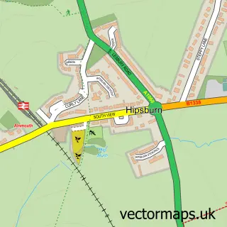
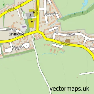
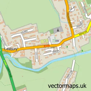
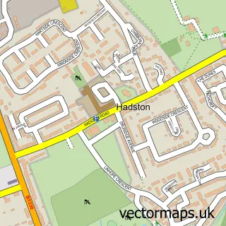
Nearby street map samples around Warkworth

More street maps in Northumberland
750 metre map area coverage
Boundary, postcode and point of interest information for the 750m x 750m rectangle centred on this sample map.
Boundaries containing map centre
Constituency: North Northumberland Co Const
District: Northumberland
Icb: NHS North East and North Cumbria ICB
Parish: Warkworth CP
Police Force: northumberland
Postcode District: NE65
Postcode Sector: NE65 0
Nearby boundaries intersecting sample
No additional intersecting boundaries found.
Postcode coverage
POI category counts
Hotel: 7
Bed And Breakfast: 4
Pub: 4
British Restaurant: 3
Gift Shop: 3
Holiday Rental Home: 3
Flowers And Gifts Shop: 2
Transportation: 2
Anglican Church: 1
Attractions And Activities: 1
Sample points of interest
- St Lawrence Warkworth
- Warkworth Castle
- Beck 'N' Call
- Fairfield House
- Number 28
- Sue Thompson
- Jackdaw Restaurant
- Topsey Turveys
- Topsey Turveys
- Warkworth Castle
- St Lawrence's Church
- Cabosse chocolaterie and patisserie
Create a larger editable map of Warkworth
This sample shows only a 750 metre area. To create a larger map of Warkworth, use our map builder to choose your own coverage area, add titles and download editable SVG, PDF and PNG files.
Create a custom map of Warkworth