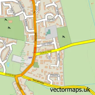
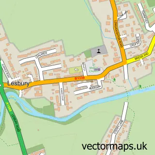
This Craster street map is a detailed vector street map covering a 750m x 750m area. Select a larger area to create and download your own vector street map of Craster.
The 750-metre map sample for Craster covers 45 mapped buildings and approximately 4.4 km of road detail, of which 10 named roads are named. The wider area around Craster features 2 tourism points of interest, 2 food and drink venues and 3 hotels. To create a larger or custom map of Craster, the map builder lets you define your own coverage area and download editable SVG, PDF and PNG files.
Create a larger editable map of Craster
Choose any area you need and generate a high-quality vector map instantly. Perfect for print, planning, design, business and personal use.

This Craster street map in Northumberland is available as downloadable SVG, PDF and PNG map files, or as a printed map for planning, business, display, education, local information and design work. You can also create a larger custom map area using the map selector.
What this Craster map sample shows
Craster lies within Craster Cp parish, part of Longhoughton ward in the Northumberland local authority area. The postcode geography for this area includes the NE postcode area, the NE66 postcode district and the NE66 3 postcode sector. Residents fall under the Nhs North East And North Cumbria Integrated Care Board for NHS services.
Local features near Craster
Within 2 milesAmenities and services in and around Craster.
Administrative and postcode information for Craster
The local authority covering Craster is Northumberland, within the county of Northumberland. The settlement lies within Longhoughton ward and Craster Cp civil parish. The NE66 postcode district and NE66 3 postcode sector serve the immediate area. NHS provision in the area is delivered through Northumbria Healthcare Nhs Foundation Trust.
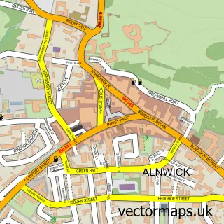
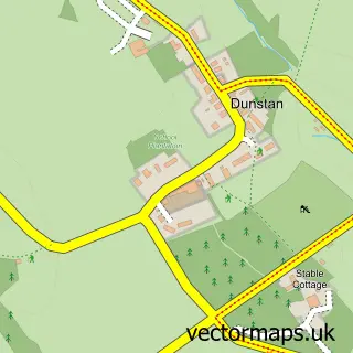
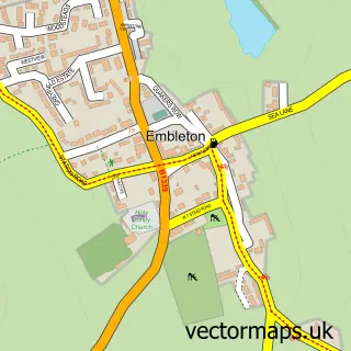
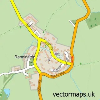
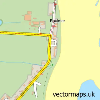
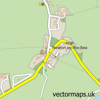
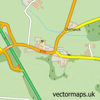
Nearby street map samples around Craster

More street maps in Northumberland
750 metre map area coverage
Boundary, postcode and point of interest information for the 750m x 750m rectangle centred on this sample map.
Boundaries containing map centre
Constituency: North Northumberland Co Const
District: Northumberland
Icb: NHS North East and North Cumbria ICB
Parish: Craster CP
Police Force: northumberland
Postcode District: NE66
Postcode Sector: NE66 3
Nearby boundaries intersecting sample
No additional intersecting boundaries found.
Postcode coverage
POI category counts
Holiday Rental Home: 3
Hotel: 3
Art Gallery: 2
Cafe: 2
Anglican Church: 1
Building Supply Store: 1
Castle: 1
Community Services Non Profits: 1
Cottage: 1
Emergency Service: 1
Sample points of interest
- St Peter the Fisherman Craster
- Mick Oxley Gallery
- The Mick Oxley Gallery
- Keith Williams Repairs
- Shoreline
- Shoreline Cafe
- Dunstanburgh Castle
- RNLI Craster Lifeboat Station
- Harbour Cottage, Craster.
- RNLI Alnwick Craster Lifeboat Station
- L Robson and Sons
- The Jolly Fisherman Inn
Create a larger editable map of Craster
This sample shows only a 750 metre area. To create a larger map of Craster, use our map builder to choose your own coverage area, add titles and download editable SVG, PDF and PNG files.
Create a custom map of Craster