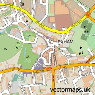
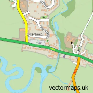
This Bellingham street map is a detailed vector street map covering a 750m x 750m area. Select a larger area to create and download your own vector street map of Bellingham.
The 750-metre map sample for Bellingham covers 209 mapped buildings and approximately 10.6 km of road detail, of which 13 named roads are named. The immediate area includes 1 GP surgery, 1 pub and 3 MOT stations. The wider area around Bellingham features 5 tourism points of interest, 5 food and drink venues and 5 hotels. To create a larger or custom map of Bellingham, the map builder lets you define your own coverage area and download editable SVG, PDF and PNG files.
Create a larger editable map of Bellingham
Choose any area you need and generate a high-quality vector map instantly. Perfect for print, planning, design, business and personal use.

This Bellingham street map in Northumberland is available as downloadable SVG, PDF and PNG map files, or as a printed map for planning, business, display, education, local information and design work. You can also create a larger custom map area using the map selector.
What this Bellingham map sample shows
Bellingham lies within Bellingham Cp parish, part of Bellingham ward in the Northumberland local authority area. The postcode geography for this area includes the NE postcode area, the NE48 postcode district and the NE48 2 postcode sector. Residents fall under the Nhs North East And North Cumbria Integrated Care Board for NHS services.
Local features near Bellingham
Within 2 milesAmenities and services in and around Bellingham.
Administrative and postcode information for Bellingham
The local authority covering Bellingham is Northumberland, within the county of Northumberland. The settlement lies within Bellingham ward and Bellingham Cp civil parish. The NE48 postcode district and NE48 2 postcode sector serve the immediate area. NHS provision in the area is delivered through Northumbria Healthcare Nhs Foundation Trust.
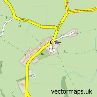
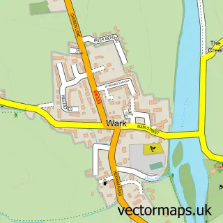
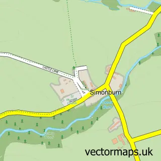
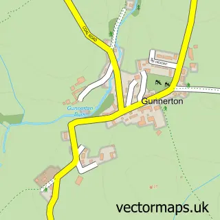
Nearby street map samples around Bellingham

More street maps in Northumberland
750 metre map area coverage
Boundary, postcode and point of interest information for the 750m x 750m rectangle centred on this sample map.
Boundaries containing map centre
Constituency: Hexham Co Const
District: Northumberland
Icb: NHS North East and North Cumbria ICB
Parish: Bellingham CP
Police Force: northumberland
Postcode District: NE48
Postcode Sector: NE48 2
Nearby boundaries intersecting sample
No additional intersecting boundaries found.
Postcode coverage
POI category counts
Hotel: 4
Banks: 3
Bed And Breakfast: 3
Cafe: 3
Flowers And Gifts Shop: 3
Retail: 3
Automotive Repair: 2
Brewery: 2
Financial Service: 2
Gas Station: 2
Sample points of interest
- TyneRede Accountancy Ltd
- St Cuthbert's, Bellingham
- Insight Architectural Design
- The Cooperative Food Bellingham - Parkside Place, Bellingham Northumberland
- Matt clark limited
- Riverside Garage
- The Village Bakery
- Banking Hub
- Barclays Bank
- Lloyds Bank
- Fountain Cottage Cafe And B&B
- Fountain Cottage Cafe and B&B
Create a larger editable map of Bellingham
This sample shows only a 750 metre area. To create a larger map of Bellingham, use our map builder to choose your own coverage area, add titles and download editable SVG, PDF and PNG files.
Create a custom map of Bellingham