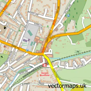
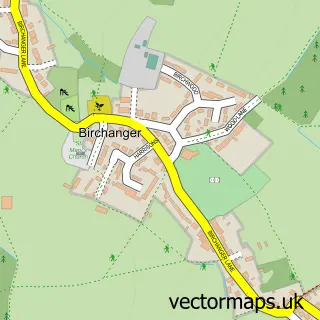
This Bentfield street map is a detailed vector street map covering a 750m x 750m area. Select a larger area to create and download your own vector street map of Bentfield.
The 750-metre map sample for Bentfield covers 396 mapped buildings and approximately 17.1 km of road detail, of which 33 named roads are named. The immediate area includes 1 school, 1 GP surgery within 2 miles, 1 pub and 7 MOT stations within 2 miles. The wider area around Bentfield features 2 tourism points of interest, 2 food and drink venues and 1 hotel. To create a larger or custom map of Bentfield, the map builder lets you define your own coverage area and download editable SVG, PDF and PNG files.
Create a larger editable map of Bentfield
Choose any area you need and generate a high-quality vector map instantly. Perfect for print, planning, design, business and personal use.

This Bentfield street map in Essex is available as downloadable SVG, PDF and PNG map files, or as a printed map for planning, business, display, education, local information and design work. You can also create a larger custom map area using the map selector.
What this Bentfield map sample shows
Bentfield lies within Stansted Mountfitchet Cp parish, part of Stansted North ward in the Uttlesford District local authority area. The postcode geography for this area includes the CM postcode area, the CM24 postcode district and the CM24 8 postcode sector. Residents fall under the Nhs Hertfordshire And West Essex Integrated Care Board for NHS services.
Local features near Bentfield
Within 2 milesAmenities and services in and around Bentfield.
Administrative and postcode information for Bentfield
The local authority covering Bentfield is Uttlesford District, within the county of Essex. The settlement lies within Stansted North ward and Stansted Mountfitchet Cp civil parish. The CM24 postcode district and CM24 8 postcode sector serve the immediate area. NHS provision in the area is delivered through The Princess Alexandra Hospital Nhs Trust.
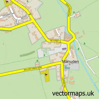
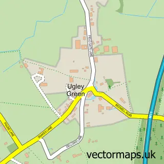
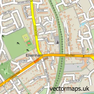
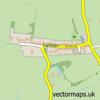
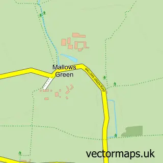
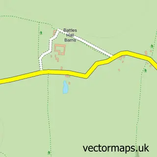
Nearby street map samples around Bentfield


More street maps in Essex
750 metre map area coverage
Boundary, postcode and point of interest information for the 750m x 750m rectangle centred on this sample map.
Boundaries containing map centre
Constituency: North West Essex Co Const
County: Essex County
District: Uttlesford District
Icb: NHS Central East ICB
Parish: Stansted Mountfitchet CP
Police Force: essex
Postcode District: CM24
Postcode Sector: CM24 8
Ward: Stansted North Ward
Nearby boundaries intersecting sample
No additional intersecting boundaries found.
Postcode coverage
POI category counts
Gas Station: 7
Convenience Store: 4
Professional Services: 4
Building Supply Store: 3
Car Dealer: 3
Package Locker: 3
Rental Kiosks: 3
Supermarket: 3
Bakery: 2
Bar And Grill Restaurant: 2
Sample points of interest
- Hawkins & Co Accountants & Bookkeepers
- Consiliem Digital Technologies
- Flightworx Aviation Ltd. - Flight Support Solutions
- Power Supply Sourcing
- ESSO Stansted (Rontec - CZC)
- Franklins Sports and Classics
- Dorringtons Ltd
- West Cornwall Pasty Co
- Wood Grill
- Woodgrill Restaurant, Stansted Mountfitchet
- Richard Maule's Barber Shop
- The Refinery 1559
Create a larger editable map of Bentfield
This sample shows only a 750 metre area. To create a larger map of Bentfield, use our map builder to choose your own coverage area, add titles and download editable SVG, PDF and PNG files.
Create a custom map of Bentfield