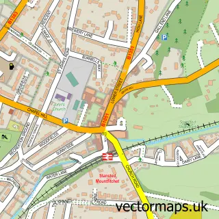
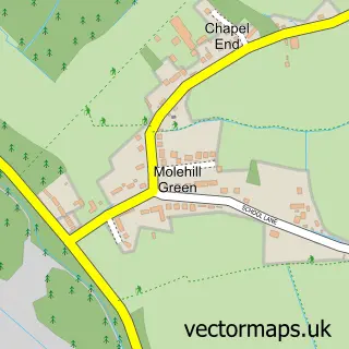
This Elsenham street map is a detailed vector street map covering a 750m x 750m area. Select a larger area to create and download your own vector street map of Elsenham.
The 750-metre map sample for Elsenham covers 661 mapped buildings and approximately 17.5 km of road detail, of which 38 named roads are named. The immediate area includes 1 school, 1 GP surgery within 2 miles, 2 pubs and 2 MOT stations within 2 miles. The wider area around Elsenham features 4 food and drink venues and 4 hotels. To create a larger or custom map of Elsenham, the map builder lets you define your own coverage area and download editable SVG, PDF and PNG files.
Create a larger editable map of Elsenham
Choose any area you need and generate a high-quality vector map instantly. Perfect for print, planning, design, business and personal use.

This Elsenham street map in Essex is available as downloadable SVG, PDF and PNG map files, or as a printed map for planning, business, display, education, local information and design work. You can also create a larger custom map area using the map selector.
What this Elsenham map sample shows
Elsenham lies within Elsenham Cp parish, part of Elsenham & Henham ward in the Uttlesford District local authority area. The postcode geography for this area includes the CM postcode area, the CM22 postcode district and the CM22 6 postcode sector. Residents fall under the Nhs Hertfordshire And West Essex Integrated Care Board for NHS services.
Local features near Elsenham
Within 2 milesAmenities and services in and around Elsenham.
Administrative and postcode information for Elsenham
The local authority covering Elsenham is Uttlesford District, within the county of Essex. The settlement lies within Elsenham & Henham ward and Elsenham Cp civil parish. The CM22 postcode district and CM22 6 postcode sector serve the immediate area. NHS provision in the area is delivered through The Princess Alexandra Hospital Nhs Trust.
Nearby street map samples around Elsenham

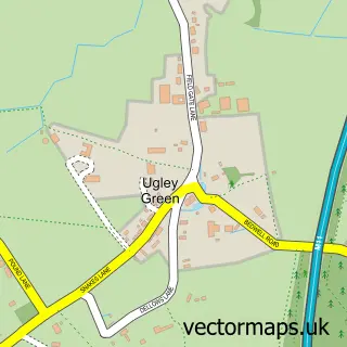
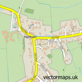
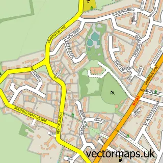

More street maps in Essex
750 metre map area coverage
Boundary, postcode and point of interest information for the 750m x 750m rectangle centred on this sample map.
Boundaries containing map centre
Constituency: North West Essex Co Const
County: Essex County
District: Uttlesford District
Icb: NHS Central East ICB
Parish: Elsenham CP
Police Force: essex
Postcode District: CM22
Postcode Sector: CM22 6
Ward: Elsenham & Henham Ward
Nearby boundaries intersecting sample
No additional intersecting boundaries found.
Postcode coverage
POI category counts
Hotel: 4
Sports Club And League: 3
Automotive Repair: 2
Doctor: 2
Pub: 2
Retail: 2
Shipping Center: 2
Anglican Church: 1
Bakery: 1
Beauty And Spa: 1
Sample points of interest
- Elsenham Village Hall
- Essex Autospray
- GFM Motorsports
- Your Village Cakes
- Nails by Anna
- Options Hair Design
- Stansted Airport Cottage
- Carolina Blinds
- The Flying Pig Co
- CPL KItchens
- Born to Birth Company Hypnobirthing Classes
- Tarte Au Citroen
Create a larger editable map of Elsenham
This sample shows only a 750 metre area. To create a larger map of Elsenham, use our map builder to choose your own coverage area, add titles and download editable SVG, PDF and PNG files.
Create a custom map of Elsenham