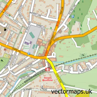
This Birchanger street map is a detailed vector street map covering a 750m x 750m area. Select a larger area to create and download your own vector street map of Birchanger.
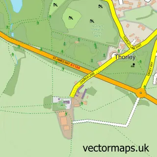
The 750-metre map sample for Birchanger covers 176 mapped buildings and approximately 6.2 km of road detail, of which 7 named roads are named. The immediate area includes 1 school, 4 GP surgeries within 2 miles, 1 pub and 16 MOT stations within 2 miles. The wider area around Birchanger features 1 food and drink venue and 1 campsite within 2 miles. To create a larger or custom map of Birchanger, the map builder lets you define your own coverage area and download editable SVG, PDF and PNG files.
Create a larger editable map of Birchanger
Choose any area you need and generate a high-quality vector map instantly. Perfect for print, planning, design, business and personal use.

This Birchanger street map in Essex is available as downloadable SVG, PDF and PNG map files, or as a printed map for planning, business, display, education, local information and design work. You can also create a larger custom map area using the map selector.
What this Birchanger map sample shows
Birchanger lies within Birchanger Cp parish, part of Stansted South & Birchanger ward in the Uttlesford District local authority area. The postcode geography for this area includes the CM postcode area, the CM23 postcode district and the CM23 5 postcode sector. Residents fall under the Nhs Hertfordshire And West Essex Integrated Care Board for NHS services.
Local features near Birchanger
Within 2 milesAmenities and services in and around Birchanger.
Administrative and postcode information for Birchanger
Birchanger lies within Birchanger Cp parish, part of Stansted South & Birchanger ward in the Uttlesford District local authority area. The postcode geography for this area includes the CM postcode area, the CM23 postcode district and the CM23 5 postcode sector. Residents fall under the Nhs Hertfordshire And West Essex Integrated Care Board for NHS services.
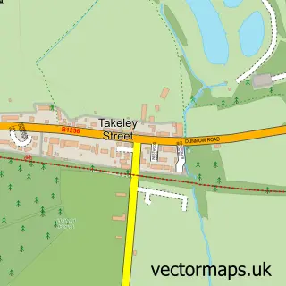
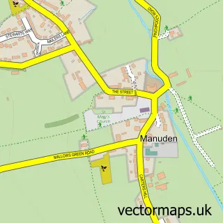
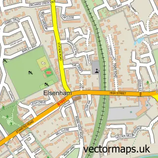
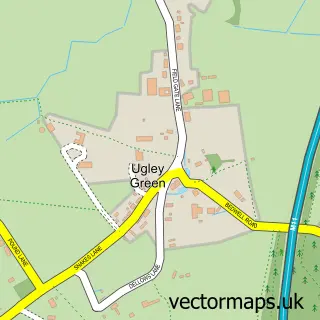
Nearby street map samples around Birchanger

More street maps in Essex
750 metre map area coverage
Boundary, postcode and point of interest information for the 750m x 750m rectangle centred on this sample map.
Boundaries containing map centre
Constituency: North West Essex Co Const
County: Essex County
District: Uttlesford District
Icb: NHS Central East ICB
Parish: Birchanger CP
Police Force: essex
Postcode District: CM23
Postcode Sector: CM23 5
Ward: Stansted South & Birchanger Ward
Nearby boundaries intersecting sample
No additional intersecting boundaries found.
Postcode coverage
POI category counts
Preschool: 2
Anglican Church: 1
Bakery: 1
Bed And Breakfast: 1
Construction Services: 1
Counseling And Mental Health: 1
Dog Trainer: 1
Elementary School: 1
Home Goods Store: 1
Internet Marketing Service: 1
Sample points of interest
- Birchanger: St Mary the Virgin
- Jip's Cakes
- 33 Harrisons B&B
- Another Level Construction
- Sandra Dowle Counselling
- Woofies UK
- Birchanger Church of England Primary School
- Radiator Valves Online
- TU Internet Marketing
- Taylor Property Services
- Wsi
- Pink Leopard Nails
Create a larger editable map of Birchanger
This sample shows only a 750 metre area. To create a larger map of Birchanger, use our map builder to choose your own coverage area, add titles and download editable SVG, PDF and PNG files.
Create a custom map of Birchanger