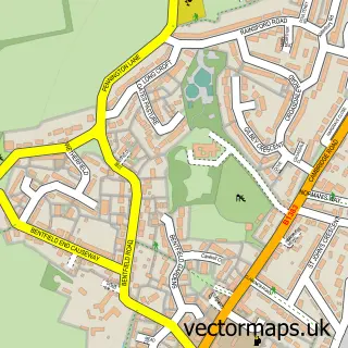
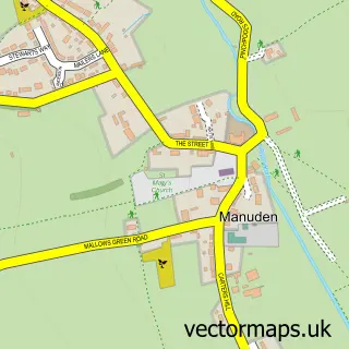
This Stansted Mountfitchet street map is a detailed vector street map covering a 750m x 750m area. Select a larger area to create and download your own vector street map of Stansted Mountfitchet.
The 750-metre map sample for Stansted Mountfitchet covers 443 mapped buildings and approximately 18.1 km of road detail, of which 40 named roads are named. The immediate area includes 1 school, 1 railway station, 1 GP surgery and 4 pubs among other local services. The wider area around Stansted Mountfitchet features 5 tourism points of interest, 14 food and drink venues and 2 hotels. To create a larger or custom map of Stansted Mountfitchet, the map builder lets you define your own coverage area and download editable SVG, PDF and PNG files.
Create a larger editable map of Stansted Mountfitchet
Choose any area you need and generate a high-quality vector map instantly. Perfect for print, planning, design, business and personal use.

This Stansted Mountfitchet street map in Essex is available as downloadable SVG, PDF and PNG map files, or as a printed map for planning, business, display, education, local information and design work. You can also create a larger custom map area using the map selector.
What this Stansted Mountfitchet map sample shows
Stansted Mountfitchet lies within Stansted Mountfitchet Cp parish, part of Stansted North ward in the Uttlesford District local authority area. The postcode geography for this area includes the CM postcode area, the CM24 postcode district and the CM24 8 postcode sector. Residents fall under the Nhs Hertfordshire And West Essex Integrated Care Board for NHS services.
Local features near Stansted Mountfitchet
Within 2 milesAmenities and services in and around Stansted Mountfitchet.
Administrative and postcode information for Stansted Mountfitchet
Stansted Mountfitchet lies within Stansted Mountfitchet Cp parish, part of Stansted North ward in the Uttlesford District local authority area. The postcode geography for this area includes the CM postcode area, the CM24 postcode district and the CM24 8 postcode sector. Residents fall under the Nhs Hertfordshire And West Essex Integrated Care Board for NHS services.
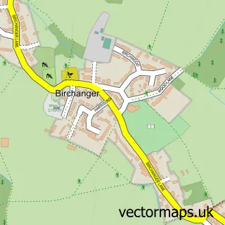
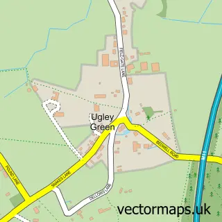
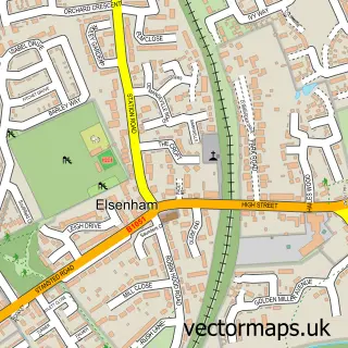
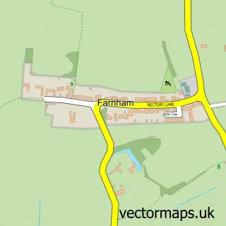
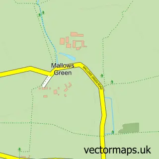
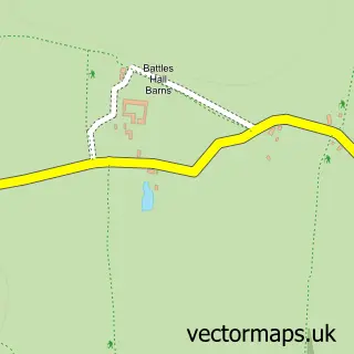
Nearby street map samples around Stansted Mountfitchet


More street maps in Essex
750 metre map area coverage
Boundary, postcode and point of interest information for the 750m x 750m rectangle centred on this sample map.
Boundaries containing map centre
Constituency: North West Essex Co Const
County: Essex County
District: Uttlesford District
Icb: NHS Central East ICB
Parish: Stansted Mountfitchet CP
Police Force: essex
Postcode District: CM24
Postcode Sector: CM24 8
Ward: Stansted North Ward
Nearby boundaries intersecting sample
Ward: Stansted South & Birchanger Ward
Postcode coverage
POI category counts
Restaurant: 5
Retail: 5
Beauty And Spa: 4
Beauty Salon: 4
Pub: 4
Barber: 3
Cafe: 3
Chinese Restaurant: 3
Convenience Store: 3
Fast Food Restaurant: 3
Sample points of interest
- C & O Associates
- Sliwa Creative
- London Stansted
- Stansted Airport Taxi
- Body & Soul Studio
- Fresh Leaf Hypnotherapy
- White Lodge Stud
- Stansted Mountfitchet: St John
- The Premier Detailing Company
- 24Hr Mobile Mechanic
- Car Storage Essex
- Sonargow
Create a larger editable map of Stansted Mountfitchet
This sample shows only a 750 metre area. To create a larger map of Stansted Mountfitchet, use our map builder to choose your own coverage area, add titles and download editable SVG, PDF and PNG files.
Create a custom map of Stansted Mountfitchet