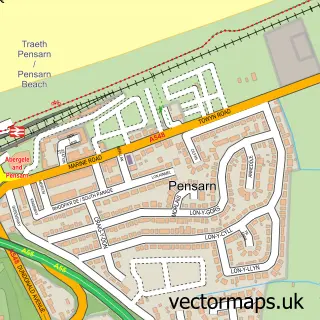
This Betws-yn-Rhos street map is a detailed vector street map covering a 750m x 750m area. Select a larger area to create and download your own vector street map of Betws-yn-Rhos.
The 750-metre map sample for Betws-yn-Rhos covers 167 mapped buildings and approximately 13.1 km of road detail, of which 10 named roads are named. The immediate area includes 1 school, 2 pubs and 1 MOT station, with 3 within 2 miles. The wider area around Betws-yn-Rhos features 3 food and drink venues and 4 campsites within 2 miles. To create a larger or custom map of Betws-yn-Rhos, the map builder lets you define your own coverage area and download editable SVG, PDF and PNG files.
Create a larger editable map of Betws-yn-Rhos
Choose any area you need and generate a high-quality vector map instantly. Perfect for print, planning, design, business and personal use.

This Betws-yn-Rhos street map in Clwyd is available as downloadable SVG, PDF and PNG map files, or as a printed map for planning, business, display, education, local information and design work. You can also create a larger custom map area using the map selector.
What this Betws-yn-Rhos map sample shows
Betws-yn-Rhos lies within Betws Yn Rhos Community parish, part of Betws Yn Rhos ward in the Conwy - Conwy local authority area. The postcode geography for this area includes the LL postcode area, the LL22 postcode district and the LL22 8 postcode sector. Residents fall under the Betsi Cadwaladr University Health Board for NHS services.
Local features near Betws-yn-Rhos
Within 2 milesAmenities and services in and around Betws-yn-Rhos.
Administrative and postcode information for Betws-yn-Rhos
Betws-yn-Rhos lies within Betws Yn Rhos Community parish, part of Betws Yn Rhos ward in the Conwy - Conwy local authority area. The postcode geography for this area includes the LL postcode area, the LL22 postcode district and the LL22 8 postcode sector. Residents fall under the Betsi Cadwaladr University Health Board for NHS services.
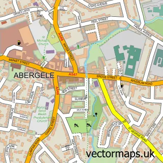
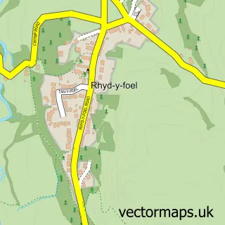
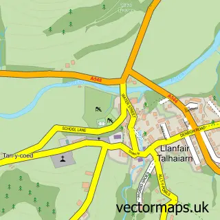
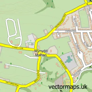
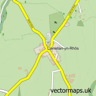
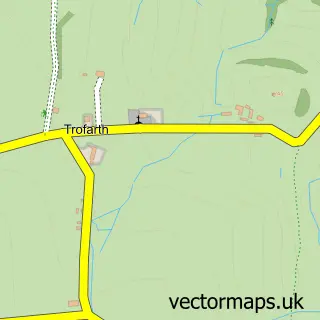
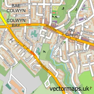
Nearby street map samples around Betws-yn-Rhos

More street maps in Clwyd
750 metre map area coverage
Boundary, postcode and point of interest information for the 750m x 750m rectangle centred on this sample map.
Boundaries containing map centre
Constituency: Bangor Aberconwy Co Const
District: Conwy - Conwy
Icb: Betsi Cadwaladr University
Parish: Betws Yn Rhos Community
Police Force: north wales
Postcode District: LL22
Postcode Sector: LL22 8
Nearby boundaries intersecting sample
No additional intersecting boundaries found.
Postcode coverage
POI category counts
Automotive Repair: 2
Bed And Breakfast: 2
Post Office: 2
Pub: 2
Automotive Parts And Accessories: 1
Cafe: 1
Elementary School: 1
Food Delivery Service: 1
Golf Course: 1
Outdoor Gear: 1
Sample points of interest
- Bransby Components
- CR Automotive
- Nigel Williams Motor Services
- Ffarm Country House
- Ffarm Country House & Restaurant
- Urbane at Silver Birch
- Betws Yn Rhos Controlled School
- Evri ParcelShop
- Silver Birch Golf Club
- Go Off Grid Wales
- Betws Yn Rhos Post Office
- Post Office
Create a larger editable map of Betws-yn-Rhos
This sample shows only a 750 metre area. To create a larger map of Betws-yn-Rhos, use our map builder to choose your own coverage area, add titles and download editable SVG, PDF and PNG files.
Create a custom map of Betws-yn-Rhos