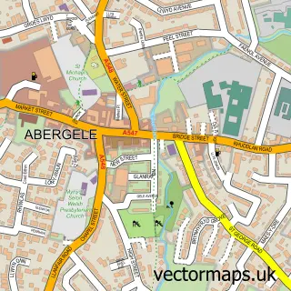
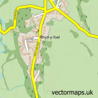
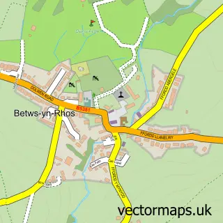
This Pensarn street map is a detailed vector street map covering a 750m x 750m area. Select a larger area to create and download your own vector street map of Pensarn.
The 750-metre map sample for Pensarn covers 420 mapped buildings and approximately 15.8 km of road detail, of which 22 named roads are named. The immediate area includes 1 railway station, 1 pub and 5 MOT stations within 2 miles. The wider area around Pensarn features 3 tourism points of interest, 4 food and drink venues and 2 campsites within 2 miles. To create a larger or custom map of Pensarn, the map builder lets you define your own coverage area and download editable SVG, PDF and PNG files.
Create a larger editable map of Pensarn
Choose any area you need and generate a high-quality vector map instantly. Perfect for print, planning, design, business and personal use.

This Pensarn street map in Clwyd is available as downloadable SVG, PDF and PNG map files, or as a printed map for planning, business, display, education, local information and design work. You can also create a larger custom map area using the map selector.
What this Pensarn map sample shows
Pensarn lies within Abergele Community parish, part of Abergele Pensarn ward in the Conwy - Conwy local authority area. The postcode geography for this area includes the LL postcode area, the LL22 postcode district and the LL22 7 postcode sector. Residents fall under the Betsi Cadwaladr University Health Board for NHS services.
Local features near Pensarn
Within 2 milesAmenities and services in and around Pensarn.
Administrative and postcode information for Pensarn
The local authority covering Pensarn is Conwy - Conwy, within the county of Clwyd. The settlement lies within Abergele Pensarn ward and Abergele Community civil parish. The LL22 postcode district and LL22 7 postcode sector serve the immediate area. NHS provision in the area is delivered through Betsi Cadwaladr University Health Board.
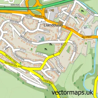
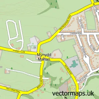
Nearby street map samples around Pensarn

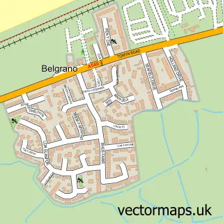
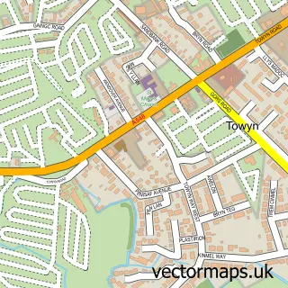
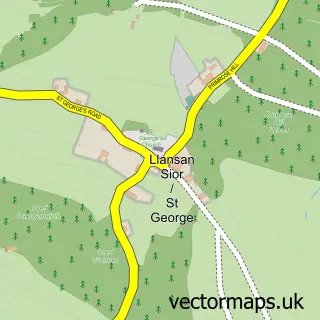
More street maps in Clwyd
750 metre map area coverage
Boundary, postcode and point of interest information for the 750m x 750m rectangle centred on this sample map.
Boundaries containing map centre
Constituency: Clwyd North Co Const
District: Conwy - Conwy
Icb: Betsi Cadwaladr University
Parish: Abergele Community
Police Force: north wales
Postcode District: LL22
Postcode Sector: LL22 7
Nearby boundaries intersecting sample
Postcode Sector: LL22 9
Postcode coverage
POI category counts
Campground: 3
Convenience Store: 3
Driving School: 3
Cafe: 2
Mobile Home Park: 2
Train Station: 2
Advertising Agency: 1
Atms: 1
Betting Center: 1
British Restaurant: 1
Sample points of interest
- Caravan Estate Agent
- The Cooperative Food Pensarn - Marine Terrace (ERF)
- William Hill
- Trev's Food Glorious Food
- Caravan Estate Agent
- Gwesty Glyndwr
- Scrappy Jacks Cafe
- Harts Caravan Park
- Harts Caravan Park
- Pentre Mawr Caravan Park
- Bubbles Day Nursery
- Costa Express
Create a larger editable map of Pensarn
This sample shows only a 750 metre area. To create a larger map of Pensarn, use our map builder to choose your own coverage area, add titles and download editable SVG, PDF and PNG files.
Create a custom map of Pensarn