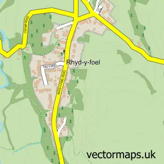
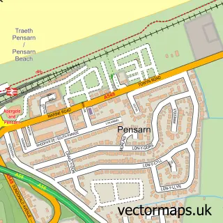
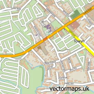
This Llanddulas street map is a detailed vector street map covering a 750m x 750m area. Select a larger area to create and download your own vector street map of Llanddulas.
The 750-metre map sample for Llanddulas covers 410 mapped buildings and approximately 26.0 km of road detail, of which 29 named roads are named. The immediate area includes 1 school, 1 pub and 2 MOT stations within 2 miles. The wider area around Llanddulas features 2 tourism points of interest, 3 food and drink venues and 1 campsite within 2 miles. To create a larger or custom map of Llanddulas, the map builder lets you define your own coverage area and download editable SVG, PDF and PNG files.
Create a larger editable map of Llanddulas
Choose any area you need and generate a high-quality vector map instantly. Perfect for print, planning, design, business and personal use.

This Llanddulas street map in Clwyd is available as downloadable SVG, PDF and PNG map files, or as a printed map for planning, business, display, education, local information and design work. You can also create a larger custom map area using the map selector.
What this Llanddulas map sample shows
Llanddulas lies within Llanddulas And Rhyd-Y-Foel Community parish, part of Llanddulas ward in the Conwy - Conwy local authority area. The postcode geography for this area includes the LL postcode area, the LL22 postcode district and the LL22 8 postcode sector. Residents fall under the Betsi Cadwaladr University Health Board for NHS services.
Local features near Llanddulas
Within 2 milesAmenities and services in and around Llanddulas.
Administrative and postcode information for Llanddulas
Llanddulas lies within Llanddulas And Rhyd-Y-Foel Community parish, part of Llanddulas ward in the Conwy - Conwy local authority area. The postcode geography for this area includes the LL postcode area, the LL22 postcode district and the LL22 8 postcode sector. Residents fall under the Betsi Cadwaladr University Health Board for NHS services.
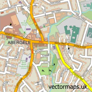
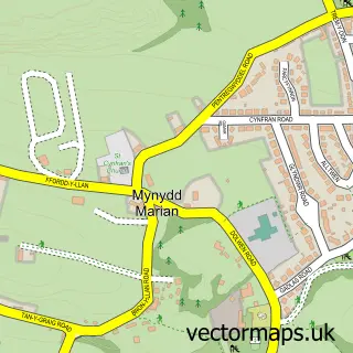
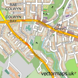
Nearby street map samples around Llanddulas

More street maps in Clwyd
750 metre map area coverage
Boundary, postcode and point of interest information for the 750m x 750m rectangle centred on this sample map.
Boundaries containing map centre
Constituency: Clwyd North Co Const
District: Conwy - Conwy
Icb: Betsi Cadwaladr University
Parish: Llanddulas and Rhyd-y-Foel Community
Police Force: north wales
Postcode District: LL22
Postcode Sector: LL22 8
Nearby boundaries intersecting sample
Parish: Llysfaen Community
Postcode District: LL29
Postcode Sector: LL29 8
Postcode coverage
POI category counts
Campground: 2
Car Dealer: 2
Convenience Store: 2
Elementary School: 2
Gas Station: 2
Post Office: 2
Property Management: 2
Advertising Agency: 1
Atms: 1
Automotive Repair: 1
Sample points of interest
- C & S Technology
- Shell Expressway (801), Llanddulas
- Tan Y Bont Garage
- Gem's Cakes
- BeDazzled Nails & Beauty
- Plas Tirion Guest House
- Oinky's Diner
- Llanddulas Chalet Park
- Thornley Leisure Parks
- North Wales Van Sales
- North Wales Van Sales Ltd
- St Cynbryd's Church
Create a larger editable map of Llanddulas
This sample shows only a 750 metre area. To create a larger map of Llanddulas, use our map builder to choose your own coverage area, add titles and download editable SVG, PDF and PNG files.
Create a custom map of Llanddulas