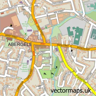
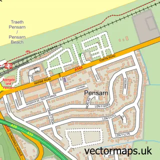
This St. George street map is a detailed vector street map covering a 750m x 750m area. Select a larger area to create and download your own vector street map of St. George.
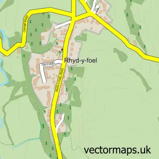
The 750-metre map sample for St. George covers 31 mapped buildings and approximately 7.2 km of road detail, of which 3 named roads are named. The immediate area includes 1 school, 1 pub and 6 MOT stations within 2 miles. The wider area around St. George features 1 food and drink venue. To create a larger or custom map of St. George, the map builder lets you define your own coverage area and download editable SVG, PDF and PNG files.
Create a larger editable map of St. George
Choose any area you need and generate a high-quality vector map instantly. Perfect for print, planning, design, business and personal use.

This St. George street map in Clwyd is available as downloadable SVG, PDF and PNG map files, or as a printed map for planning, business, display, education, local information and design work. You can also create a larger custom map area using the map selector.
What this St. George map sample shows
St. George lies within Abergele Community parish, part of Gele ward in the Conwy - Conwy local authority area. The postcode geography for this area includes the LL postcode area, the LL22 postcode district and the LL22 9 postcode sector. Residents fall under the Betsi Cadwaladr University Health Board for NHS services.
Local features near St. George
Within 2 milesAmenities and services in and around St. George.
Administrative and postcode information for St. George
St. George lies within Abergele Community parish, part of Gele ward in the Conwy - Conwy local authority area. The postcode geography for this area includes the LL postcode area, the LL22 postcode district and the LL22 9 postcode sector. Residents fall under the Betsi Cadwaladr University Health Board for NHS services.
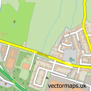
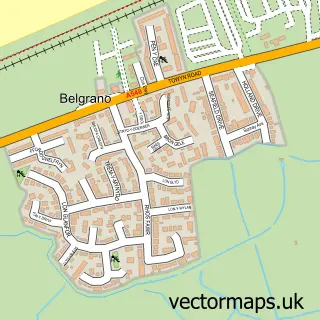
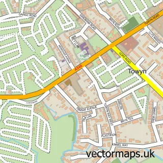
Nearby street map samples around St. George

More street maps in Clwyd
750 metre map area coverage
Boundary, postcode and point of interest information for the 750m x 750m rectangle centred on this sample map.
Boundaries containing map centre
Constituency: Clwyd North Co Const
District: Conwy - Conwy
Icb: Betsi Cadwaladr University
Parish: Abergele Community
Police Force: north wales
Postcode District: LL22
Postcode Sector: LL22 9
Nearby boundaries intersecting sample
No additional intersecting boundaries found.
Postcode coverage
POI category counts
Paintball: 3
Church Cathedral: 2
Elementary School: 2
Building Supply Store: 1
Education: 1
Pub: 1
Sample points of interest
- Tarmac Central
- St George's Church
- St Michaels Church St George
- Tactical Training Solutions
- St George Church in Wales Primary School
- St George Controlled County Primary School
- Adventure Company Ltd.
- Bedlam Paintball
- Go Ballistic
- The Kinmel Arms
Create a larger editable map of St. George
This sample shows only a 750 metre area. To create a larger map of St. George, use our map builder to choose your own coverage area, add titles and download editable SVG, PDF and PNG files.
Create a custom map of St. George