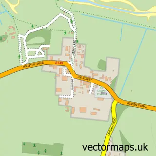
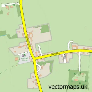
This Blakeney street map is a detailed vector street map covering a 750m x 750m area. Select a larger area to create and download your own vector street map of Blakeney.
The 750-metre map sample for Blakeney covers 334 mapped buildings and approximately 11.6 km of road detail, of which 18 named roads are named. The immediate area includes 3 pubs and 1 MOT station. The wider area around Blakeney features 5 tourism points of interest, 6 food and drink venues and 10 hotels. To create a larger or custom map of Blakeney, the map builder lets you define your own coverage area and download editable SVG, PDF and PNG files.
Create a larger editable map of Blakeney
Choose any area you need and generate a high-quality vector map instantly. Perfect for print, planning, design, business and personal use.

This Blakeney street map in Norfolk is available as downloadable SVG, PDF and PNG map files, or as a printed map for planning, business, display, education, local information and design work. You can also create a larger custom map area using the map selector.
What this Blakeney map sample shows
Blakeney lies within Blakeney Cp parish, part of Coastal ward in the North Norfolk District local authority area. The postcode geography for this area includes the NR postcode area, the NR25 postcode district and the NR25 7 postcode sector. Residents fall under the Nhs Norfolk And Waveney Integrated Care Board for NHS services.
Local features near Blakeney
Within 2 milesAmenities and services in and around Blakeney.
Administrative and postcode information for Blakeney
The local authority covering Blakeney is North Norfolk District, within the county of Norfolk. The settlement lies within Coastal ward and Blakeney Cp civil parish. The NR25 postcode district and NR25 7 postcode sector serve the immediate area. NHS provision in the area is delivered through Norfolk And Norwich University Hospitals Nhs Foundation Trust.
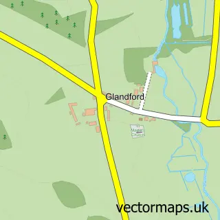
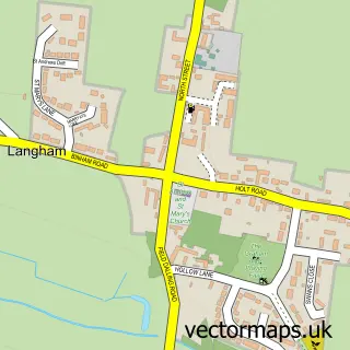
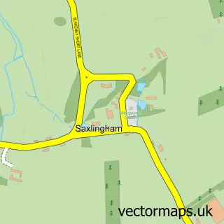
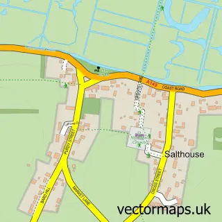
Nearby street map samples around Blakeney

More street maps in Norfolk
750 metre map area coverage
Boundary, postcode and point of interest information for the 750m x 750m rectangle centred on this sample map.
Boundaries containing map centre
Constituency: North Norfolk Co Const
County: Norfolk County
District: North Norfolk District
Icb: NHS Norfolk and Waveney ICB
Parish: Blakeney CP
Police Force: norfolk
Postcode District: NR25
Postcode Sector: NR25 7
Ward: Coastal Ward
Nearby boundaries intersecting sample
No additional intersecting boundaries found.
Postcode coverage
POI category counts
Hotel: 10
Bed And Breakfast: 3
Pub: 3
Attractions And Activities: 2
Bakery: 2
Church Cathedral: 2
Cottage: 2
Gas Station: 2
Holiday Rental Home: 2
Restaurant: 2
Sample points of interest
- The Flint Gallery
- Seagulls and Samphire Art and Craft Centre
- Alison Wagstaffe
- BR Spar Blakeney (Lock swap), BLAKENEY
- Blakeney National Nature Reserve
- Norfolk Coastal Path
- Birdys Bakehouse
- Two Magpies Bakery
- Blakeney Quay
- Blakeney House
- Bramble Lodge Annex & B&B
- Kings Arms
Create a larger editable map of Blakeney
This sample shows only a 750 metre area. To create a larger map of Blakeney, use our map builder to choose your own coverage area, add titles and download editable SVG, PDF and PNG files.
Create a custom map of Blakeney