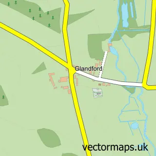
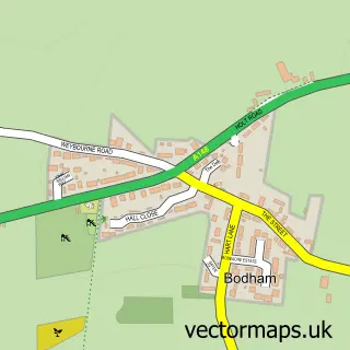
This Salthouse street map is a detailed vector street map covering a 750m x 750m area. Select a larger area to create and download your own vector street map of Salthouse.
The 750-metre map sample for Salthouse covers 136 mapped buildings and approximately 11.7 km of road detail, of which 8 named roads are named. The immediate area includes 1 pub. The wider area around Salthouse features 1 food and drink venue and 2 hotels. To create a larger or custom map of Salthouse, the map builder lets you define your own coverage area and download editable SVG, PDF and PNG files.
Create a larger editable map of Salthouse
Choose any area you need and generate a high-quality vector map instantly. Perfect for print, planning, design, business and personal use.

This Salthouse street map in Norfolk is available as downloadable SVG, PDF and PNG map files, or as a printed map for planning, business, display, education, local information and design work. You can also create a larger custom map area using the map selector.
What this Salthouse map sample shows
Salthouse lies within Salthouse Cp parish, part of Coastal ward in the North Norfolk District local authority area. The postcode geography for this area includes the NR postcode area, the NR25 postcode district and the NR25 7 postcode sector. Residents fall under the Nhs Norfolk And Waveney Integrated Care Board for NHS services.
Local features near Salthouse
Within 2 milesAmenities and services in and around Salthouse.
Administrative and postcode information for Salthouse
The local authority covering Salthouse is North Norfolk District, within the county of Norfolk. The settlement lies within Coastal ward and Salthouse Cp civil parish. The NR25 postcode district and NR25 7 postcode sector serve the immediate area. NHS provision in the area is delivered through Norfolk And Norwich University Hospitals Nhs Foundation Trust.
Nearby street map samples around Salthouse
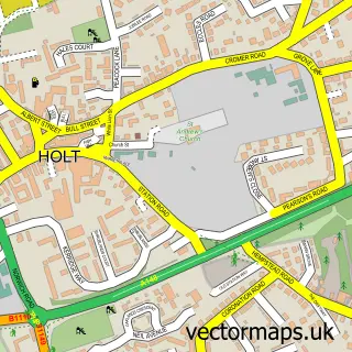

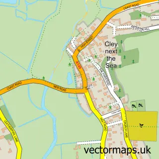
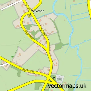
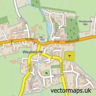
More street maps in Norfolk
750 metre map area coverage
Boundary, postcode and point of interest information for the 750m x 750m rectangle centred on this sample map.
Boundaries containing map centre
Constituency: North Norfolk Co Const
County: Norfolk County
District: North Norfolk District
Icb: NHS Norfolk and Waveney ICB
Parish: Salthouse CP
Police Force: norfolk
Postcode District: NR25
Postcode Sector: NR25 7
Ward: Coastal Ward
Nearby boundaries intersecting sample
No additional intersecting boundaries found.
Postcode coverage
POI category counts
Church Cathedral: 2
Holiday Rental Home: 2
Hotel: 2
Seafood Restaurant: 2
Anglican Church: 1
Business Manufacturing And Supply: 1
Convenience Store: 1
Organic Grocery Store: 1
Pub: 1
Retail: 1
Sample points of interest
- Salthouse: St Nicholas
- Air Water Fish
- Saint Nicholas Church, Grouts Ln, Salthouse, Holt
- St Nicholas' Church
- The Old Post Office Salthouse
- Marsh View
- Sea Watch Holiday House
- Gannets
- Pit Cottage
- Salthouse Store
- The Dun Cow
- Wild Sounds & Books
Create a larger editable map of Salthouse
This sample shows only a 750 metre area. To create a larger map of Salthouse, use our map builder to choose your own coverage area, add titles and download editable SVG, PDF and PNG files.
Create a custom map of Salthouse