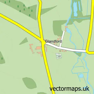
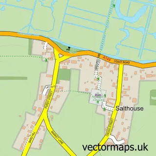
This Cley next the Sea street map is a detailed vector street map covering a 750m x 750m area. Select a larger area to create and download your own vector street map of Cley next the Sea.
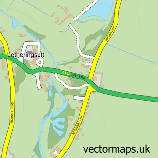
The 750-metre map sample for Cley next the Sea covers 165 mapped buildings and approximately 10.4 km of road detail, of which 12 named roads are named. The immediate area includes 1 pub and 1 MOT station within 2 miles. The wider area around Cley next the Sea features 1 tourism point of interest, 1 food and drink venue and 1 hotel. To create a larger or custom map of Cley next the Sea, the map builder lets you define your own coverage area and download editable SVG, PDF and PNG files.
Create a larger editable map of Cley next the Sea
Choose any area you need and generate a high-quality vector map instantly. Perfect for print, planning, design, business and personal use.

This Cley next the Sea street map in Norfolk is available as downloadable SVG, PDF and PNG map files, or as a printed map for planning, business, display, education, local information and design work. You can also create a larger custom map area using the map selector.
What this Cley next the Sea map sample shows
Cley next the Sea lies within Cley Next The Sea Cp parish, part of Coastal ward in the North Norfolk District local authority area. The postcode geography for this area includes the NR postcode area, the NR25 postcode district and the NR25 7 postcode sector. Residents fall under the Nhs Norfolk And Waveney Integrated Care Board for NHS services.
Local features near Cley next the Sea
Within 2 milesAmenities and services in and around Cley next the Sea.
Administrative and postcode information for Cley next the Sea
Cley next the Sea lies within Cley Next The Sea Cp parish, part of Coastal ward in the North Norfolk District local authority area. The postcode geography for this area includes the NR postcode area, the NR25 postcode district and the NR25 7 postcode sector. Residents fall under the Nhs Norfolk And Waveney Integrated Care Board for NHS services.
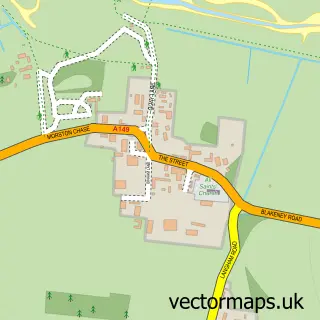
Nearby street map samples around Cley next the Sea
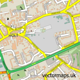

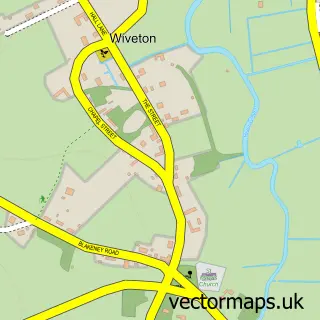
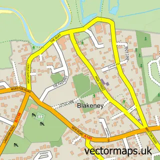
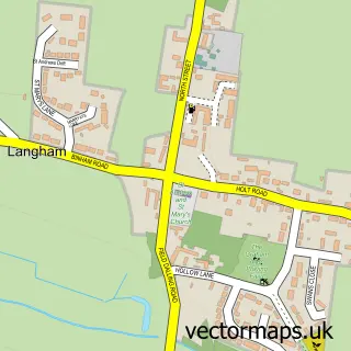
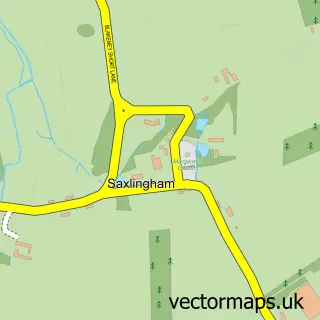
More street maps in Norfolk
750 metre map area coverage
Boundary, postcode and point of interest information for the 750m x 750m rectangle centred on this sample map.
Boundaries containing map centre
Constituency: North Norfolk Co Const
County: Norfolk County
District: North Norfolk District
Icb: NHS Norfolk and Waveney ICB
Parish: Cley Next the Sea CP
Police Force: norfolk
Postcode District: NR25
Postcode Sector: NR25 7
Ward: Coastal Ward
Nearby boundaries intersecting sample
Parish: Wiveton CP
Postcode coverage
POI category counts
Art Gallery: 2
Bed And Breakfast: 2
Delicatessen: 2
Accommodation: 1
Bookstore: 1
Community Center: 1
Contractor: 1
Flowers And Gifts Shop: 1
Holiday Rental Home: 1
Hotel: 1
Sample points of interest
- Hillside, Cley, Norfolk
- Made in Cley Pottery
- Pinkfoot Gallery
- Cley Windmill
- The Harnser
- Crabpot Books
- Cley Village Hall
- A P Screeding Services
- Cley Smokehouse
- Picnic Fayre
- Artemis Cley
- The Studio
Create a larger editable map of Cley next the Sea
This sample shows only a 750 metre area. To create a larger map of Cley next the Sea, use our map builder to choose your own coverage area, add titles and download editable SVG, PDF and PNG files.
Create a custom map of Cley next the Sea