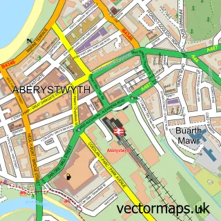
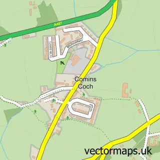
This Bow Street street map is a detailed vector street map covering a 750m x 750m area. Select a larger area to create and download your own vector street map of Bow Street.
The 750-metre map sample for Bow Street covers 168 mapped buildings and approximately 8.0 km of road detail, of which 8 named roads are named. The immediate area includes 1 railway station, 1 pub and 2 MOT stations within 2 miles. The wider area around Bow Street features 1 food and drink venue and 1 hotel. To create a larger or custom map of Bow Street, the map builder lets you define your own coverage area and download editable SVG, PDF and PNG files.
Create a larger editable map of Bow Street
Choose any area you need and generate a high-quality vector map instantly. Perfect for print, planning, design, business and personal use.

This Bow Street street map in Dyfed is available as downloadable SVG, PDF and PNG map files, or as a printed map for planning, business, display, education, local information and design work. You can also create a larger custom map area using the map selector.
What this Bow Street map sample shows
Bow Street lies within Tirymynach Community parish, part of Tirymynach ward in the Sir Ceredigion - Ceredigion local authority area. The postcode geography for this area includes the SY postcode area, the SY24 postcode district and the SY24 5 postcode sector. Residents fall under the Hywel Dda University Health Board for NHS services.
Local features near Bow Street
Within 2 milesAmenities and services in and around Bow Street.
Administrative and postcode information for Bow Street
Bow Street lies within Tirymynach Community parish, part of Tirymynach ward in the Sir Ceredigion - Ceredigion local authority area. The postcode geography for this area includes the SY postcode area, the SY24 postcode district and the SY24 5 postcode sector. Residents fall under the Hywel Dda University Health Board for NHS services.
Nearby street map samples around Bow Street

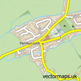
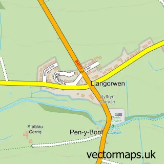
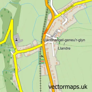

More street maps in Dyfed
750 metre map area coverage
Boundary, postcode and point of interest information for the 750m x 750m rectangle centred on this sample map.
Boundaries containing map centre
Constituency: Ceredigion Preseli Co Const
District: Sir Ceredigion - Ceredigion
Icb: Hywel Dda
Parish: Tirymynach Community
Police Force: dyfed-powys
Postcode District: SY24
Postcode Sector: SY24 5
Nearby boundaries intersecting sample
No additional intersecting boundaries found.
Postcode coverage
POI category counts
Convenience Store: 4
Building Supply Store: 2
Train Station: 2
Arts And Entertainment: 1
Bathroom Remodeling: 1
Beauty Salon: 1
Casino: 1
Dog Park: 1
Home Service: 1
Hotel: 1
Sample points of interest
- Funtastic Entertainment
- Murphy Gas Services
- Bliss hair, beauty & wellbeing
- Huws Gray Aberystwyth
- Price Fixings
- Ace of Gold
- SPAR
- SPAR - Bow Street
- SPAR Bow Street
- SPAR Bow Street
- Gogerddan Allt Ddel
- Little Rainbows Childminder
Create a larger editable map of Bow Street
This sample shows only a 750 metre area. To create a larger map of Bow Street, use our map builder to choose your own coverage area, add titles and download editable SVG, PDF and PNG files.
Create a custom map of Bow Street