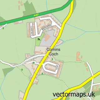
This Clarach street map is a detailed vector street map covering a 750m x 750m area. Select a larger area to create and download your own vector street map of Clarach.
The 750-metre map sample for Clarach covers 34 mapped buildings and approximately 5.6 km of road detail. The immediate area includes 3 MOT stations within 2 miles. The wider area around Clarach features 2 tourism points of interest and 4 hotels. To create a larger or custom map of Clarach, the map builder lets you define your own coverage area and download editable SVG, PDF and PNG files.
Create a larger editable map of Clarach
Choose any area you need and generate a high-quality vector map instantly. Perfect for print, planning, design, business and personal use.

This Clarach street map in Dyfed is available as downloadable SVG, PDF and PNG map files, or as a printed map for planning, business, display, education, local information and design work. You can also create a larger custom map area using the map selector.
What this Clarach map sample shows
Clarach lies within Tirymynach Community parish, part of Tirymynach ward in the Sir Ceredigion - Ceredigion local authority area. The postcode geography for this area includes the SY postcode area, the SY23 postcode district and the SY23 3 postcode sector. Residents fall under the Hywel Dda University Health Board for NHS services.
Local features near Clarach
Within 2 milesAmenities and services in and around Clarach.
Administrative and postcode information for Clarach
The local authority covering Clarach is Sir Ceredigion - Ceredigion, within the county of Dyfed. The settlement lies within Tirymynach ward and Tirymynach Community civil parish. The SY23 postcode district and SY23 3 postcode sector serve the immediate area. NHS provision in the area is delivered through Hywel Dda University Health Board.
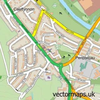
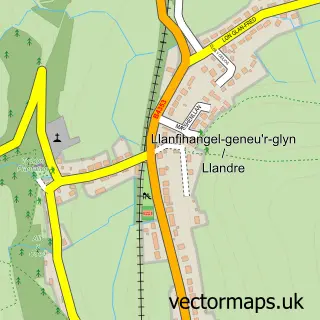
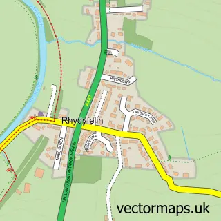
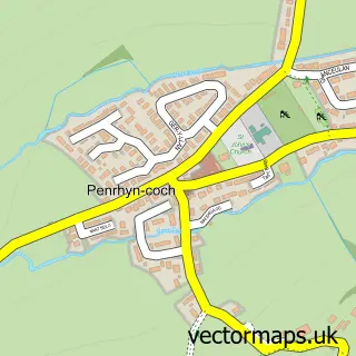
Nearby street map samples around Clarach


More street maps in Dyfed
750 metre map area coverage
Boundary, postcode and point of interest information for the 750m x 750m rectangle centred on this sample map.
Boundaries containing map centre
Constituency: Ceredigion Preseli Co Const
District: Sir Ceredigion - Ceredigion
Icb: Hywel Dda
Parish: Tirymynach Community
Police Force: dyfed-powys
Postcode District: SY23
Postcode Sector: SY23 3
Nearby boundaries intersecting sample
No additional intersecting boundaries found.
Postcode coverage
POI category counts
Campground: 2
Holiday Rental Home: 2
Hotel: 2
Rv Park: 2
Beach: 1
Lounge: 1
Mobile Home Park: 1
River: 1
Topic Concert Venue: 1
Sample points of interest
- Clarach Beach, Aberystwyth
- Glan Y Mor Leisure Park
- Showboat Club
- Driftwood 42 Chalet at Clarach Bay
- Terra Nova Caravans
- Clarach Bay Gold Caravan
- Clarach Bay Seafront- Icecream and Burger Bar
- The Tom Barker Lounge
- Ocean View Holiday Park
- Afon Clarach
- Aber Bay Holiday Park
- Clarach Bay Holiday Village
Create a larger editable map of Clarach
This sample shows only a 750 metre area. To create a larger map of Clarach, use our map builder to choose your own coverage area, add titles and download editable SVG, PDF and PNG files.
Create a custom map of Clarach