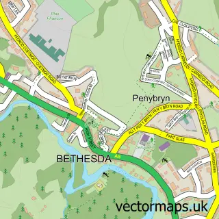
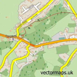
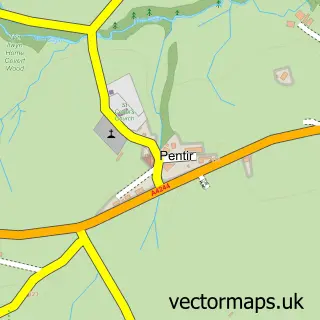
This Braichmelyn street map is a detailed vector street map covering a 750m x 750m area. Select a larger area to create and download your own vector street map of Braichmelyn.
The 750-metre map sample for Braichmelyn covers 107 mapped buildings and approximately 10.6 km of road detail, of which 10 named roads are named. The immediate area includes 3 MOT stations within 2 miles. To create a larger or custom map of Braichmelyn, the map builder lets you define your own coverage area and download editable SVG, PDF and PNG files.
Create a larger editable map of Braichmelyn
Choose any area you need and generate a high-quality vector map instantly. Perfect for print, planning, design, business and personal use.

This Braichmelyn street map in Gwynedd is available as downloadable SVG, PDF and PNG map files, or as a printed map for planning, business, display, education, local information and design work. You can also create a larger custom map area using the map selector.
What this Braichmelyn map sample shows
Braichmelyn lies within Bethesda Community parish, part of Gerlan ward in the Gwynedd - Gwynedd local authority area. The postcode geography for this area includes the LL postcode area, the LL57 postcode district and the LL57 3 postcode sector. Residents fall under the Betsi Cadwaladr University Health Board for NHS services.
Local features near Braichmelyn
Within 2 milesAmenities and services in and around Braichmelyn.
Administrative and postcode information for Braichmelyn
Braichmelyn lies within Bethesda Community parish, part of Gerlan ward in the Gwynedd - Gwynedd local authority area. The postcode geography for this area includes the LL postcode area, the LL57 postcode district and the LL57 3 postcode sector. Residents fall under the Betsi Cadwaladr University Health Board for NHS services.
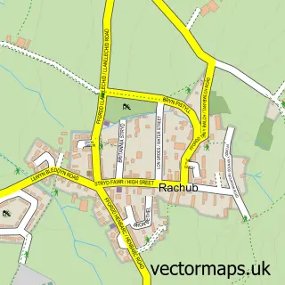
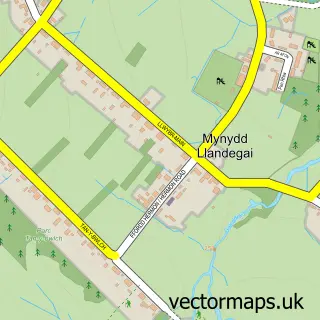
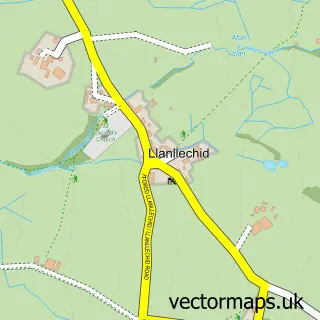
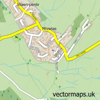
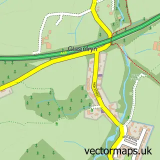
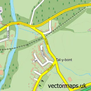
Nearby street map samples around Braichmelyn

More street maps in Gwynedd
750 metre map area coverage
Boundary, postcode and point of interest information for the 750m x 750m rectangle centred on this sample map.
Boundaries containing map centre
Constituency: Bangor Aberconwy Co Const
District: Gwynedd - Gwynedd
Icb: Betsi Cadwaladr University
Parish: Bethesda Community
Police Force: north wales
Postcode District: LL57
Postcode Sector: LL57 3
Nearby boundaries intersecting sample
Parish: Llandygai Community, Llanllechid Community
Postcode Sector: LL57 4
Postcode coverage
POI category counts
Building Supply Store: 2
Active Life: 1
Alternative Medicine: 1
Bank Credit Union: 1
Bike Repair Maintenance: 1
Business Manufacturing And Supply: 1
Cabin: 1
Dog Walkers: 1
Grocery Store: 1
Hiking Trail: 1
Sample points of interest
- Snowdonia Walking and Climbing
- Inspiratrix Therapies
- Ogwen Bank Bethesda
- Deep Cycles
- C L Jones
- C. L. Jones Ltd
- Wacky Wedge Cheese Company
- DraigDene Summerhouse
- Doggy Days Out
- Cosyn Cymru
- Lon Las Ogwen
- Penrhyn Quarry Hospital
Create a larger editable map of Braichmelyn
This sample shows only a 750 metre area. To create a larger map of Braichmelyn, use our map builder to choose your own coverage area, add titles and download editable SVG, PDF and PNG files.
Create a custom map of Braichmelyn