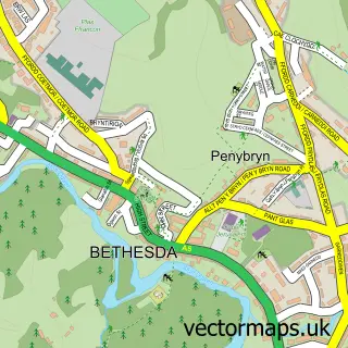
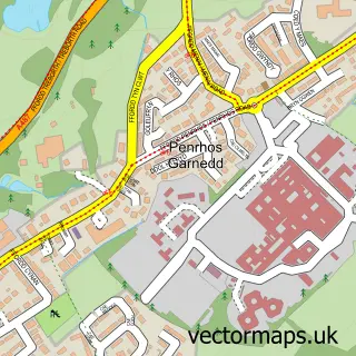
This Tal-y-bont street map is a detailed vector street map covering a 750m x 750m area. Select a larger area to create and download your own vector street map of Tal-y-bont.
The 750-metre map sample for Tal-y-bont covers 110 mapped buildings and approximately 11.2 km of road detail, of which 7 named roads are named. The immediate area includes 6 MOT stations within 2 miles. The wider area around Tal-y-bont features 1 tourism point of interest, 1 hotel and 1 campsite within 2 miles. To create a larger or custom map of Tal-y-bont, the map builder lets you define your own coverage area and download editable SVG, PDF and PNG files.
Create a larger editable map of Tal-y-bont
Choose any area you need and generate a high-quality vector map instantly. Perfect for print, planning, design, business and personal use.

This Tal-y-bont street map in Gwynedd is available as downloadable SVG, PDF and PNG map files, or as a printed map for planning, business, display, education, local information and design work. You can also create a larger custom map area using the map selector.
What this Tal-y-bont map sample shows
Tal-y-bont lies within Llanllechid Community parish, part of Arllechwedd ward in the Gwynedd - Gwynedd local authority area. The postcode geography for this area includes the LL postcode area, the LL57 postcode district and the LL57 3 postcode sector. Residents fall under the Betsi Cadwaladr University Health Board for NHS services.
Local features near Tal-y-bont
Within 2 milesAmenities and services in and around Tal-y-bont.
Administrative and postcode information for Tal-y-bont
The local authority covering Tal-y-bont is Gwynedd - Gwynedd, within the county of Gwynedd. The settlement lies within Arllechwedd ward and Llanllechid Community civil parish. The LL57 postcode district and LL57 3 postcode sector serve the immediate area. NHS provision in the area is delivered through Betsi Cadwaladr University Health Board.
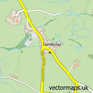
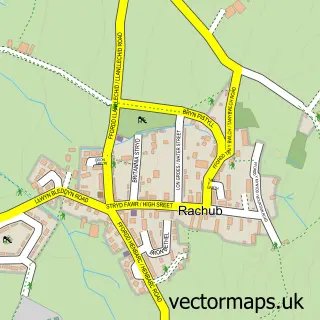
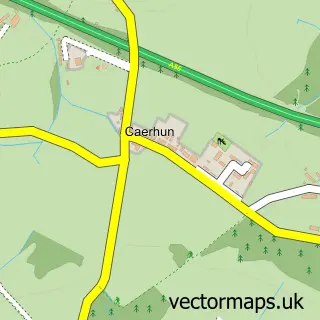
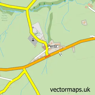
Nearby street map samples around Tal-y-bont

More street maps in Gwynedd
750 metre map area coverage
Boundary, postcode and point of interest information for the 750m x 750m rectangle centred on this sample map.
Boundaries containing map centre
Constituency: Bangor Aberconwy Co Const
District: Gwynedd - Gwynedd
Icb: Betsi Cadwaladr University
Parish: Llanllechid Community
Police Force: north wales
Postcode District: LL57
Postcode Sector: LL57 3
Nearby boundaries intersecting sample
Parish: Llandygai Community
Postcode Sector: LL57 4
Postcode coverage
POI category counts
Arts And Entertainment: 1
Business Management Services: 1
Carpet Store: 1
Education: 1
Hotel: 1
Music Venue: 1
Park: 1
Taxi Service: 1
Sample points of interest
- Tammy's Face Painting
- Celtest Company Ltd.
- Jason Hughes Flooring
- Little Angels Childminding Service
- The Slate
- Hendre
- Penrhyn Castle
- Mark's Cabs
Create a larger editable map of Tal-y-bont
This sample shows only a 750 metre area. To create a larger map of Tal-y-bont, use our map builder to choose your own coverage area, add titles and download editable SVG, PDF and PNG files.
Create a custom map of Tal-y-bont