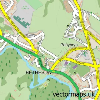
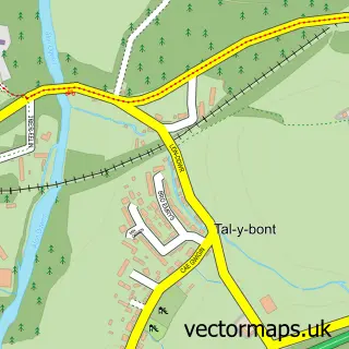
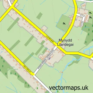
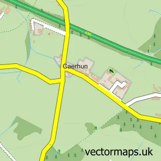
This Rachub street map is a detailed vector street map covering a 750m x 750m area. Select a larger area to create and download your own vector street map of Rachub.
The 750-metre map sample for Rachub covers 211 mapped buildings and approximately 9.9 km of road detail, of which 15 named roads are named. The immediate area includes 1 pub and 4 MOT stations within 2 miles. The wider area around Rachub features 1 tourism point of interest, 1 food and drink venue and 1 hotel. To create a larger or custom map of Rachub, the map builder lets you define your own coverage area and download editable SVG, PDF and PNG files.
Create a larger editable map of Rachub
Choose any area you need and generate a high-quality vector map instantly. Perfect for print, planning, design, business and personal use.

This Rachub street map in Gwynedd is available as downloadable SVG, PDF and PNG map files, or as a printed map for planning, business, display, education, local information and design work. You can also create a larger custom map area using the map selector.
What this Rachub map sample shows
Rachub lies within Llanllechid Community parish, part of Arllechwedd ward in the Gwynedd - Gwynedd local authority area. The postcode geography for this area includes the LL postcode area, the LL57 postcode district and the LL57 3 postcode sector. Residents fall under the Betsi Cadwaladr University Health Board for NHS services.
Local features near Rachub
Within 2 milesAmenities and services in and around Rachub.
Administrative and postcode information for Rachub
Rachub lies within Llanllechid Community parish, part of Arllechwedd ward in the Gwynedd - Gwynedd local authority area. The postcode geography for this area includes the LL postcode area, the LL57 postcode district and the LL57 3 postcode sector. Residents fall under the Betsi Cadwaladr University Health Board for NHS services.
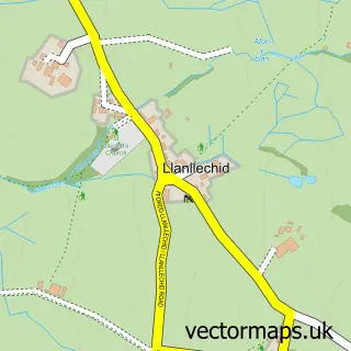
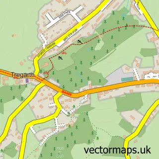
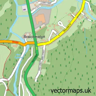
Nearby street map samples around Rachub

More street maps in Gwynedd
750 metre map area coverage
Boundary, postcode and point of interest information for the 750m x 750m rectangle centred on this sample map.
Boundaries containing map centre
Constituency: Bangor Aberconwy Co Const
District: Gwynedd - Gwynedd
Icb: Betsi Cadwaladr University
Parish: Bethesda Community
Police Force: north wales
Postcode District: LL57
Postcode Sector: LL57 3
Nearby boundaries intersecting sample
Parish: Llanllechid Community
Postcode coverage
POI category counts
Recording And Rehearsal Studio: 3
Convenience Store: 2
Bakery: 1
Business Management Services: 1
Cottage: 1
Driving School: 1
Electronics: 1
Elementary School: 1
Furniture Assembly: 1
Hotel: 1
Sample points of interest
- Popty Bakery LTD
- KBSW Stiwdio Un / Studio One / Residential Recording & Rehearsal Music Studio, North Wales
- Llanllechid Post Office
- Premier Llanlechid Convenience Store
- 2 Ysgoldy
- Driving Ambition
- Component Shop
- Ysgol Llanllechid
- Isaac Griffiths Upholstery
- Cariad Bach
- Inner World
- Stiwdio Un / Studio One
Create a larger editable map of Rachub
This sample shows only a 750 metre area. To create a larger map of Rachub, use our map builder to choose your own coverage area, add titles and download editable SVG, PDF and PNG files.
Create a custom map of Rachub