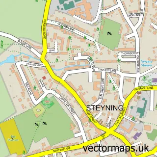
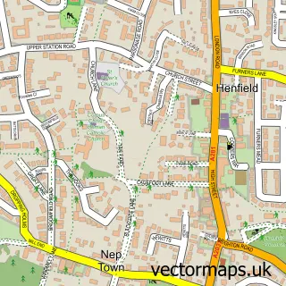
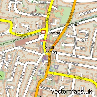
This Bramber street map is a detailed vector street map covering a 750m x 750m area. Select a larger area to create and download your own vector street map of Bramber.
The 750-metre map sample for Bramber covers 141 mapped buildings and approximately 11.0 km of road detail, of which 10 named roads are named. The immediate area includes 1 GP surgery within 2 miles and 2 MOT stations within 2 miles. The wider area around Bramber features 2 tourism points of interest, 1 food and drink venue and 3 hotels. To create a larger or custom map of Bramber, the map builder lets you define your own coverage area and download editable SVG, PDF and PNG files.
Create a larger editable map of Bramber
Choose any area you need and generate a high-quality vector map instantly. Perfect for print, planning, design, business and personal use.

This Bramber street map in West Sussex is available as downloadable SVG, PDF and PNG map files, or as a printed map for planning, business, display, education, local information and design work. You can also create a larger custom map area using the map selector.
What this Bramber map sample shows
Bramber lies within Bramber Cp parish, part of Bramber, Upper Beeding & Woodmancote ward in the Horsham District local authority area. The postcode geography for this area includes the BN postcode area, the BN44 postcode district and the BN44 3 postcode sector. Residents fall under the Nhs Sussex Integrated Care Board for NHS services.
Local features near Bramber
Within 2 milesAmenities and services in and around Bramber.
Administrative and postcode information for Bramber
Bramber lies within Bramber Cp parish, part of Bramber, Upper Beeding & Woodmancote ward in the Horsham District local authority area. The postcode geography for this area includes the BN postcode area, the BN44 postcode district and the BN44 3 postcode sector. Residents fall under the Nhs Sussex Integrated Care Board for NHS services.
Nearby street map samples around Bramber

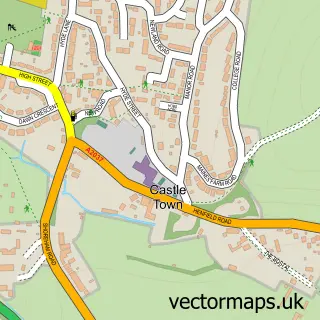
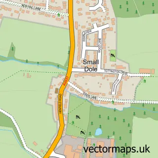
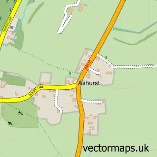
More street maps in West Sussex
750 metre map area coverage
Boundary, postcode and point of interest information for the 750m x 750m rectangle centred on this sample map.
Boundaries containing map centre
Constituency: Arundel and South Downs Co Const
County: West Sussex County
District: Horsham District
Icb: NHS Surrey and Sussex ICB
Parish: Bramber CP
Police Force: sussex
Postcode District: BN44
Postcode Sector: BN44 3
Ward: Bramber, Upper Beeding & Woodmancote Ward
Nearby boundaries intersecting sample
Parish: Steyning CP
Ward: Steyning & Ashurst Ward
Postcode coverage
POI category counts
Hotel: 3
Resort: 2
Anglican Church: 1
Carpet Store: 1
Castle: 1
Church Cathedral: 1
Driving School: 1
Energy Company: 1
Financial Service: 1
Indian Restaurant: 1
Sample points of interest
- 3Bs Church - Bramber, St Nicholas
- APS Flooring
- Bramber Castle
- St Nicholas Church
- Morgan 4x4
- Connected Kerb Charging Stations
- 2Plan
- Best Western Old Tollgate Hotel
- The Castle Inn Hotel
- The Old Tollgate
- Maharajah
- St. Mary's House & Gardens
Create a larger editable map of Bramber
This sample shows only a 750 metre area. To create a larger map of Bramber, use our map builder to choose your own coverage area, add titles and download editable SVG, PDF and PNG files.
Create a custom map of Bramber