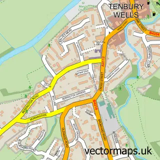
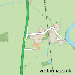
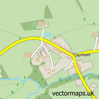
This Brimfield street map is a detailed vector street map covering a 750m x 750m area. Select a larger area to create and download your own vector street map of Brimfield.
The 750-metre map sample for Brimfield covers 175 mapped buildings and approximately 32.5 km of road detail, of which 6 named roads are named. The immediate area includes 1 pub and 1 MOT station. The wider area around Brimfield features 1 tourism point of interest and 1 food and drink venue. To create a larger or custom map of Brimfield, the map builder lets you define your own coverage area and download editable SVG, PDF and PNG files.
Create a larger editable map of Brimfield
Choose any area you need and generate a high-quality vector map instantly. Perfect for print, planning, design, business and personal use.

This Brimfield street map in Herefordshire is available as downloadable SVG, PDF and PNG map files, or as a printed map for planning, business, display, education, local information and design work. You can also create a larger custom map area using the map selector.
What this Brimfield map sample shows
Brimfield lies within Brimfield Cp parish, part of Leominster North & Rural ward in the County Of Herefordshire local authority area. The postcode geography for this area includes the SY postcode area, the SY8 postcode district and the SY8 4 postcode sector. Residents fall under the Nhs Herefordshire And Worcestershire Integrated Care Board for NHS services.
Local features near Brimfield
Within 2 milesAmenities and services in and around Brimfield.
Administrative and postcode information for Brimfield
Brimfield lies within Brimfield Cp parish, part of Leominster North & Rural ward in the County Of Herefordshire local authority area. The postcode geography for this area includes the SY postcode area, the SY8 postcode district and the SY8 4 postcode sector. Residents fall under the Nhs Herefordshire And Worcestershire Integrated Care Board for NHS services.
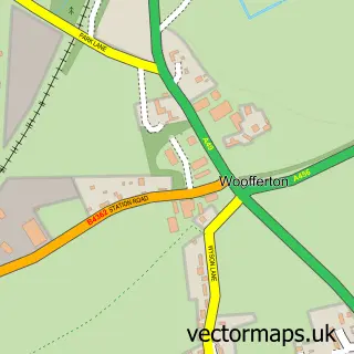
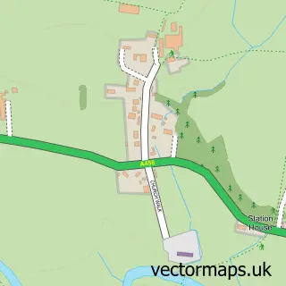
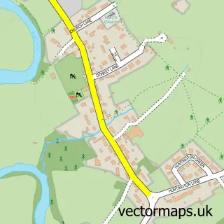
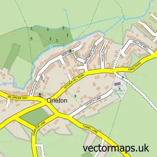
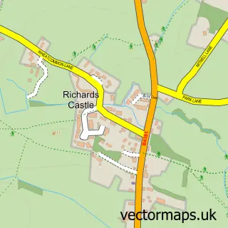
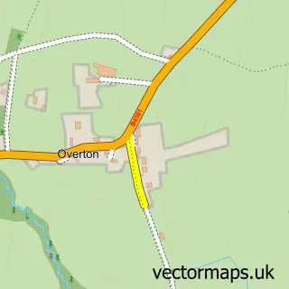
Nearby street map samples around Brimfield

More street maps in Herefordshire
750 metre map area coverage
Boundary, postcode and point of interest information for the 750m x 750m rectangle centred on this sample map.
Boundaries containing map centre
Constituency: North Herefordshire Co Const
District: County of Herefordshire
Icb: NHS Herefordshire and Worcestershire ICB
Parish: Brimfield CP
Police Force: west mercia
Postcode District: SY8
Postcode Sector: SY8 4
Ward: Leominster North & Rural Ward
Nearby boundaries intersecting sample
Constituency: South Shropshire Co Const
District: Shropshire
Icb: NHS Shropshire Telford and Wrekin ICB
Parish: Richard's Castle (Shropshire) CP
Postcode coverage
POI category counts
Arts And Entertainment: 2
Construction Services: 2
Contractor: 2
Post Office: 2
Automotive Repair: 1
Building Supply Store: 1
Car Dealer: 1
Community Center: 1
Distillery: 1
Landmark And Historical Building: 1
Sample points of interest
- Brimfield
- Penwill Cartoons
- Redfield Motors
- Bespoke Kitchens & Services
- Dl Motoring
- Brimfield Village Hall
- CM Carpentry and Building
- RJ Building Services
- Man About the House
- R J Building Services
- Kirkwood Distillery
- Brimfield, Herefordshire
Create a larger editable map of Brimfield
This sample shows only a 750 metre area. To create a larger map of Brimfield, use our map builder to choose your own coverage area, add titles and download editable SVG, PDF and PNG files.
Create a custom map of Brimfield