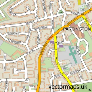
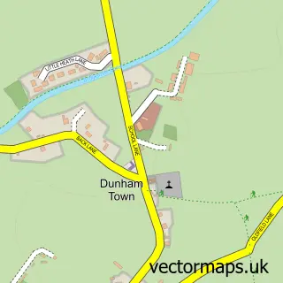
This Broomedge street map is a detailed vector street map covering a 750m x 750m area. Select a larger area to create and download your own vector street map of Broomedge.
The 750-metre map sample for Broomedge covers 152 mapped buildings and approximately 9.4 km of road detail, of which 13 named roads are named. The immediate area includes 2 GP surgeries within 2 miles, 5 pubs and 1 MOT station, with 4 within 2 miles. The wider area around Broomedge features 6 food and drink venues. To create a larger or custom map of Broomedge, the map builder lets you define your own coverage area and download editable SVG, PDF and PNG files.
Create a larger editable map of Broomedge
Choose any area you need and generate a high-quality vector map instantly. Perfect for print, planning, design, business and personal use.

This Broomedge street map in Cheshire is available as downloadable SVG, PDF and PNG map files, or as a printed map for planning, business, display, education, local information and design work. You can also create a larger custom map area using the map selector.
What this Broomedge map sample shows
Broomedge lies within Lymm Cp parish, part of Lymm South ward in the Warrington (B) local authority area. The postcode geography for this area includes the WA postcode area, the WA13 postcode district and the WA13 0 postcode sector. Residents fall under the Nhs Cheshire And Merseyside Integrated Care Board for NHS services.
Local features near Broomedge
Within 2 milesAmenities and services in and around Broomedge.
Administrative and postcode information for Broomedge
The local authority covering Broomedge is Warrington (B), within the county of Cheshire. The settlement lies within Lymm South ward and Lymm Cp civil parish. The WA13 postcode district and WA13 0 postcode sector serve the immediate area. NHS provision in the area is delivered through Warrington And Halton Teaching Hospitals Nhs Foundation Trust.
Nearby street map samples around Broomedge

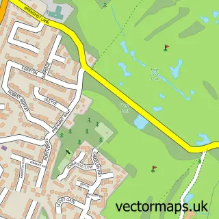
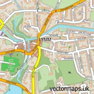
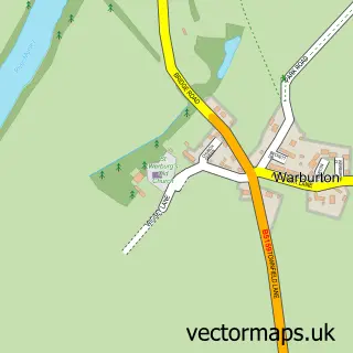

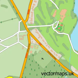
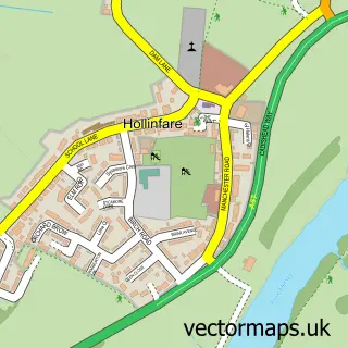
More street maps in Cheshire
750 metre map area coverage
Boundary, postcode and point of interest information for the 750m x 750m rectangle centred on this sample map.
Boundaries containing map centre
Constituency: Tatton Co Const
District: Warrington (B)
Icb: NHS Cheshire and Merseyside ICB
Parish: Lymm CP
Police Force: cheshire
Postcode District: WA13
Postcode Sector: WA13 0
Ward: Lymm South Ward
Nearby boundaries intersecting sample
District: Cheshire East (B)
Parish: Little Bollington with Agden CP
Ward: High Legh Ward
Postcode coverage
POI category counts
Pub: 5
Post Office: 4
Convenience Store: 2
Pet Store: 2
Advertising Agency: 1
Assisted Living Facility: 1
Automotive Repair: 1
Building Supply Store: 1
Cleaning Services: 1
Coffee Shop: 1
Sample points of interest
- Barc Back Marketing
- Arbor Living - Willow Pool, Cheshire
- P & H Motors
- Copeland Neil Windows & Conservatories
- T L C
- Costa Express
- The Home Renovation Centre
- Budgens
- Costcutter
- Cheshire Dog Fertility Clinic
- Broomedge Farm
- Evri ParcelShop
Create a larger editable map of Broomedge
This sample shows only a 750 metre area. To create a larger map of Broomedge, use our map builder to choose your own coverage area, add titles and download editable SVG, PDF and PNG files.
Create a custom map of Broomedge