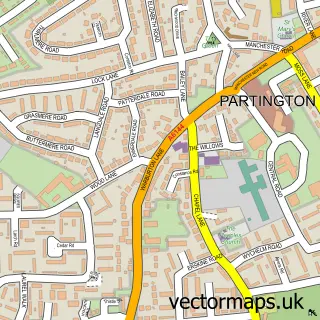
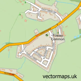
This Hollins Green street map is a detailed vector street map covering a 750m x 750m area. Select a larger area to create and download your own vector street map of Hollins Green.
The 750-metre map sample for Hollins Green covers 208 mapped buildings and approximately 12.1 km of road detail, of which 17 named roads are named. The immediate area includes 1 school, 3 GP surgeries within 2 miles, 2 pubs and 7 MOT stations within 2 miles. The wider area around Hollins Green features 2 food and drink venues. To create a larger or custom map of Hollins Green, the map builder lets you define your own coverage area and download editable SVG, PDF and PNG files.
Create a larger editable map of Hollins Green
Choose any area you need and generate a high-quality vector map instantly. Perfect for print, planning, design, business and personal use.

This Hollins Green street map in Cheshire is available as downloadable SVG, PDF and PNG map files, or as a printed map for planning, business, display, education, local information and design work. You can also create a larger custom map area using the map selector.
What this Hollins Green map sample shows
Hollins Green lies within Rixton-With-Glazebrook Cp parish, part of Rixton And Woolston ward in the Warrington (B) local authority area. The postcode geography for this area includes the WA postcode area, the WA3 postcode district and the WA3 6 postcode sector. Residents fall under the Nhs Cheshire And Merseyside Integrated Care Board for NHS services.
Local features near Hollins Green
Within 2 milesAmenities and services in and around Hollins Green.
Administrative and postcode information for Hollins Green
Hollins Green lies within Rixton-With-Glazebrook Cp parish, part of Rixton And Woolston ward in the Warrington (B) local authority area. The postcode geography for this area includes the WA postcode area, the WA3 postcode district and the WA3 6 postcode sector. Residents fall under the Nhs Cheshire And Merseyside Integrated Care Board for NHS services.
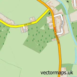
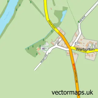
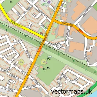
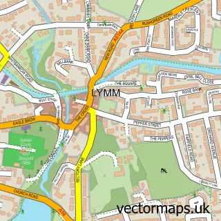
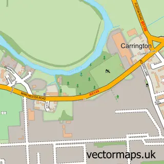
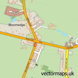
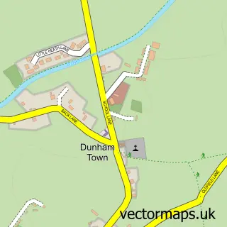
Nearby street map samples around Hollins Green

More street maps in Cheshire
750 metre map area coverage
Boundary, postcode and point of interest information for the 750m x 750m rectangle centred on this sample map.
Boundaries containing map centre
Constituency: Warrington North Co Const
District: Warrington (B)
Icb: NHS Cheshire and Merseyside ICB
Parish: Rixton-with-Glazebrook CP
Police Force: cheshire
Postcode District: WA3
Postcode Sector: WA3 6
Ward: Rixton & Woolston Ward
Nearby boundaries intersecting sample
Constituency: Altrincham and Sale West Boro Const, Stretford and Urmston Boro Const
District: Trafford District (B)
Icb: NHS Greater Manchester ICB
Parish: Partington CP, Warburton CP
Police Force: greater manchester
Postcode District: M31, WA13
Postcode Sector: M31 4, WA13 9, WA3 5
Ward: Bowdon Ward, Bucklow-St. Martins Ward
Postcode coverage
POI category counts
Auto Customization: 2
Automotive Repair: 2
Post Office: 2
Pub: 2
Advertising Agency: 1
Anglican Church: 1
Bakery: 1
Barber: 1
Beauty Salon: 1
Carpenter: 1
Sample points of interest
- Byteback Solutions
- Hollinfare St Helen
- B A S Nw Ltd.
- Bas (nw) Ltd.
- BAS Vehicle Adaptations
- VMS Fleet Rental
- Greggs
- Village Green Barbers
- HD Brows By Charlotte
- J T Joinery
- Rixton with Glazebrook Community Hall
- Hollins Green Community Shop
Create a larger editable map of Hollins Green
This sample shows only a 750 metre area. To create a larger map of Hollins Green, use our map builder to choose your own coverage area, add titles and download editable SVG, PDF and PNG files.
Create a custom map of Hollins Green