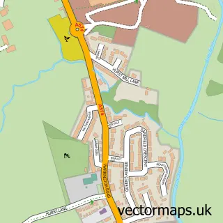
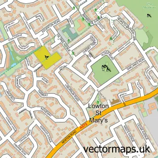
This Fowley Common street map is a detailed vector street map covering a 750m x 750m area. Select a larger area to create and download your own vector street map of Fowley Common.
The 750-metre map sample for Fowley Common covers 200 mapped buildings and approximately 9.1 km of road detail, of which 13 named roads are named. The immediate area includes 1 GP surgery within 2 miles, 1 pub and 2 MOT stations within 2 miles. The wider area around Fowley Common features 1 food and drink venue. To create a larger or custom map of Fowley Common, the map builder lets you define your own coverage area and download editable SVG, PDF and PNG files.
Create a larger editable map of Fowley Common
Choose any area you need and generate a high-quality vector map instantly. Perfect for print, planning, design, business and personal use.

This Fowley Common street map in Cheshire is available as downloadable SVG, PDF and PNG map files, or as a printed map for planning, business, display, education, local information and design work. You can also create a larger custom map area using the map selector.
What this Fowley Common map sample shows
Fowley Common lies within Culcheth And Glazebury Cp parish, part of Culcheth, Glazebury And Croft ward in the Warrington (B) local authority area. The postcode geography for this area includes the WA postcode area, the WA3 postcode district and the WA3 5 postcode sector. Residents fall under the Nhs Cheshire And Merseyside Integrated Care Board for NHS services.
Local features near Fowley Common
Within 2 milesAmenities and services in and around Fowley Common.
Administrative and postcode information for Fowley Common
Fowley Common lies within Culcheth And Glazebury Cp parish, part of Culcheth, Glazebury And Croft ward in the Warrington (B) local authority area. The postcode geography for this area includes the WA postcode area, the WA3 postcode district and the WA3 5 postcode sector. Residents fall under the Nhs Cheshire And Merseyside Integrated Care Board for NHS services.
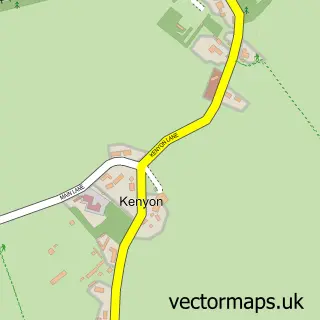
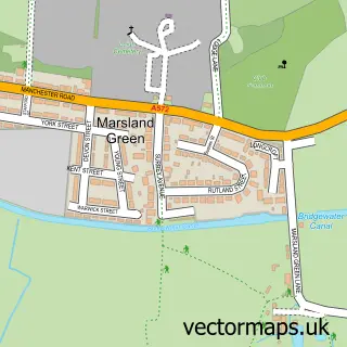
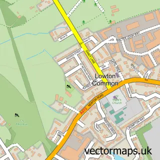
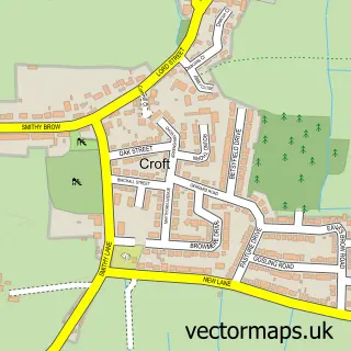
Nearby street map samples around Fowley Common

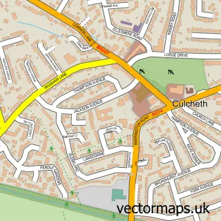
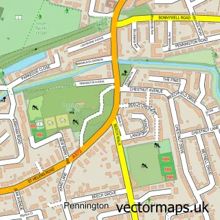
More street maps in Cheshire
750 metre map area coverage
Boundary, postcode and point of interest information for the 750m x 750m rectangle centred on this sample map.
Boundaries containing map centre
Constituency: Warrington North Co Const
District: Warrington (B)
Icb: NHS Cheshire and Merseyside ICB
Parish: Culcheth and Glazebury CP
Police Force: cheshire
Postcode District: WA3
Postcode Sector: WA3 5
Ward: Culcheth, Glazebury & Croft Ward
Nearby boundaries intersecting sample
No additional intersecting boundaries found.
Postcode coverage
POI category counts
Atms: 1
Chimney Sweep: 1
Convenience Store: 1
Flowers And Gifts Shop: 1
Home Improvement Store: 1
Hvac Services: 1
Livestock Breeder: 1
Pub: 1
Retail: 1
Topic Concert Venue: 1
Sample points of interest
- PayPoint
- Rothwells Woodburning Stoves
- The Moorland
- Petals and Posies (Angela Carnochan)
- I pennington plumbing
- PCG Gas Care
- Cheshire Christmas Trees
- The Raven Inn
- Pringle Media
- Glaze-n-bury Music Festival
Create a larger editable map of Fowley Common
This sample shows only a 750 metre area. To create a larger map of Fowley Common, use our map builder to choose your own coverage area, add titles and download editable SVG, PDF and PNG files.
Create a custom map of Fowley Common