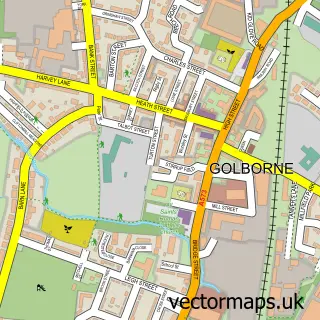
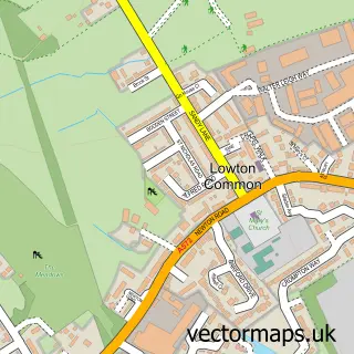
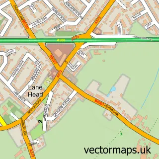
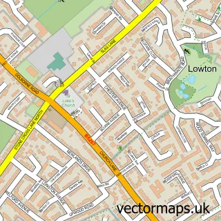
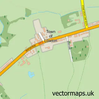
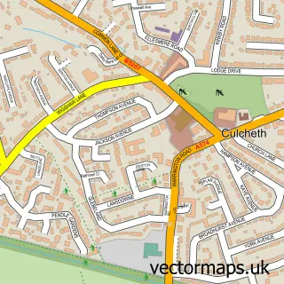
This Lowton St Mary's street map is a detailed vector street map covering a 750m x 750m area. Select a larger area to create and download your own vector street map of Lowton St Mary's.
The 750-metre map sample for Lowton St Mary's covers 645 mapped buildings and approximately 21.1 km of road detail, of which 54 named roads are named. The immediate area includes 2 schools, 1 GP surgery, with 7 within 2 miles, 1 pub and 6 MOT stations within 2 miles. The wider area around Lowton St Mary's features 1 tourism point of interest and 3 food and drink venues. To create a larger or custom map of Lowton St Mary's, the map builder lets you define your own coverage area and download editable SVG, PDF and PNG files.
Create a larger editable map of Lowton St Mary's
Choose any area you need and generate a high-quality vector map instantly. Perfect for print, planning, design, business and personal use.

This Lowton St Mary's street map in Greater Manchester is available as downloadable SVG, PDF and PNG map files, or as a printed map for planning, business, display, education, local information and design work. You can also create a larger custom map area using the map selector.
What this Lowton St Mary's map sample shows
Lowton St Mary's lies within Wigan District (B) parish, part of Lowton East ward in the Wigan District (B) local authority area. The postcode geography for this area includes the WA postcode area, the WA3 postcode district and the WA3 2 postcode sector. Residents fall under the Nhs Greater Manchester Integrated Care Board for NHS services.
Local features near Lowton St Mary's
Within 2 milesAmenities and services in and around Lowton St Mary's.
Administrative and postcode information for Lowton St Mary's
The local authority covering Lowton St Mary's is Wigan District (B), within the county of Greater Manchester. The settlement lies within Lowton East ward and Wigan District (B) civil parish. The WA3 postcode district and WA3 2 postcode sector serve the immediate area. NHS provision in the area is delivered through Wrightington, Wigan And Leigh Nhs Foundation Trust.
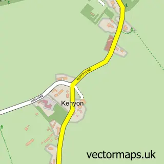
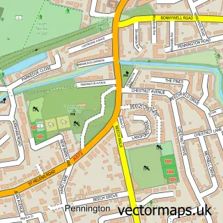
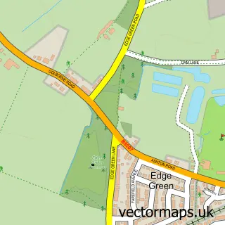
Nearby street map samples around Lowton St Mary's

More street maps in Greater Manchester
750 metre map area coverage
Boundary, postcode and point of interest information for the 750m x 750m rectangle centred on this sample map.
Boundaries containing map centre
Constituency: Leigh and Atherton Boro Const
District: Wigan District (B)
Icb: NHS Greater Manchester ICB
Police Force: greater manchester
Postcode District: WA3
Postcode Sector: WA3 2
Ward: Lowton East Ward
Nearby boundaries intersecting sample
Postcode Sector: WA3 1
Postcode coverage
POI category counts
Elementary School: 4
Beauty Salon: 3
Building Supply Store: 3
Convenience Store: 3
Pet Store: 3
Charity Organization: 2
Doctor: 2
Martial Arts Club: 2
Professional Services: 2
Spas: 2
Sample points of interest
- Total Instore
- East Leigh A.F.C
- GT Cooker Repairs
- Forget-Me-Knot
- Warrington Truck Van LTD
- Mercury Motorcycle Training
- Maccas Barbers Shop
- Laura Elizabeth Nail Artist
- J'adore Beauty
- Hair and Beauty Hut
- Jenny’s Hair and Beauty Salon
- SJW Beauty
Create a larger editable map of Lowton St Mary's
This sample shows only a 750 metre area. To create a larger map of Lowton St Mary's, use our map builder to choose your own coverage area, add titles and download editable SVG, PDF and PNG files.
Create a custom map of Lowton St Mary's