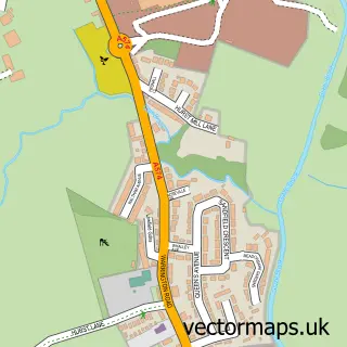
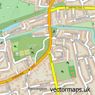
This Culcheth street map is a detailed vector street map covering a 750m x 750m area. Select a larger area to create and download your own vector street map of Culcheth.
The 750-metre map sample for Culcheth covers 612 mapped buildings and approximately 19.0 km of road detail, of which 37 named roads are named. The immediate area includes 1 school, 1 GP surgery, 2 pubs and 1 MOT station, with 5 within 2 miles. The wider area around Culcheth features 1 tourism point of interest and 12 food and drink venues. To create a larger or custom map of Culcheth, the map builder lets you define your own coverage area and download editable SVG, PDF and PNG files.
Create a larger editable map of Culcheth
Choose any area you need and generate a high-quality vector map instantly. Perfect for print, planning, design, business and personal use.

This Culcheth street map in Cheshire is available as downloadable SVG, PDF and PNG map files, or as a printed map for planning, business, display, education, local information and design work. You can also create a larger custom map area using the map selector.
What this Culcheth map sample shows
Culcheth lies within Culcheth And Glazebury Cp parish, part of Culcheth, Glazebury And Croft ward in the Warrington (B) local authority area. The postcode geography for this area includes the WA postcode area, the WA3 postcode district and the WA3 4 postcode sector. Residents fall under the Nhs Cheshire And Merseyside Integrated Care Board for NHS services.
Local features near Culcheth
Within 2 milesAmenities and services in and around Culcheth.
Administrative and postcode information for Culcheth
Culcheth lies within Culcheth And Glazebury Cp parish, part of Culcheth, Glazebury And Croft ward in the Warrington (B) local authority area. The postcode geography for this area includes the WA postcode area, the WA3 postcode district and the WA3 4 postcode sector. Residents fall under the Nhs Cheshire And Merseyside Integrated Care Board for NHS services.
Nearby street map samples around Culcheth
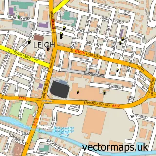

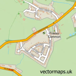
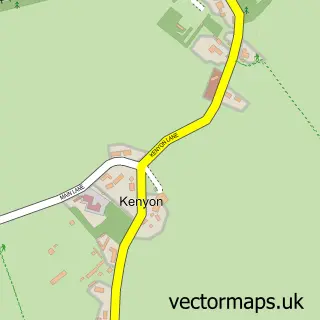
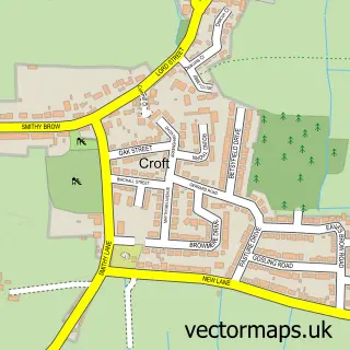
More street maps in Cheshire
750 metre map area coverage
Boundary, postcode and point of interest information for the 750m x 750m rectangle centred on this sample map.
Boundaries containing map centre
Constituency: Warrington North Co Const
District: Warrington (B)
Icb: NHS Cheshire and Merseyside ICB
Parish: Culcheth and Glazebury CP
Police Force: cheshire
Postcode District: WA3
Postcode Sector: WA3 4
Ward: Culcheth, Glazebury & Croft Ward
Nearby boundaries intersecting sample
Parish: Croft CP
Postcode Sector: WA3 5
Postcode coverage
POI category counts
Pet Groomer: 6
Barber: 5
Indian Restaurant: 5
Restaurant: 5
Beauty Salon: 4
Church Cathedral: 4
Flowers And Gifts Shop: 4
Gift Shop: 4
Hair Salon: 4
Jewelry Store: 4
Sample points of interest
- Carter Clear Accounting Ltd.
- Hunter Healey
- Culcheth Natural Therapy
- Mountaineerin Ltd
- Vintage Cat
- Pls (Cheshire) Limited
- ann Summers Party Organiser
- كولتشث
- CLS Care Services Group
- Culcheth Car Spares
- Greenhalgh's
- Waterfields
Create a larger editable map of Culcheth
This sample shows only a 750 metre area. To create a larger map of Culcheth, use our map builder to choose your own coverage area, add titles and download editable SVG, PDF and PNG files.
Create a custom map of Culcheth