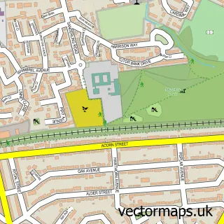
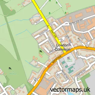
This Croft street map is a detailed vector street map covering a 750m x 750m area. Select a larger area to create and download your own vector street map of Croft.
The 750-metre map sample for Croft covers 304 mapped buildings and approximately 11.1 km of road detail, of which 22 named roads are named. The immediate area includes 3 GP surgeries within 2 miles, 2 pubs and 4 MOT stations within 2 miles. The wider area around Croft features 1 tourism point of interest and 2 food and drink venues. To create a larger or custom map of Croft, the map builder lets you define your own coverage area and download editable SVG, PDF and PNG files.
Create a larger editable map of Croft
Choose any area you need and generate a high-quality vector map instantly. Perfect for print, planning, design, business and personal use.

This Croft street map in Cheshire is available as downloadable SVG, PDF and PNG map files, or as a printed map for planning, business, display, education, local information and design work. You can also create a larger custom map area using the map selector.
What this Croft map sample shows
Croft lies within Croft Cp parish, part of Culcheth, Glazebury And Croft ward in the Warrington (B) local authority area. The postcode geography for this area includes the WA postcode area, the WA3 postcode district and the WA3 7 postcode sector. Residents fall under the Nhs Cheshire And Merseyside Integrated Care Board for NHS services.
Local features near Croft
Within 2 milesAmenities and services in and around Croft.
Administrative and postcode information for Croft
Croft lies within Croft Cp parish, part of Culcheth, Glazebury And Croft ward in the Warrington (B) local authority area. The postcode geography for this area includes the WA postcode area, the WA3 postcode district and the WA3 7 postcode sector. Residents fall under the Nhs Cheshire And Merseyside Integrated Care Board for NHS services.
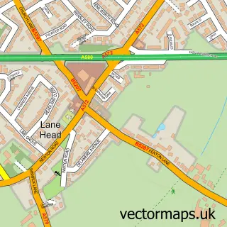
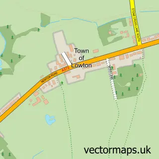
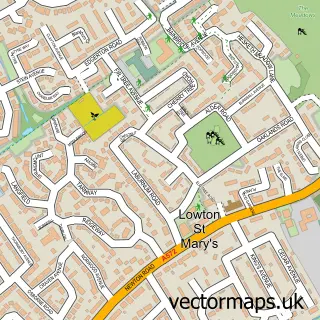
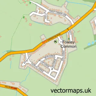
Nearby street map samples around Croft

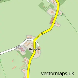
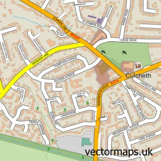
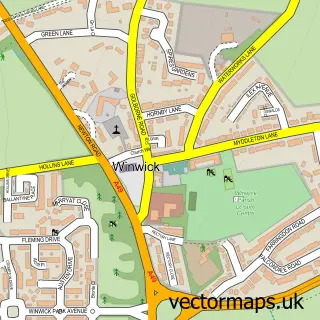
More street maps in Cheshire
750 metre map area coverage
Boundary, postcode and point of interest information for the 750m x 750m rectangle centred on this sample map.
Boundaries containing map centre
Constituency: Warrington North Co Const
District: Warrington (B)
Icb: NHS Cheshire and Merseyside ICB
Parish: Croft CP
Police Force: cheshire
Postcode District: WA3
Postcode Sector: WA3 7
Ward: Culcheth, Glazebury & Croft Ward
Nearby boundaries intersecting sample
No additional intersecting boundaries found.
Postcode coverage
POI category counts
Gastropub: 2
Pub: 2
Advertising Agency: 1
Bar: 1
Building Supply Store: 1
Carpenter: 1
Church Cathedral: 1
Dance Club: 1
Driving School: 1
Electrical Supply Store: 1
Sample points of interest
- Minds Eye Presentations
- The Horse Shoe Inn Croft
- Urban Facility Maintenance
- Deacon Construction
- Olive Branch Community Church
- Clubbercise Croft with Karen
- Tom Grainger S O M
- Cablejog Ltd.
- Cheshire Dove Releases
- Blooms by Sarah
- Cheshire Lawn Doctor
- General Elliot
Create a larger editable map of Croft
This sample shows only a 750 metre area. To create a larger map of Croft, use our map builder to choose your own coverage area, add titles and download editable SVG, PDF and PNG files.
Create a custom map of Croft