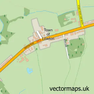
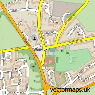
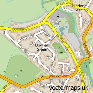
This Newton-le-Willows street map is a detailed vector street map covering a 750m x 750m area. Select a larger area to create and download your own vector street map of Newton-le-Willows.
The 750-metre map sample for Newton-le-Willows covers 550 mapped buildings and approximately 16.9 km of road detail, of which 43 named roads are named. The immediate area includes 1 school, 4 GP surgeries within 2 miles and 10 MOT stations within 2 miles. To create a larger or custom map of Newton-le-Willows, the map builder lets you define your own coverage area and download editable SVG, PDF and PNG files.
Create a larger editable map of Newton-le-Willows
Choose any area you need and generate a high-quality vector map instantly. Perfect for print, planning, design, business and personal use.

This Newton-le-Willows street map in Merseyside is available as downloadable SVG, PDF and PNG map files, or as a printed map for planning, business, display, education, local information and design work. You can also create a larger custom map area using the map selector.
What this Newton-le-Willows map sample shows
Newton-le-Willows lies within St. Helens District (B) parish, part of Newton ward in the St. Helens District (B) local authority area. The postcode geography for this area includes the WA postcode area, the WA12 postcode district and the WA12 0 postcode sector. Residents fall under the Nhs Cheshire And Merseyside Integrated Care Board for NHS services.
Local features near Newton-le-Willows
Within 2 milesAmenities and services in and around Newton-le-Willows.
Administrative and postcode information for Newton-le-Willows
Newton-le-Willows lies within St. Helens District (B) parish, part of Newton ward in the St. Helens District (B) local authority area. The postcode geography for this area includes the WA postcode area, the WA12 postcode district and the WA12 0 postcode sector. Residents fall under the Nhs Cheshire And Merseyside Integrated Care Board for NHS services.
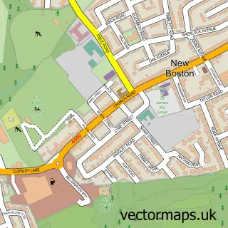
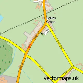
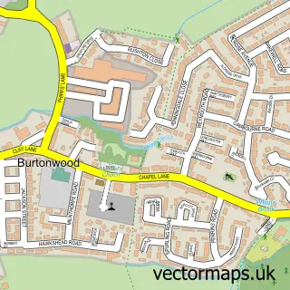
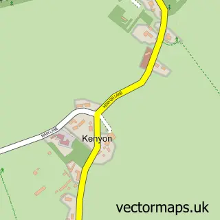
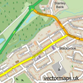
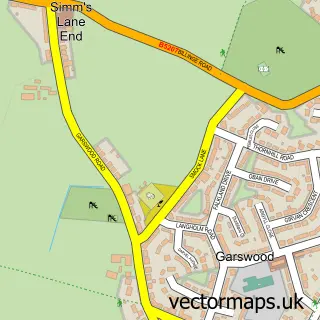
Nearby street map samples around Newton-le-Willows

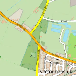
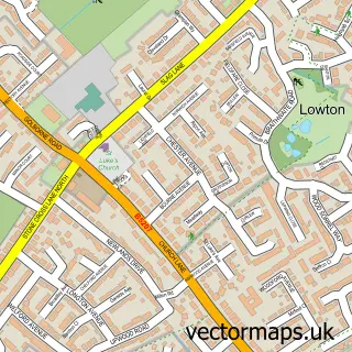
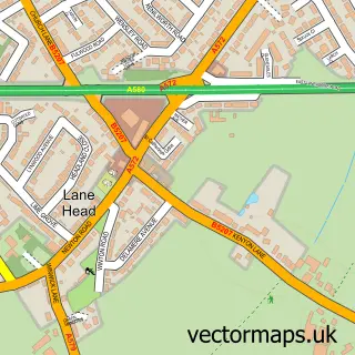
More street maps in Merseyside
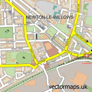
750 metre map area coverage
Boundary, postcode and point of interest information for the 750m x 750m rectangle centred on this sample map.
Boundaries containing map centre
Constituency: St. Helens North Co Const
District: St. Helens District (B)
Icb: NHS Cheshire and Merseyside ICB
Police Force: merseyside
Postcode District: WA12
Postcode Sector: WA12 9
Ward: Newton-le-Willows East Ward
Nearby boundaries intersecting sample
Postcode Sector: WA12 8
Ward: Newton-le-Willows West Ward
Postcode coverage
POI category counts
Automotive Repair: 2
Education: 2
Elementary School: 2
Web Designer: 2
Active Life: 1
Bar: 1
Barber: 1
Beauty And Spa: 1
Business Consulting: 1
Carpenter: 1
Sample points of interest
- Earlestown Athletic, The HIVE
- Camtech Motors
- Glover Street Garage
- The Drinks Magician
- Pro-Barber Shop
- Magic hands holistic and beauty therapy
- Business Doctors
- Custom House Cabinetry
- Little Acorns Nursery & Creche
- St Aelreds Catholic Technology College
- Wargrave Big Local
- L M Builders
Create a larger editable map of Newton-le-Willows
This sample shows only a 750 metre area. To create a larger map of Newton-le-Willows, use our map builder to choose your own coverage area, add titles and download editable SVG, PDF and PNG files.
Create a custom map of Newton-le-Willows