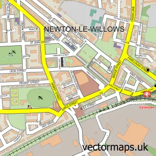
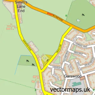
This Collins Green street map is a detailed vector street map covering a 750m x 750m area. Select a larger area to create and download your own vector street map of Collins Green.
The 750-metre map sample for Collins Green covers 63 mapped buildings and approximately 7.0 km of road detail, of which 8 named roads are named. The immediate area includes 6 GP surgeries within 2 miles, 1 pub and 9 MOT stations within 2 miles. The wider area around Collins Green features 1 food and drink venue. To create a larger or custom map of Collins Green, the map builder lets you define your own coverage area and download editable SVG, PDF and PNG files.
Create a larger editable map of Collins Green
Choose any area you need and generate a high-quality vector map instantly. Perfect for print, planning, design, business and personal use.

This Collins Green street map in Cheshire is available as downloadable SVG, PDF and PNG map files, or as a printed map for planning, business, display, education, local information and design work. You can also create a larger custom map area using the map selector.
What this Collins Green map sample shows
Collins Green lies within Burtonwood And Westbrook Cp parish, part of Burtonwood And Winwick ward in the Warrington (B) local authority area. The postcode geography for this area includes the WA postcode area, the WA5 postcode district and the WA5 4 postcode sector. Residents fall under the Nhs Cheshire And Merseyside Integrated Care Board for NHS services.
Local features near Collins Green
Within 2 milesAmenities and services in and around Collins Green.
Administrative and postcode information for Collins Green
The local authority covering Collins Green is Warrington (B), within the county of Cheshire. The settlement lies within Burtonwood And Winwick ward and Burtonwood And Westbrook Cp civil parish. The WA5 postcode district and WA5 4 postcode sector serve the immediate area. NHS provision in the area is delivered through Warrington And Halton Teaching Hospitals Nhs Foundation Trust.
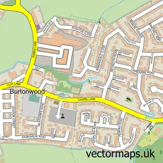
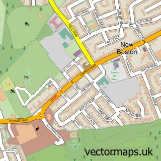
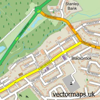
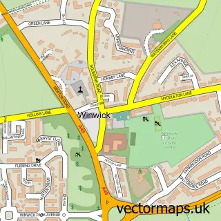
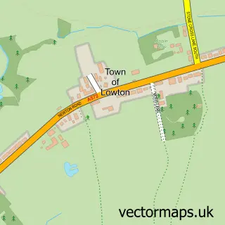
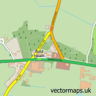
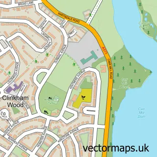
Nearby street map samples around Collins Green

More street maps in Cheshire
750 metre map area coverage
Boundary, postcode and point of interest information for the 750m x 750m rectangle centred on this sample map.
Boundaries containing map centre
Constituency: Warrington North Co Const
District: Warrington (B)
Icb: NHS Cheshire and Merseyside ICB
Parish: Burtonwood and Westbrook CP
Police Force: cheshire
Postcode District: WA5
Postcode Sector: WA5 4
Ward: Burtonwood & Winwick Ward
Nearby boundaries intersecting sample
Constituency: St. Helens South and Whiston Boro Const
District: St. Helens District (B)
Parish: Bold CP
Police Force: merseyside
Postcode District: WA9
Postcode Sector: WA9 4
Ward: Bold & Lea Green Ward
Postcode coverage
POI category counts
Retirement Home: 2
Equestrian Facility: 1
Nursing School: 1
Pub: 1
Train Station: 1
Sample points of interest
- Higher Farm Livery Centre
- St. Mary'S Nursing Home
- The Pear Tree Inn
- Rosevilla Residential Home
- St Mary's Care Centre
- Collins Green railway station
Create a larger editable map of Collins Green
This sample shows only a 750 metre area. To create a larger map of Collins Green, use our map builder to choose your own coverage area, add titles and download editable SVG, PDF and PNG files.
Create a custom map of Collins Green