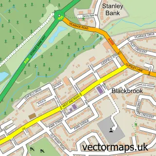
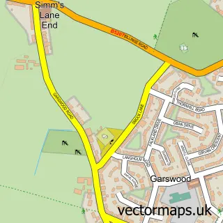
This Earlestown street map is a detailed vector street map covering a 750m x 750m area. Select a larger area to create and download your own vector street map of Earlestown.
The 750-metre map sample for Earlestown covers 317 mapped buildings and approximately 21.2 km of road detail, of which 55 named roads are named. The immediate area includes 1 school, 1 railway station, 1 GP surgery, with 4 within 2 miles and 5 pubs among other local services. The wider area around Earlestown features 1 tourism point of interest and 15 food and drink venues. To create a larger or custom map of Earlestown, the map builder lets you define your own coverage area and download editable SVG, PDF and PNG files.
Create a larger editable map of Earlestown
Choose any area you need and generate a high-quality vector map instantly. Perfect for print, planning, design, business and personal use.

This Earlestown street map in Merseyside is available as downloadable SVG, PDF and PNG map files, or as a printed map for planning, business, display, education, local information and design work. You can also create a larger custom map area using the map selector.
What this Earlestown map sample shows
Earlestown lies within St. Helens District (B) parish, part of Earlestown ward in the St. Helens District (B) local authority area. The postcode geography for this area includes the WA postcode area, the WA12 postcode district and the WA12 9 postcode sector. Residents fall under the Nhs Cheshire And Merseyside Integrated Care Board for NHS services.
Local features near Earlestown
Within 2 milesAmenities and services in and around Earlestown.
Administrative and postcode information for Earlestown
The local authority covering Earlestown is St. Helens District (B), within the county of Merseyside. The settlement lies within Earlestown ward and St. Helens District (B) civil parish. The WA12 postcode district and WA12 9 postcode sector serve the immediate area. NHS provision in the area is delivered through Mersey And West Lancashire Teaching Hospitals Nhs Trust.
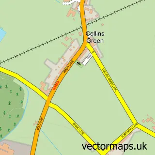
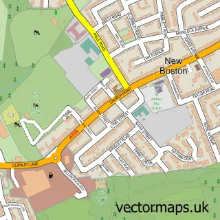
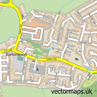
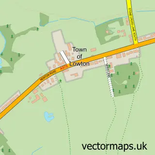
Nearby street map samples around Earlestown

More street maps in Merseyside
750 metre map area coverage
Boundary, postcode and point of interest information for the 750m x 750m rectangle centred on this sample map.
Boundaries containing map centre
Constituency: St. Helens North Co Const
District: St. Helens District (B)
Icb: NHS Cheshire and Merseyside ICB
Police Force: merseyside
Postcode District: WA12
Postcode Sector: WA12 9
Ward: Newton-le-Willows West Ward
Nearby boundaries intersecting sample
Postcode Sector: WA12 8
Postcode coverage
POI category counts
Beauty Salon: 15
Fast Food Restaurant: 8
Hair Salon: 8
Barber: 7
Indian Restaurant: 6
Automotive Repair: 5
Banks: 5
Pub: 5
Church Cathedral: 4
Clothing Store: 4
Sample points of interest
- A&B Accounts Services Ltd
- Ramp Riders Mobile Skate Park
- British Red Cross
- Jan's D I Y
- 5 star hand car wash
- Mortgage Matters
- Battersby Upholstery
- Whiston Motor Factors
- C J Gold
- Daves Tyres
- Gallagher Autos
- W9 Cars
Create a larger editable map of Earlestown
This sample shows only a 750 metre area. To create a larger map of Earlestown, use our map builder to choose your own coverage area, add titles and download editable SVG, PDF and PNG files.
Create a custom map of Earlestown