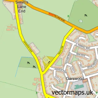
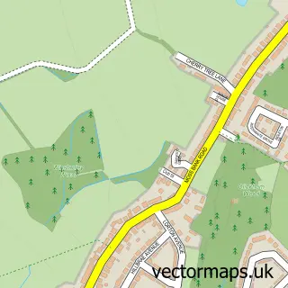
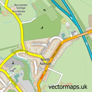
This Blackbrook street map is a detailed vector street map covering a 750m x 750m area. Select a larger area to create and download your own vector street map of Blackbrook.
The 750-metre map sample for Blackbrook covers 361 mapped buildings and approximately 17.5 km of road detail, of which 38 named roads are named. The immediate area includes 5 GP surgeries within 2 miles, 1 pub and 1 MOT station, with 16 within 2 miles. The wider area around Blackbrook features 2 food and drink venues. To create a larger or custom map of Blackbrook, the map builder lets you define your own coverage area and download editable SVG, PDF and PNG files.
Create a larger editable map of Blackbrook
Choose any area you need and generate a high-quality vector map instantly. Perfect for print, planning, design, business and personal use.

This Blackbrook street map in Merseyside is available as downloadable SVG, PDF and PNG map files, or as a printed map for planning, business, display, education, local information and design work. You can also create a larger custom map area using the map selector.
What this Blackbrook map sample shows
Blackbrook lies within St. Helens District (B) parish, part of Haydock ward in the St. Helens District (B) local authority area. The postcode geography for this area includes the WA postcode area, the WA11 postcode district and the WA11 0 postcode sector. Residents fall under the Nhs Cheshire And Merseyside Integrated Care Board for NHS services.
Local features near Blackbrook
Within 2 milesAmenities and services in and around Blackbrook.
Administrative and postcode information for Blackbrook
The local authority covering Blackbrook is St. Helens District (B), within the county of Merseyside. The settlement lies within Haydock ward and St. Helens District (B) civil parish. The WA11 postcode district and WA11 0 postcode sector serve the immediate area. NHS provision in the area is delivered through Mersey And West Lancashire Teaching Hospitals Nhs Trust.
Nearby street map samples around Blackbrook

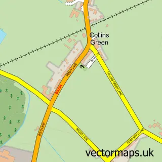
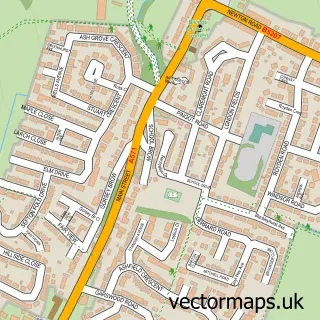
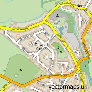
More street maps in Merseyside
750 metre map area coverage
Boundary, postcode and point of interest information for the 750m x 750m rectangle centred on this sample map.
Boundaries containing map centre
Constituency: St. Helens North Co Const
District: St. Helens District (B)
Icb: NHS Cheshire and Merseyside ICB
Police Force: merseyside
Postcode District: WA11
Postcode Sector: WA11 0
Ward: Blackbrook Ward
Nearby boundaries intersecting sample
Ward: Haydock Ward
Postcode coverage
POI category counts
Beauty Salon: 4
Convenience Store: 4
Beauty And Spa: 3
Church Cathedral: 3
Anglican Church: 2
Atms: 2
Doctor: 2
Food Delivery Service: 2
Korean Grocery Store: 2
Professional Services: 2
Sample points of interest
- The Cunningham Residence
- Omni Therapy Rooms
- St Mark's Church Haydock
- St Marks Haydock
- Valley Brass Band
- ATM (Post Office)
- Atm
- G&E Car Breakers
- Bcs Power Valve
- B.C.S. Automotive Ltd. (Powervalve)
- Auto Safety Centre
- At Gems
Create a larger editable map of Blackbrook
This sample shows only a 750 metre area. To create a larger map of Blackbrook, use our map builder to choose your own coverage area, add titles and download editable SVG, PDF and PNG files.
Create a custom map of Blackbrook