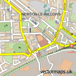
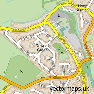
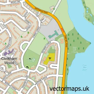
This Haydock street map is a detailed vector street map covering a 750m x 750m area. Select a larger area to create and download your own vector street map of Haydock.
The 750-metre map sample for Haydock covers 360 mapped buildings and approximately 14.9 km of road detail, of which 38 named roads are named. The immediate area includes 2 schools, 1 GP surgery, with 6 within 2 miles, 1 pub and 15 MOT stations within 2 miles. The wider area around Haydock features 2 tourism points of interest, 9 food and drink venues and 1 hotel. To create a larger or custom map of Haydock, the map builder lets you define your own coverage area and download editable SVG, PDF and PNG files.
Create a larger editable map of Haydock
Choose any area you need and generate a high-quality vector map instantly. Perfect for print, planning, design, business and personal use.

This Haydock street map in Merseyside is available as downloadable SVG, PDF and PNG map files, or as a printed map for planning, business, display, education, local information and design work. You can also create a larger custom map area using the map selector.
What this Haydock map sample shows
Haydock lies within St. Helens District (B) parish, part of Haydock ward in the St. Helens District (B) local authority area. The postcode geography for this area includes the WA postcode area, the WA11 postcode district and the WA11 0 postcode sector. Residents fall under the Nhs Cheshire And Merseyside Integrated Care Board for NHS services.
Local features near Haydock
Within 2 milesAmenities and services in and around Haydock.
Administrative and postcode information for Haydock
Haydock lies within St. Helens District (B) parish, part of Haydock ward in the St. Helens District (B) local authority area. The postcode geography for this area includes the WA postcode area, the WA11 postcode district and the WA11 0 postcode sector. Residents fall under the Nhs Cheshire And Merseyside Integrated Care Board for NHS services.
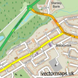
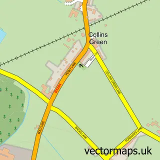
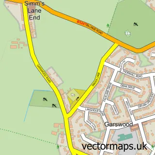
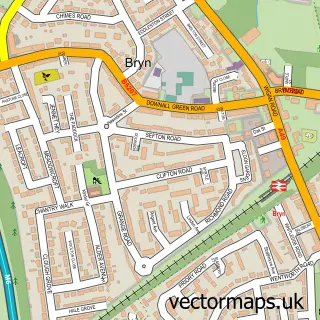
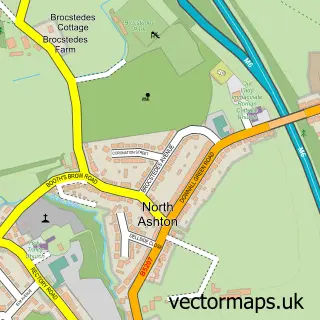
Nearby street map samples around Haydock

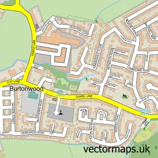
More street maps in Merseyside
750 metre map area coverage
Boundary, postcode and point of interest information for the 750m x 750m rectangle centred on this sample map.
Boundaries containing map centre
Constituency: St. Helens North Co Const
District: St. Helens District (B)
Icb: NHS Cheshire and Merseyside ICB
Police Force: merseyside
Postcode District: WA11
Postcode Sector: WA11 0
Ward: Haydock Ward
Nearby boundaries intersecting sample
Postcode District: WA12
Postcode Sector: WA12 0
Postcode coverage
POI category counts
Coffee Shop: 4
Beauty Salon: 3
Gas Station: 3
Indian Restaurant: 3
Passport And Visa Services: 3
Restaurant: 3
Automotive Repair: 2
Betting Center: 2
Church Cathedral: 2
E Cigarette Store: 2
Sample points of interest
- Valet Centre North West & Pro Cleaning
- DnD Locking Wheel Nut Removal
- Zi's Garage
- GB Roller Shutters
- Galloways Bakers
- Allan barbers
- Shimmerz hair and beauty lounge
- AC Beauty Haydock
- Diamond hair extensions
- Tranquility
- Betfred
- Betfred
Create a larger editable map of Haydock
This sample shows only a 750 metre area. To create a larger map of Haydock, use our map builder to choose your own coverage area, add titles and download editable SVG, PDF and PNG files.
Create a custom map of Haydock