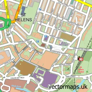
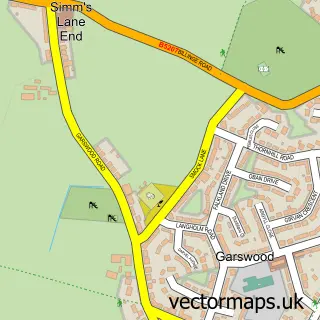
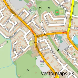
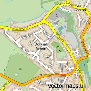
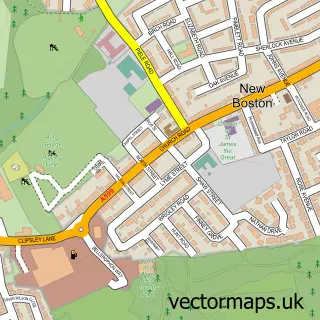
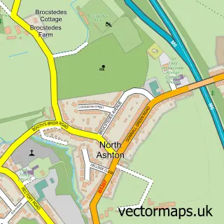
This Moss Bank street map is a detailed vector street map covering a 750m x 750m area. Select a larger area to create and download your own vector street map of Moss Bank.
The 750-metre map sample for Moss Bank covers 188 mapped buildings and approximately 7.6 km of road detail, of which 13 named roads are named. The immediate area includes 11 GP surgeries within 2 miles and 17 MOT stations within 2 miles. The wider area around Moss Bank features 1 food and drink venue. To create a larger or custom map of Moss Bank, the map builder lets you define your own coverage area and download editable SVG, PDF and PNG files.
Create a larger editable map of Moss Bank
Choose any area you need and generate a high-quality vector map instantly. Perfect for print, planning, design, business and personal use.

This Moss Bank street map in Merseyside is available as downloadable SVG, PDF and PNG map files, or as a printed map for planning, business, display, education, local information and design work. You can also create a larger custom map area using the map selector.
What this Moss Bank map sample shows
Moss Bank lies within St. Helens District (B) parish, part of Moss Bank ward in the St. Helens District (B) local authority area. The postcode geography for this area includes the WA postcode area, the WA11 postcode district and the WA11 7 postcode sector. Residents fall under the Nhs Cheshire And Merseyside Integrated Care Board for NHS services.
Local features near Moss Bank
Within 2 milesAmenities and services in and around Moss Bank.
Administrative and postcode information for Moss Bank
The local authority covering Moss Bank is St. Helens District (B), within the county of Merseyside. The settlement lies within Moss Bank ward and St. Helens District (B) civil parish. The WA11 postcode district and WA11 7 postcode sector serve the immediate area. NHS provision in the area is delivered through Mersey And West Lancashire Teaching Hospitals Nhs Trust.
Nearby street map samples around Moss Bank

More street maps in Merseyside
750 metre map area coverage
Boundary, postcode and point of interest information for the 750m x 750m rectangle centred on this sample map.
Boundaries containing map centre
Constituency: St. Helens North Co Const
District: St. Helens District (B)
Icb: NHS Cheshire and Merseyside ICB
Police Force: merseyside
Postcode District: WA11
Postcode Sector: WA11 7
Ward: Moss Bank Ward
Nearby boundaries intersecting sample
No additional intersecting boundaries found.
Postcode coverage
POI category counts
Magician: 2
Anglican Church: 1
Bar: 1
Corporate Entertainment Services: 1
Driving School: 1
Fabric Store: 1
Interior Design: 1
Painting: 1
Pet Groomer: 1
Restaurant: 1
Sample points of interest
- Riverbank Cafe Church
- The Black Horse
- Paul Storey Magic & Puppets
- Ladybirds Driving School
- Antistatic Clothing
- A J Davies
- Luke Coburn | Mind Reader & Magician
- Paul Storey Magic & Puppets
- Adam J Davies
- Happy Paws Dog Grooming Service
- Hilltop Change Management Co Ltd
- Shining stars yoga and Pilates studio
Create a larger editable map of Moss Bank
This sample shows only a 750 metre area. To create a larger map of Moss Bank, use our map builder to choose your own coverage area, add titles and download editable SVG, PDF and PNG files.
Create a custom map of Moss Bank