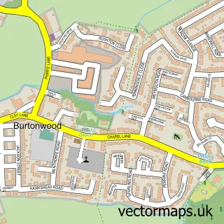
This Winwick street map is a detailed vector street map covering a 750m x 750m area. Select a larger area to create and download your own vector street map of Winwick.
The 750-metre map sample for Winwick covers 306 mapped buildings and approximately 20.6 km of road detail, of which 33 named roads are named. The immediate area includes 1 school, 3 GP surgeries within 2 miles, 3 pubs and 13 MOT stations within 2 miles. The wider area around Winwick features 1 tourism point of interest, 3 food and drink venues and 1 hotel. To create a larger or custom map of Winwick, the map builder lets you define your own coverage area and download editable SVG, PDF and PNG files.
Create a larger editable map of Winwick
Choose any area you need and generate a high-quality vector map instantly. Perfect for print, planning, design, business and personal use.

This Winwick street map in Cheshire is available as downloadable SVG, PDF and PNG map files, or as a printed map for planning, business, display, education, local information and design work. You can also create a larger custom map area using the map selector.
What this Winwick map sample shows
Winwick lies within Winwick Cp parish, part of Burtonwood And Winwick ward in the Warrington (B) local authority area. The postcode geography for this area includes the WA postcode area, the WA2 postcode district and the WA2 8 postcode sector. Residents fall under the Nhs Cheshire And Merseyside Integrated Care Board for NHS services.
Local features near Winwick
Within 2 milesAmenities and services in and around Winwick.
Administrative and postcode information for Winwick
The local authority covering Winwick is Warrington (B), within the county of Cheshire. The settlement lies within Burtonwood And Winwick ward and Winwick Cp civil parish. The WA2 postcode district and WA2 8 postcode sector serve the immediate area. NHS provision in the area is delivered through Warrington And Halton Teaching Hospitals Nhs Foundation Trust.
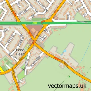
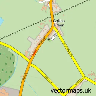
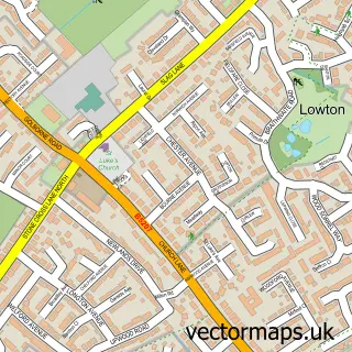
Nearby street map samples around Winwick

More street maps in Cheshire
750 metre map area coverage
Boundary, postcode and point of interest information for the 750m x 750m rectangle centred on this sample map.
Boundaries containing map centre
Constituency: Warrington North Co Const
District: Warrington (B)
Icb: NHS Cheshire and Merseyside ICB
Parish: Winwick CP
Police Force: cheshire
Postcode District: WA2
Postcode Sector: WA2 8
Ward: Burtonwood & Winwick Ward
Nearby boundaries intersecting sample
No additional intersecting boundaries found.
Postcode coverage
POI category counts
Pub: 3
Elementary School: 2
Financial Service: 2
Hair Salon: 2
Pet Groomer: 2
Assisted Living Facility: 1
Beauty And Spa: 1
Beauty Salon: 1
Business Management Services: 1
Charity Organization: 1
Sample points of interest
- St Oswalds House Care Home
- Beautyenhancement
- CNL Nails & Beauty
- Cloud Create Uk
- St Mark Universal Care
- Bargain Booze Select Convenience
- Pawsitive Impact Dog Training
- Warrington Borough Council
- National Water Hygiene Training Warrington
- Winwick C of E Primary School
- Winwick CE Primary School
- Hairslydz(Online Hair Accessories - Hair Slides
Create a larger editable map of Winwick
This sample shows only a 750 metre area. To create a larger map of Winwick, use our map builder to choose your own coverage area, add titles and download editable SVG, PDF and PNG files.
Create a custom map of Winwick