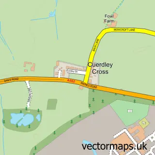
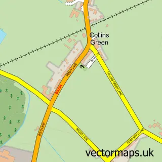
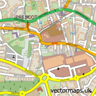
This Bold Heath street map is a detailed vector street map covering a 750m x 750m area. Select a larger area to create and download your own vector street map of Bold Heath.
The 750-metre map sample for Bold Heath covers 62 mapped buildings and approximately 9.6 km of road detail, of which 5 named roads are named. The immediate area includes 2 GP surgeries within 2 miles, 3 pubs and 4 MOT stations within 2 miles. The wider area around Bold Heath features 1 tourism point of interest and 5 food and drink venues. To create a larger or custom map of Bold Heath, the map builder lets you define your own coverage area and download editable SVG, PDF and PNG files.
Create a larger editable map of Bold Heath
Choose any area you need and generate a high-quality vector map instantly. Perfect for print, planning, design, business and personal use.

This Bold Heath street map in Merseyside is available as downloadable SVG, PDF and PNG map files, or as a printed map for planning, business, display, education, local information and design work. You can also create a larger custom map area using the map selector.
What this Bold Heath map sample shows
Bold Heath lies within Bold Cp parish, part of Bold ward in the St. Helens District (B) local authority area. The postcode geography for this area includes the WA postcode area, the WA8 postcode district and the WA8 3 postcode sector. Residents fall under the Nhs Cheshire And Merseyside Integrated Care Board for NHS services.
Local features near Bold Heath
Within 2 milesAmenities and services in and around Bold Heath.
Administrative and postcode information for Bold Heath
Bold Heath lies within Bold Cp parish, part of Bold ward in the St. Helens District (B) local authority area. The postcode geography for this area includes the WA postcode area, the WA8 postcode district and the WA8 3 postcode sector. Residents fall under the Nhs Cheshire And Merseyside Integrated Care Board for NHS services.
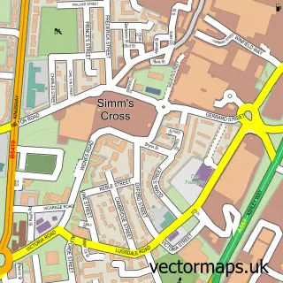
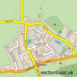
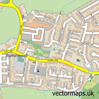
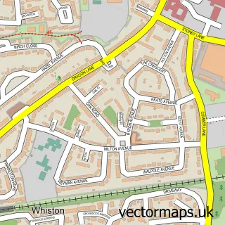
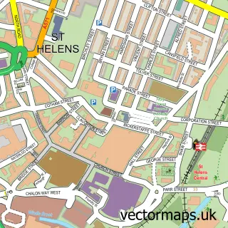
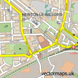
Nearby street map samples around Bold Heath

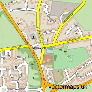
More street maps in Merseyside
750 metre map area coverage
Boundary, postcode and point of interest information for the 750m x 750m rectangle centred on this sample map.
Boundaries containing map centre
Constituency: St. Helens South and Whiston Boro Const
District: St. Helens District (B)
Icb: NHS Cheshire and Merseyside ICB
Parish: Bold CP
Police Force: merseyside
Postcode District: WA8
Postcode Sector: WA8 3
Ward: Bold & Lea Green Ward
Nearby boundaries intersecting sample
No additional intersecting boundaries found.
Postcode coverage
POI category counts
Pub: 3
Equestrian Facility: 2
Amusement Park: 1
Aquatic Pet Store: 1
Building Supply Store: 1
Cafe: 1
Chinese Restaurant: 1
Clothing Store: 1
Day Care Preschool: 1
Farmers Market: 1
Sample points of interest
- BRC
- Maidenhead Aquatics
- Hibbs Roofing & Property Maintenance
- Bold Heath Garden Centre
- Maplewood Restaurant
- Joules
- Building Blocks Day Nursery
- Bold Heath Equestrian Centre
- Bold Riding Club
- Heathfield Farm Shop
- BP
- Bold Heath Garden Centre
Create a larger editable map of Bold Heath
This sample shows only a 750 metre area. To create a larger map of Bold Heath, use our map builder to choose your own coverage area, add titles and download editable SVG, PDF and PNG files.
Create a custom map of Bold Heath