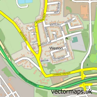
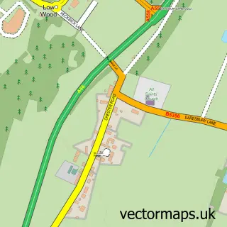
This Widnes street map is a detailed vector street map covering a 750m x 750m area. Select a larger area to create and download your own vector street map of Widnes.
The 750-metre map sample for Widnes covers 272 mapped buildings and approximately 23.4 km of road detail, of which 55 named roads are named. The immediate area includes 3 schools, 10 GP surgeries within 2 miles, 4 pubs and 2 MOT stations, with 29 within 2 miles. The wider area around Widnes features 1 tourism point of interest, 14 food and drink venues and 2 hotels. To create a larger or custom map of Widnes, the map builder lets you define your own coverage area and download editable SVG, PDF and PNG files.
Create a larger editable map of Widnes
Choose any area you need and generate a high-quality vector map instantly. Perfect for print, planning, design, business and personal use.

This Widnes street map in Cheshire is available as downloadable SVG, PDF and PNG map files, or as a printed map for planning, business, display, education, local information and design work. You can also create a larger custom map area using the map selector.
What this Widnes map sample shows
Widnes lies within Halton (B) parish, part of Riverside ward in the Halton (B) local authority area. The postcode geography for this area includes the WA postcode area, the WA8 postcode district and the WA8 0 postcode sector. Residents fall under the Nhs Cheshire And Merseyside Integrated Care Board for NHS services.
Local features near Widnes
Within 2 milesAmenities and services in and around Widnes.
Administrative and postcode information for Widnes
The local authority covering Widnes is Halton (B), within the county of Cheshire. The settlement lies within Riverside ward and Halton (B) civil parish. The WA8 postcode district and WA8 0 postcode sector serve the immediate area. NHS provision in the area is delivered through Mersey And West Lancashire Teaching Hospitals Nhs Trust.
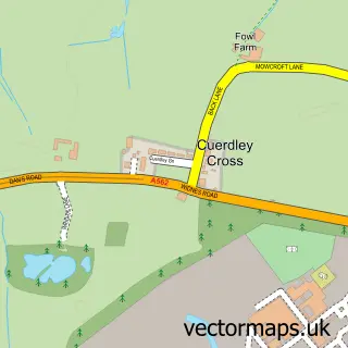
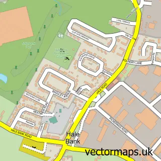
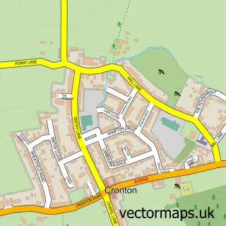
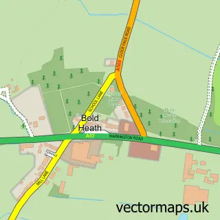
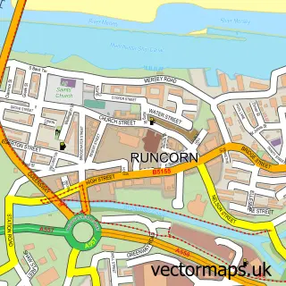
Nearby street map samples around Widnes

More street maps in Cheshire
750 metre map area coverage
Boundary, postcode and point of interest information for the 750m x 750m rectangle centred on this sample map.
Boundaries containing map centre
Constituency: Widnes and Halewood Co Const
District: Halton (B)
Icb: NHS Cheshire and Merseyside ICB
Police Force: cheshire
Postcode District: WA8
Postcode Sector: WA8 6
Ward: Central & West Bank Ward
Nearby boundaries intersecting sample
Postcode Sector: WA8 0, WA8 7
Ward: Appleton Ward
Postcode coverage
POI category counts
Clothing Store: 14
Beauty Salon: 12
Mobile Phone Store: 9
Fast Food Restaurant: 8
Currency Exchange: 7
Gym: 7
Charity Organization: 6
Church Cathedral: 6
Discount Store: 6
Hair Salon: 6
Sample points of interest
- Holland & Co.
- Point Accounting Ltd
- Tax Driven Accountants
- TaxAssist Accountants
- Pole Kat Fitness
- Halcyon Acupuncture
- Hannah Ashton Clinic
- St Paul's
- Transform Widnes St Paul's Church
- Cancer Research UK
- The Geeks Garage
- Crazy Club Widnes
Create a larger editable map of Widnes
This sample shows only a 750 metre area. To create a larger map of Widnes, use our map builder to choose your own coverage area, add titles and download editable SVG, PDF and PNG files.
Create a custom map of Widnes