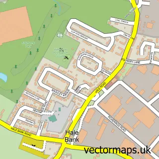
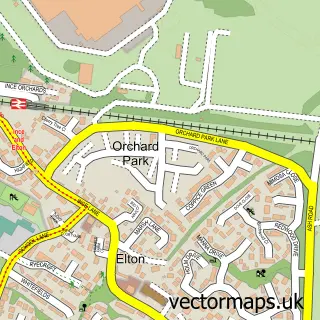
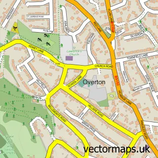
This Hale street map is a detailed vector street map covering a 750m x 750m area. Select a larger area to create and download your own vector street map of Hale.
The 750-metre map sample for Hale covers 334 mapped buildings and approximately 14.2 km of road detail, of which 30 named roads are named. The immediate area includes 1 school, 5 GP surgeries within 2 miles, 1 pub and 5 MOT stations within 2 miles. The wider area around Hale features 2 tourism points of interest, 1 food and drink venue and 2 hotels. To create a larger or custom map of Hale, the map builder lets you define your own coverage area and download editable SVG, PDF and PNG files.
Create a larger editable map of Hale
Choose any area you need and generate a high-quality vector map instantly. Perfect for print, planning, design, business and personal use.

This Hale street map in Cheshire is available as downloadable SVG, PDF and PNG map files, or as a printed map for planning, business, display, education, local information and design work. You can also create a larger custom map area using the map selector.
What this Hale map sample shows
Hale lies within Hale Cp parish, part of Hale ward in the Halton (B) local authority area. The postcode geography for this area includes the L postcode area, the L24 postcode district and the L24 4 postcode sector. Residents fall under the Nhs Cheshire And Merseyside Integrated Care Board for NHS services.
Local features near Hale
Within 2 milesAmenities and services in and around Hale.
Administrative and postcode information for Hale
Hale lies within Hale Cp parish, part of Hale ward in the Halton (B) local authority area. The postcode geography for this area includes the L postcode area, the L24 postcode district and the L24 4 postcode sector. Residents fall under the Nhs Cheshire And Merseyside Integrated Care Board for NHS services.
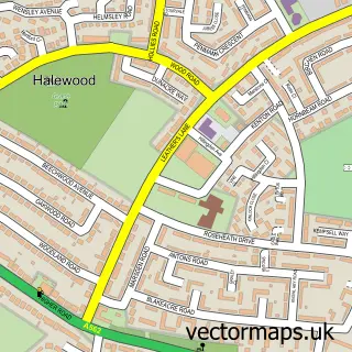
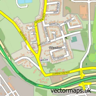
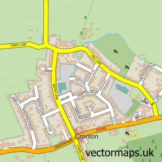
Nearby street map samples around Hale

More street maps in Cheshire
750 metre map area coverage
Boundary, postcode and point of interest information for the 750m x 750m rectangle centred on this sample map.
Boundaries containing map centre
Constituency: Widnes and Halewood Co Const
District: Halton (B)
Icb: NHS Cheshire and Merseyside ICB
Parish: Hale CP
Police Force: cheshire
Postcode District: L24
Postcode Sector: L24 4
Ward: Ditton, Hale Village & Halebank Ward
Nearby boundaries intersecting sample
Postcode Sector: L24 5
Postcode coverage
POI category counts
Bed And Breakfast: 3
Community Center: 2
Hotel: 2
Martial Arts Club: 2
Shipping Center: 2
Auto Detailing: 1
Automotive Repair: 1
Bar: 1
Beauty Salon: 1
Convenience Store: 1
Sample points of interest
- Ultimate Gloss Vehicle Detailing
- Independent Vehicle Test Audit Services
- Higsons Brewery
- Kelly Bell Hair
- Church End Farm House
- Hale Village Guest House
- The Cottage
- Hale Village Hall
- Hale youth Centre
- Londis
- Kids kitchen
- Hale C E Primary
Create a larger editable map of Hale
This sample shows only a 750 metre area. To create a larger map of Hale, use our map builder to choose your own coverage area, add titles and download editable SVG, PDF and PNG files.
Create a custom map of Hale