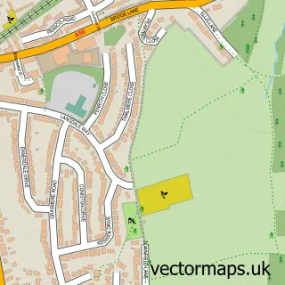
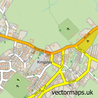
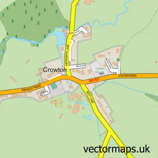
This Overton street map is a detailed vector street map covering a 750m x 750m area. Select a larger area to create and download your own vector street map of Overton.
The 750-metre map sample for Overton covers 551 mapped buildings and approximately 17.0 km of road detail, of which 39 named roads are named. The immediate area includes 1 school, 1 GP surgery within 2 miles, 3 pubs and 4 MOT stations within 2 miles. The wider area around Overton features 3 food and drink venues and 1 hotel. To create a larger or custom map of Overton, the map builder lets you define your own coverage area and download editable SVG, PDF and PNG files.
Create a larger editable map of Overton
Choose any area you need and generate a high-quality vector map instantly. Perfect for print, planning, design, business and personal use.

This Overton street map in Cheshire is available as downloadable SVG, PDF and PNG map files, or as a printed map for planning, business, display, education, local information and design work. You can also create a larger custom map area using the map selector.
What this Overton map sample shows
Overton lies within Frodsham Cp parish, part of Frodsham ward in the Cheshire West And Chester (B) local authority area. The postcode geography for this area includes the WA postcode area, the WA6 postcode district and the WA6 6 postcode sector. Residents fall under the Nhs Cheshire And Merseyside Integrated Care Board for NHS services.
Local features near Overton
Within 2 milesAmenities and services in and around Overton.
Administrative and postcode information for Overton
Overton lies within Frodsham Cp parish, part of Frodsham ward in the Cheshire West And Chester (B) local authority area. The postcode geography for this area includes the WA postcode area, the WA6 postcode district and the WA6 6 postcode sector. Residents fall under the Nhs Cheshire And Merseyside Integrated Care Board for NHS services.
Nearby street map samples around Overton

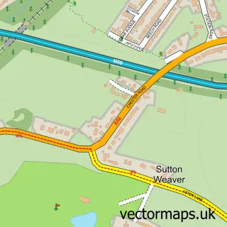
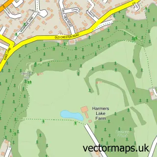
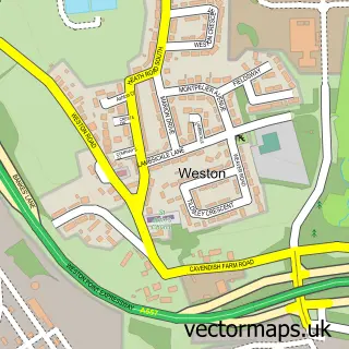
More street maps in Cheshire
750 metre map area coverage
Boundary, postcode and point of interest information for the 750m x 750m rectangle centred on this sample map.
Boundaries containing map centre
Constituency: Runcorn and Helsby Co Const
District: Cheshire West and Chester (B)
Icb: NHS Cheshire and Merseyside ICB
Parish: Frodsham CP
Police Force: cheshire
Postcode District: WA6
Postcode Sector: WA6 6
Ward: Frodsham Ward
Nearby boundaries intersecting sample
Postcode Sector: WA6 7
Postcode coverage
POI category counts
Church Cathedral: 3
Pub: 3
Advertising Agency: 1
Auto Loan Provider: 1
Beauty Salon: 1
Building Supply Store: 1
Business Consulting: 1
Cleaning Services: 1
Contractor: 1
Education: 1
Sample points of interest
- Yellow Mango
- Neal Hayes Mortgages
- Charles John
- Mikes Plumbing
- Nicholson Associates
- Church Fields
- Frodsham Methodist Church
- St Laurence Church
- Dusters Domestic Cleaning
- Brian Bate
- Stagecoach Theatre Arts
- Frodsham C of E Primary School
Create a larger editable map of Overton
This sample shows only a 750 metre area. To create a larger map of Overton, use our map builder to choose your own coverage area, add titles and download editable SVG, PDF and PNG files.
Create a custom map of Overton