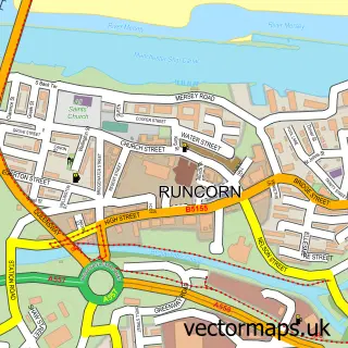
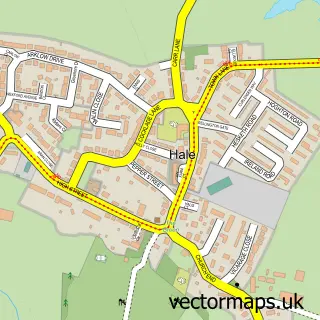
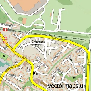
This Weston street map is a detailed vector street map covering a 750m x 750m area. Select a larger area to create and download your own vector street map of Weston.
The 750-metre map sample for Weston covers 231 mapped buildings and approximately 20.7 km of road detail, of which 19 named roads are named. The immediate area includes 1 school, 5 GP surgeries within 2 miles, 3 pubs and 1 MOT station, with 11 within 2 miles. The wider area around Weston features 1 tourism point of interest and 5 food and drink venues. To create a larger or custom map of Weston, the map builder lets you define your own coverage area and download editable SVG, PDF and PNG files.
Create a larger editable map of Weston
Choose any area you need and generate a high-quality vector map instantly. Perfect for print, planning, design, business and personal use.

This Weston street map in Cheshire is available as downloadable SVG, PDF and PNG map files, or as a printed map for planning, business, display, education, local information and design work. You can also create a larger custom map area using the map selector.
What this Weston map sample shows
Weston lies within Halton (B) parish, part of Heath ward in the Halton (B) local authority area. The postcode geography for this area includes the WA postcode area, the WA7 postcode district and the WA7 4 postcode sector. Residents fall under the Nhs Cheshire And Merseyside Integrated Care Board for NHS services.
Local features near Weston
Within 2 milesAmenities and services in and around Weston.
Administrative and postcode information for Weston
Weston lies within Halton (B) parish, part of Heath ward in the Halton (B) local authority area. The postcode geography for this area includes the WA postcode area, the WA7 postcode district and the WA7 4 postcode sector. Residents fall under the Nhs Cheshire And Merseyside Integrated Care Board for NHS services.
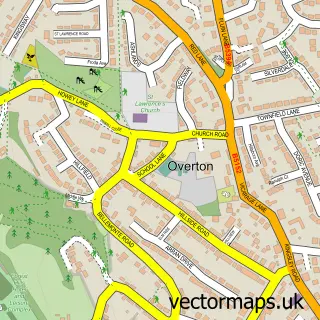
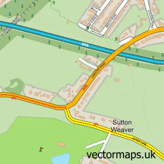
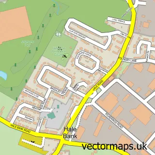
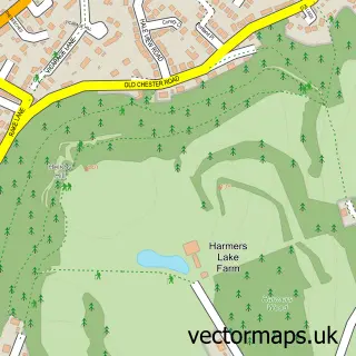
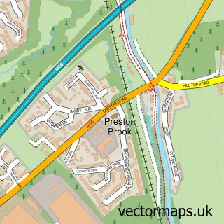
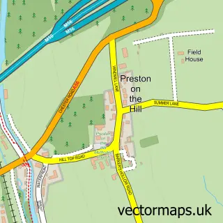
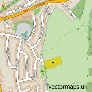
Nearby street map samples around Weston

More street maps in Cheshire
750 metre map area coverage
Boundary, postcode and point of interest information for the 750m x 750m rectangle centred on this sample map.
Boundaries containing map centre
Constituency: Runcorn and Helsby Co Const
District: Halton (B)
Icb: NHS Cheshire and Merseyside ICB
Police Force: cheshire
Postcode District: WA7
Postcode Sector: WA7 4
Ward: Mersey & Weston Ward
Nearby boundaries intersecting sample
Ward: Beechwood & Heath Ward
Postcode coverage
POI category counts
Dentist: 3
Pub: 3
Automotive Repair: 2
Church Cathedral: 2
Anglican Church: 1
Automotive Services And Repair: 1
Beauty Salon: 1
Building Supply Store: 1
Cafe: 1
Caterer: 1
Sample points of interest
- St John the Evangelist, Weston
- Grangeside Filling Station
- Weston Motorcycles
- Grangeside of Runcorn
- Emma's Nail Room
- Gasmarc
- Deadman Ink Tattoo and Brew
- Abagail Ltd. Catering
- Parish of Weston St John the Evangelist C of E Church
- St John's Church
- Deadman Ink Tattoo Cafe
- Mr D Tildsley
Create a larger editable map of Weston
This sample shows only a 750 metre area. To create a larger map of Weston, use our map builder to choose your own coverage area, add titles and download editable SVG, PDF and PNG files.
Create a custom map of Weston