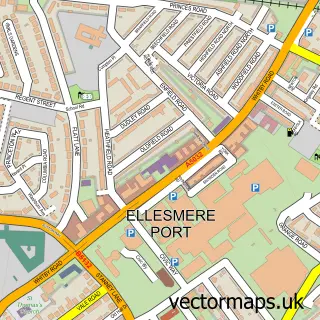
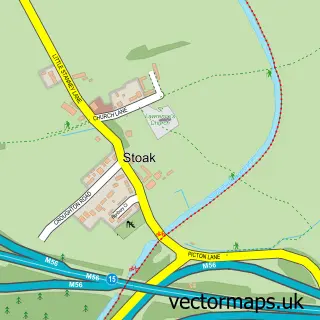
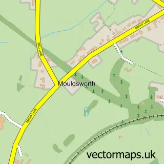
This Elton street map is a detailed vector street map covering a 750m x 750m area. Select a larger area to create and download your own vector street map of Elton.
The 750-metre map sample for Elton covers 334 mapped buildings and approximately 17.6 km of road detail, of which 29 named roads are named. The immediate area includes 1 school, 1 railway station, 1 GP surgery within 2 miles and 3 pubs among other local services. The wider area around Elton features 4 food and drink venues. To create a larger or custom map of Elton, the map builder lets you define your own coverage area and download editable SVG, PDF and PNG files.
Create a larger editable map of Elton
Choose any area you need and generate a high-quality vector map instantly. Perfect for print, planning, design, business and personal use.

This Elton street map in Cheshire is available as downloadable SVG, PDF and PNG map files, or as a printed map for planning, business, display, education, local information and design work. You can also create a larger custom map area using the map selector.
What this Elton map sample shows
Elton lies within Elton Cp parish, part of Gowy Rural ward in the Cheshire West And Chester (B) local authority area. The postcode geography for this area includes the CH postcode area, the CH2 postcode district and the CH2 4 postcode sector. Residents fall under the Nhs Cheshire And Merseyside Integrated Care Board for NHS services.
Local features near Elton
Within 2 milesAmenities and services in and around Elton.
Administrative and postcode information for Elton
Elton lies within Elton Cp parish, part of Gowy Rural ward in the Cheshire West And Chester (B) local authority area. The postcode geography for this area includes the CH postcode area, the CH2 postcode district and the CH2 4 postcode sector. Residents fall under the Nhs Cheshire And Merseyside Integrated Care Board for NHS services.
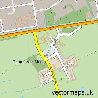
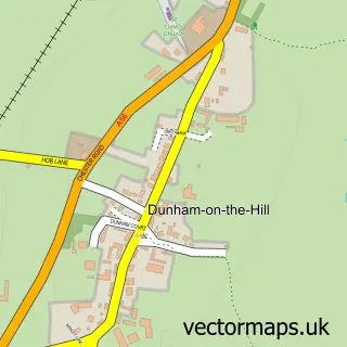
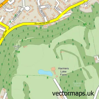
Nearby street map samples around Elton

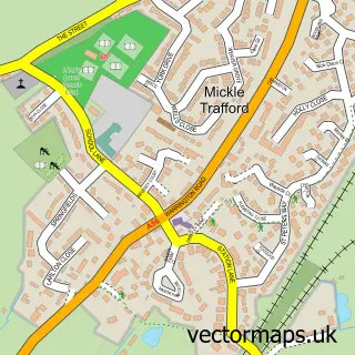
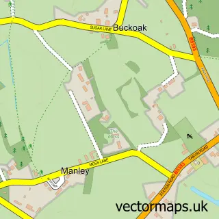
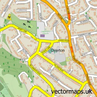
More street maps in Cheshire
750 metre map area coverage
Boundary, postcode and point of interest information for the 750m x 750m rectangle centred on this sample map.
Boundaries containing map centre
Constituency: Runcorn and Helsby Co Const
District: Cheshire West and Chester (B)
Icb: NHS Cheshire and Merseyside ICB
Parish: Elton CP
Police Force: cheshire
Postcode District: CH2
Postcode Sector: CH2 4
Ward: Gowy Rural Ward
Nearby boundaries intersecting sample
Parish: Ince CP
Postcode coverage
POI category counts
Beauty Salon: 3
Post Office: 3
Pub: 3
Barber: 2
Caterer: 2
Church Cathedral: 2
Dog Walkers: 2
Funeral Services And Cemeteries: 2
Train Station: 2
Accountant: 1
Sample points of interest
- Hamilton Duxbury
- Church Hall
- Hammer & Tongs
- BR Spar Elton (ERF), Ince Lane
- Greggs
- Ego X Hair Design for Men
- SJD gentlemans barber
- Concept Hair Kingsley Frodsham
- Daffodil Beauty
- Elegant Nails And Beauty By Caroline
- APM Healthcare
- J & C Bars & Catering
Create a larger editable map of Elton
This sample shows only a 750 metre area. To create a larger map of Elton, use our map builder to choose your own coverage area, add titles and download editable SVG, PDF and PNG files.
Create a custom map of Elton