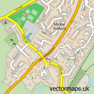
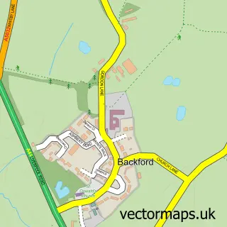
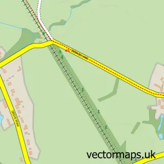
This Thornton le Moors street map is a detailed vector street map covering a 750m x 750m area. Select a larger area to create and download your own vector street map of Thornton le Moors.
The 750-metre map sample for Thornton le Moors covers 84 mapped buildings and approximately 9.5 km of road detail, of which 5 named roads are named. The immediate area includes 5 MOT stations within 2 miles. The wider area around Thornton le Moors features 1 campsite within 2 miles. To create a larger or custom map of Thornton le Moors, the map builder lets you define your own coverage area and download editable SVG, PDF and PNG files.
Create a larger editable map of Thornton le Moors
Choose any area you need and generate a high-quality vector map instantly. Perfect for print, planning, design, business and personal use.

This Thornton le Moors street map in Cheshire is available as downloadable SVG, PDF and PNG map files, or as a printed map for planning, business, display, education, local information and design work. You can also create a larger custom map area using the map selector.
What this Thornton le Moors map sample shows
Thornton le Moors lies within Thornton-Le-Moors Cp parish, part of Gowy Rural ward in the Cheshire West And Chester (B) local authority area. The postcode geography for this area includes the CH postcode area, the CH2 postcode district and the CH2 4 postcode sector. Residents fall under the Nhs Cheshire And Merseyside Integrated Care Board for NHS services.
Local features near Thornton le Moors
Within 2 milesAmenities and services in and around Thornton le Moors.
Administrative and postcode information for Thornton le Moors
The local authority covering Thornton le Moors is Cheshire West And Chester (B), within the county of Cheshire. The settlement lies within Gowy Rural ward and Thornton-Le-Moors Cp civil parish. The CH2 postcode district and CH2 4 postcode sector serve the immediate area. NHS provision in the area is delivered through Countess Of Chester Hospital Nhs Foundation Trust.
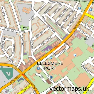
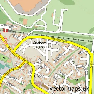
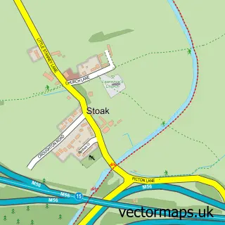
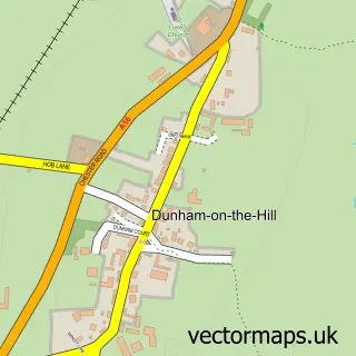
Nearby street map samples around Thornton le Moors

More street maps in Cheshire
750 metre map area coverage
Boundary, postcode and point of interest information for the 750m x 750m rectangle centred on this sample map.
Boundaries containing map centre
Constituency: Runcorn and Helsby Co Const
District: Cheshire West and Chester (B)
Icb: NHS Cheshire and Merseyside ICB
Parish: Thornton-le-Moors CP
Police Force: cheshire
Postcode District: CH2
Postcode Sector: CH2 4
Ward: Gowy Rural Ward
Nearby boundaries intersecting sample
Parish: Elton CP
Postcode coverage
POI category counts
Assisted Living Facility: 1
Bar And Grill Restaurant: 1
Beauty Product Supplier: 1
Butcher Shop: 1
Church Cathedral: 1
Cleaning Services: 1
College University: 1
Equestrian Facility: 1
Farm: 1
Legal Services: 1
Sample points of interest
- Care & Support Initiatives
- The Plough Fielding Lane Oswaldtwistle
- Perfect 10 Nails & Beauty
- Cheshire Beef Pork & Lamb
- St Mary
- Dusters Domestic Cleaning
- University of Chester STEMs
- J L Equestrian
- Hayrack Church Farm
- Law Hound
- Spread-a-Bale
- Thornton Manor
Create a larger editable map of Thornton le Moors
This sample shows only a 750 metre area. To create a larger map of Thornton le Moors, use our map builder to choose your own coverage area, add titles and download editable SVG, PDF and PNG files.
Create a custom map of Thornton le Moors