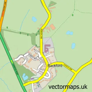
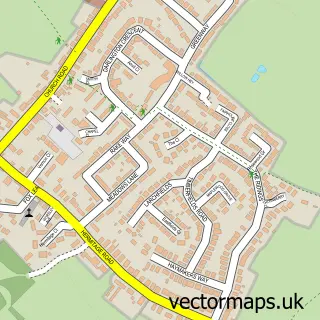
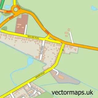
This Lea-by-Backford street map is a detailed vector street map covering a 750m x 750m area. Select a larger area to create and download your own vector street map of Lea-by-Backford.
The 750-metre map sample for Lea-by-Backford covers 38 mapped buildings and approximately 3.9 km of road detail, of which 3 named roads are named. The immediate area includes 1 GP surgery within 2 miles and 2 MOT stations within 2 miles. The wider area around Lea-by-Backford features 2 campsites within 2 miles. To create a larger or custom map of Lea-by-Backford, the map builder lets you define your own coverage area and download editable SVG, PDF and PNG files.
Create a larger editable map of Lea-by-Backford
Choose any area you need and generate a high-quality vector map instantly. Perfect for print, planning, design, business and personal use.

This Lea-by-Backford street map in Cheshire is available as downloadable SVG, PDF and PNG map files, or as a printed map for planning, business, display, education, local information and design work. You can also create a larger custom map area using the map selector.
What this Lea-by-Backford map sample shows
Lea-by-Backford lies within Mollington Cp parish, part of Saughall & Mollington ward in the Cheshire West And Chester (B) local authority area. The postcode geography for this area includes the CH postcode area, the CH1 postcode district and the CH1 6 postcode sector. Residents fall under the Nhs Cheshire And Merseyside Integrated Care Board for NHS services.
Local features near Lea-by-Backford
Within 2 milesAmenities and services in and around Lea-by-Backford.
Administrative and postcode information for Lea-by-Backford
Lea-by-Backford lies within Mollington Cp parish, part of Saughall & Mollington ward in the Cheshire West And Chester (B) local authority area. The postcode geography for this area includes the CH postcode area, the CH1 postcode district and the CH1 6 postcode sector. Residents fall under the Nhs Cheshire And Merseyside Integrated Care Board for NHS services.
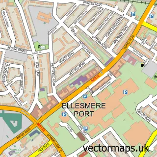
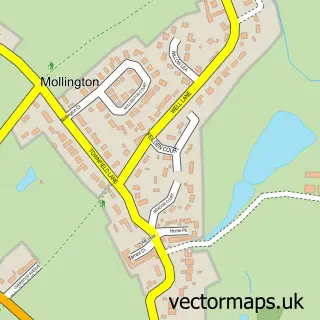
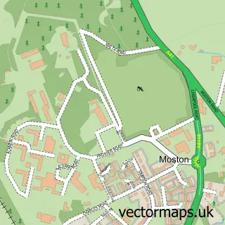
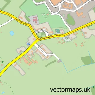
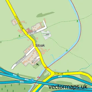
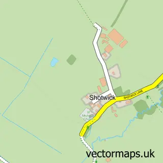
Nearby street map samples around Lea-by-Backford

More street maps in Cheshire
750 metre map area coverage
Boundary, postcode and point of interest information for the 750m x 750m rectangle centred on this sample map.
Boundaries containing map centre
Constituency: Chester North and Neston Co Const
District: Cheshire West and Chester (B)
Icb: NHS Cheshire and Merseyside ICB
Parish: Lea-by-Backford CP
Police Force: cheshire
Postcode District: CH1
Postcode Sector: CH1 6
Ward: Saughall & Mollington Ward
Nearby boundaries intersecting sample
Parish: Mollington CP
Postcode coverage
POI category counts
Elementary School: 1
Home Service: 1
Preschool: 1
Sample points of interest
- St Oswalds C E Aided Primary School
- Buddies out of school care & holiday club
- Mollington Pre-School
Create a larger editable map of Lea-by-Backford
This sample shows only a 750 metre area. To create a larger map of Lea-by-Backford, use our map builder to choose your own coverage area, add titles and download editable SVG, PDF and PNG files.
Create a custom map of Lea-by-Backford