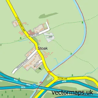
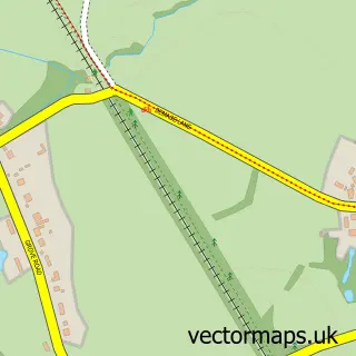
This Ellesmere Port street map is a detailed vector street map covering a 750m x 750m area. Select a larger area to create and download your own vector street map of Ellesmere Port.
The 750-metre map sample for Ellesmere Port covers 353 mapped buildings and approximately 21.6 km of road detail, of which 51 named roads are named. The immediate area includes 1 primary school and 1 secondary school, 2 GP surgeries, with 6 within 2 miles, 3 pubs and 2 MOT stations, with 27 within 2 miles. The wider area around Ellesmere Port features 1 tourism point of interest, 14 food and drink venues and 1 campsite within 2 miles. To create a larger or custom map of Ellesmere Port, the map builder lets you define your own coverage area and download editable SVG, PDF and PNG files.
Create a larger editable map of Ellesmere Port
Choose any area you need and generate a high-quality vector map instantly. Perfect for print, planning, design, business and personal use.

This Ellesmere Port street map in Cheshire is available as downloadable SVG, PDF and PNG map files, or as a printed map for planning, business, display, education, local information and design work. You can also create a larger custom map area using the map selector.
What this Ellesmere Port map sample shows
Ellesmere Port lies within Cheshire West And Chester (B) parish, part of Central & Grange ward in the Cheshire West And Chester (B) local authority area. The postcode geography for this area includes the CH postcode area, the CH65 postcode district and the CH65 6 postcode sector. Residents fall under the Nhs Cheshire And Merseyside Integrated Care Board for NHS services.
Local features near Ellesmere Port
Within 2 milesAmenities and services in and around Ellesmere Port.
Administrative and postcode information for Ellesmere Port
Ellesmere Port lies within Cheshire West And Chester (B) parish, part of Central & Grange ward in the Cheshire West And Chester (B) local authority area. The postcode geography for this area includes the CH postcode area, the CH65 postcode district and the CH65 6 postcode sector. Residents fall under the Nhs Cheshire And Merseyside Integrated Care Board for NHS services.
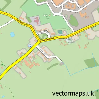
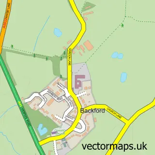
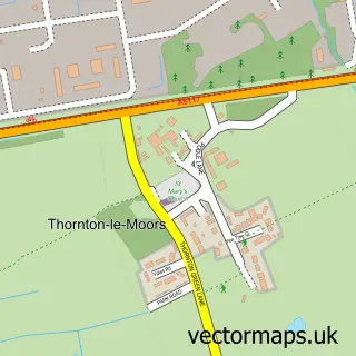
Nearby street map samples around Ellesmere Port

More street maps in Cheshire
750 metre map area coverage
Boundary, postcode and point of interest information for the 750m x 750m rectangle centred on this sample map.
Boundaries containing map centre
Constituency: Ellesmere Port and Bromborough Boro Const
District: Cheshire West and Chester (B)
Icb: NHS Cheshire and Merseyside ICB
Police Force: cheshire
Postcode District: CH65
Postcode Sector: CH65 8
Ward: Central & Grange Ward
Nearby boundaries intersecting sample
Postcode Sector: CH65 0, CH65 2, CH65 4, CH65 6, CH65 9
Ward: Westminster Ward, Whitby Park Ward
Postcode coverage
POI category counts
Beauty And Spa: 9
Hair Salon: 9
Discount Store: 8
Bank Credit Union: 7
Barber: 7
Beauty Salon: 7
Chinese Restaurant: 7
Fast Food Restaurant: 7
Furniture Store: 7
Professional Services: 7
Sample points of interest
- Johnstone Howell & Co
- The Parish of Ellesmere Port
- Partell
- Gillies Crafts
- Cash machine 35-37 Marina Walk
- Cashpoint® 1-3 Marina Drive
- Lloyds Bank
- Payzone
- Brandon Hire Station
- JoJo's Auto Spa
- Mike's autobody
- Kwik Fit
Create a larger editable map of Ellesmere Port
This sample shows only a 750 metre area. To create a larger map of Ellesmere Port, use our map builder to choose your own coverage area, add titles and download editable SVG, PDF and PNG files.
Create a custom map of Ellesmere Port