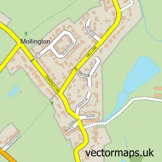
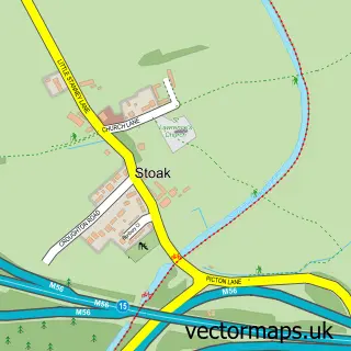
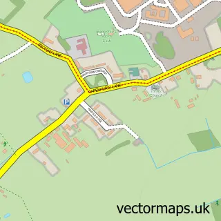
This Moston street map is a detailed vector street map covering a 750m x 750m area. Select a larger area to create and download your own vector street map of Moston.
The 750-metre map sample for Moston covers 120 mapped buildings and approximately 9.2 km of road detail, of which 18 named roads are named. The immediate area includes 2 GP surgeries within 2 miles and 5 MOT stations within 2 miles. The wider area around Moston features 1 tourism point of interest. To create a larger or custom map of Moston, the map builder lets you define your own coverage area and download editable SVG, PDF and PNG files.
Create a larger editable map of Moston
Choose any area you need and generate a high-quality vector map instantly. Perfect for print, planning, design, business and personal use.

This Moston street map in Cheshire is available as downloadable SVG, PDF and PNG map files, or as a printed map for planning, business, display, education, local information and design work. You can also create a larger custom map area using the map selector.
What this Moston map sample shows
Moston lies within Mollington Cp parish, part of Saughall & Mollington ward in the Cheshire West And Chester (B) local authority area. The postcode geography for this area includes the CH postcode area, the CH1 postcode district and the CH1 6 postcode sector. Residents fall under the Nhs Cheshire And Merseyside Integrated Care Board for NHS services.
Local features near Moston
Within 2 milesAmenities and services in and around Moston.
Administrative and postcode information for Moston
The local authority covering Moston is Cheshire West And Chester (B), within the county of Cheshire. The settlement lies within Saughall & Mollington ward and Mollington Cp civil parish. The CH1 postcode district and CH1 6 postcode sector serve the immediate area. NHS provision in the area is delivered through Countess Of Chester Hospital Nhs Foundation Trust.
Nearby street map samples around Moston
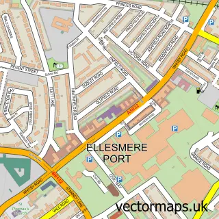

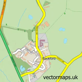
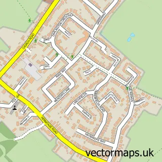
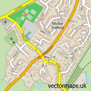
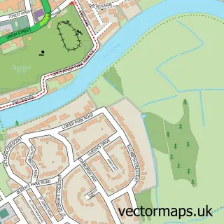
More street maps in Cheshire
750 metre map area coverage
Boundary, postcode and point of interest information for the 750m x 750m rectangle centred on this sample map.
Boundaries containing map centre
Constituency: Chester North and Neston Co Const
District: Cheshire West and Chester (B)
Icb: NHS Cheshire and Merseyside ICB
Parish: Moston CP
Police Force: cheshire
Postcode District: CH2
Postcode Sector: CH2 4
Ward: Upton Ward
Nearby boundaries intersecting sample
Parish: Upton-by-Chester CP
Postcode Sector: CH2 1
Postcode coverage
POI category counts
Community Services Non Profits: 3
Armed Forces Branch: 1
Beauty Salon: 1
Boat Rental And Training: 1
Business Management Services: 1
Convenience Store: 1
Courier And Delivery Services: 1
Doctor: 1
Gas Station: 1
Park: 1
Sample points of interest
- Fox Barracks
- Olivia Alice Beauty
- Marine Cruises
- Marine Cruises
- SSAFA Cheshire
- SSAFA Cheshire
- SSAFA Chester, Ellesmere Port & Neston Division
- EG - OTM - Chester
- Evri ParcelShop
- Dale Barracks medical Facility
- Moston Service Station
- Chester Greyhound Park
Create a larger editable map of Moston
This sample shows only a 750 metre area. To create a larger map of Moston, use our map builder to choose your own coverage area, add titles and download editable SVG, PDF and PNG files.
Create a custom map of Moston