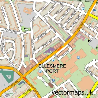
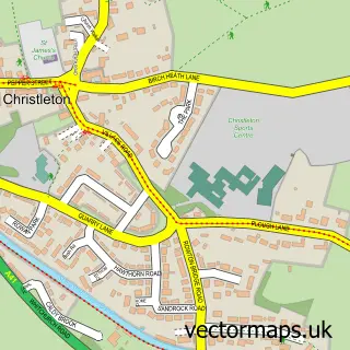
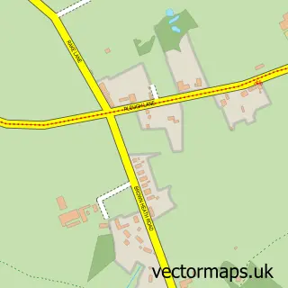
This Queens Park street map is a detailed vector street map covering a 750m x 750m area. Select a larger area to create and download your own vector street map of Queens Park.
The 750-metre map sample for Queens Park covers 222 mapped buildings and approximately 9.8 km of road detail, of which 23 named roads are named. The immediate area includes 1 school, 13 GP surgeries within 2 miles, 1 pub and 25 MOT stations within 2 miles. The wider area around Queens Park features 6 tourism points of interest, 5 food and drink venues and 3 hotels. To create a larger or custom map of Queens Park, the map builder lets you define your own coverage area and download editable SVG, PDF and PNG files.
Create a larger editable map of Queens Park
Choose any area you need and generate a high-quality vector map instantly. Perfect for print, planning, design, business and personal use.

This Queens Park street map in Cheshire is available as downloadable SVG, PDF and PNG map files, or as a printed map for planning, business, display, education, local information and design work. You can also create a larger custom map area using the map selector.
What this Queens Park map sample shows
Queens Park lies within Cheshire West And Chester (B) parish, part of Chester City & The Garden Quarter ward in the Cheshire West And Chester (B) local authority area. The postcode geography for this area includes the CH postcode area, the CH3 postcode district and the CH3 5 postcode sector. Residents fall under the Nhs Cheshire And Merseyside Integrated Care Board for NHS services.
Local features near Queens Park
Within 2 milesAmenities and services in and around Queens Park.
Administrative and postcode information for Queens Park
The local authority covering Queens Park is Cheshire West And Chester (B), within the county of Cheshire. The settlement lies within Chester City & The Garden Quarter ward and Cheshire West And Chester (B) civil parish. The CH3 postcode district and CH3 5 postcode sector serve the immediate area. NHS provision in the area is delivered through Countess Of Chester Hospital Nhs Foundation Trust.
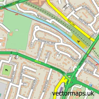
Nearby street map samples around Queens Park

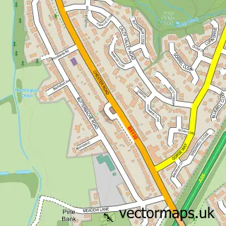
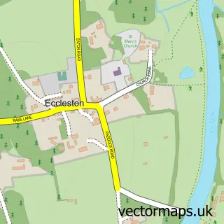
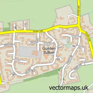
More street maps in Cheshire
750 metre map area coverage
Boundary, postcode and point of interest information for the 750m x 750m rectangle centred on this sample map.
Boundaries containing map centre
Constituency: Chester South and Eddisbury Co Const
District: Cheshire West and Chester (B)
Icb: NHS Cheshire and Merseyside ICB
Police Force: cheshire
Postcode District: CH4
Postcode Sector: CH4 7
Ward: Handbridge Park Ward
Nearby boundaries intersecting sample
Constituency: Chester North and Neston Co Const
Postcode District: CH1, CH3
Postcode Sector: CH1 1, CH3 5
Ward: Chester City & the Garden Quarter Ward
Postcode coverage
POI category counts
Professional Services: 6
Sports Club And League: 5
Landmark And Historical Building: 4
Advertising Agency: 3
Bed And Breakfast: 3
Hotel: 3
Alternative Medicine: 2
Bridge: 2
Business: 2
Cafe: 2
Sample points of interest
- Riverside Market
- Scwirrel M a S
- Taste Cheshire
- North North West Homeopathy
- North North West Homeopathy
- Abbeyfield House
- Asda (C) Handbridge - Queens Park Road PFS, Handbridge
- Grosvenor Park Miniature Railway
- Grove Villa
- Sycamore House Bed and Breakfast
- Tentry Heys
- Chester Boat
Create a larger editable map of Queens Park
This sample shows only a 750 metre area. To create a larger map of Queens Park, use our map builder to choose your own coverage area, add titles and download editable SVG, PDF and PNG files.
Create a custom map of Queens Park