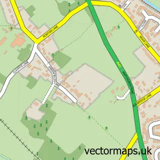
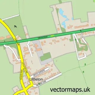
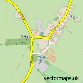
This Brown Heath street map is a detailed vector street map covering a 750m x 750m area. Select a larger area to create and download your own vector street map of Brown Heath.
The 750-metre map sample for Brown Heath covers 63 mapped buildings and approximately 5.3 km of road detail, of which 3 named roads are named. The immediate area includes 1 pub and 2 MOT stations within 2 miles. The wider area around Brown Heath features 1 food and drink venue and 1 campsite within 2 miles. To create a larger or custom map of Brown Heath, the map builder lets you define your own coverage area and download editable SVG, PDF and PNG files.
Create a larger editable map of Brown Heath
Choose any area you need and generate a high-quality vector map instantly. Perfect for print, planning, design, business and personal use.

This Brown Heath street map in Cheshire is available as downloadable SVG, PDF and PNG map files, or as a printed map for planning, business, display, education, local information and design work. You can also create a larger custom map area using the map selector.
What this Brown Heath map sample shows
Brown Heath lies within Christleton Cp parish, part of Christleton & Huntington ward in the Cheshire West And Chester (B) local authority area. The postcode geography for this area includes the CH postcode area, the CH3 postcode district and the CH3 7 postcode sector. Residents fall under the Nhs Cheshire And Merseyside Integrated Care Board for NHS services.
Local features near Brown Heath
Within 2 milesAmenities and services in and around Brown Heath.
Administrative and postcode information for Brown Heath
Brown Heath lies within Christleton Cp parish, part of Christleton & Huntington ward in the Cheshire West And Chester (B) local authority area. The postcode geography for this area includes the CH postcode area, the CH3 postcode district and the CH3 7 postcode sector. Residents fall under the Nhs Cheshire And Merseyside Integrated Care Board for NHS services.
Nearby street map samples around Brown Heath
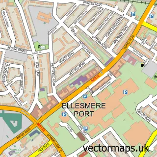

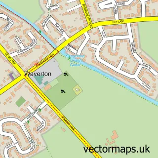
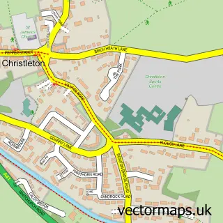
More street maps in Cheshire
750 metre map area coverage
Boundary, postcode and point of interest information for the 750m x 750m rectangle centred on this sample map.
Boundaries containing map centre
Constituency: Chester South and Eddisbury Co Const
District: Cheshire West and Chester (B)
Icb: NHS Cheshire and Merseyside ICB
Parish: Christleton CP
Police Force: cheshire
Postcode District: CH3
Postcode Sector: CH3 7
Ward: Christleton & Huntington Ward
Nearby boundaries intersecting sample
Parish: Rowton CP, Waverton CP
Postcode Sector: CH3 6
Postcode coverage
POI category counts
Dog Trainer: 1
Event Planning: 1
Landscape Architect: 1
Pet Services: 1
Pub: 1
Transportation: 1
Wedding Chapel: 1
Sample points of interest
- Dog Training With Rachael
- Cheshire View
- Carrs Landscapes
- Brown Heath Livery / Grazing Yard
- The Plough Inn
- Mustang Equine Transport-Horsebox Hire
- Cheshire View
Create a larger editable map of Brown Heath
This sample shows only a 750 metre area. To create a larger map of Brown Heath, use our map builder to choose your own coverage area, add titles and download editable SVG, PDF and PNG files.
Create a custom map of Brown Heath