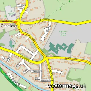
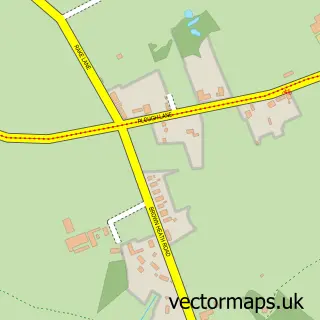
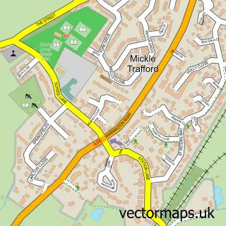
This Littleton street map is a detailed vector street map covering a 750m x 750m area. Select a larger area to create and download your own vector street map of Littleton.
The 750-metre map sample for Littleton covers 153 mapped buildings and approximately 6.4 km of road detail, of which 9 named roads are named. The immediate area includes 3 GP surgeries within 2 miles and 10 MOT stations within 2 miles. The wider area around Littleton features 2 food and drink venues, 1 hotel and 1 campsite within 2 miles. To create a larger or custom map of Littleton, the map builder lets you define your own coverage area and download editable SVG, PDF and PNG files.
Create a larger editable map of Littleton
Choose any area you need and generate a high-quality vector map instantly. Perfect for print, planning, design, business and personal use.

This Littleton street map in Cheshire is available as downloadable SVG, PDF and PNG map files, or as a printed map for planning, business, display, education, local information and design work. You can also create a larger custom map area using the map selector.
What this Littleton map sample shows
Littleton lies within Christleton Cp parish, part of Christleton & Huntington ward in the Cheshire West And Chester (B) local authority area. The postcode geography for this area includes the CH postcode area, the CH3 postcode district and the CH3 7 postcode sector. Residents fall under the Nhs Cheshire And Merseyside Integrated Care Board for NHS services.
Local features near Littleton
Within 2 milesAmenities and services in and around Littleton.
Administrative and postcode information for Littleton
Littleton lies within Christleton Cp parish, part of Christleton & Huntington ward in the Cheshire West And Chester (B) local authority area. The postcode geography for this area includes the CH postcode area, the CH3 postcode district and the CH3 7 postcode sector. Residents fall under the Nhs Cheshire And Merseyside Integrated Care Board for NHS services.
Nearby street map samples around Littleton

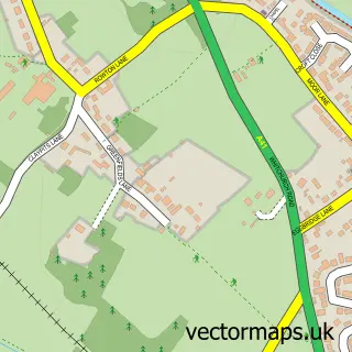
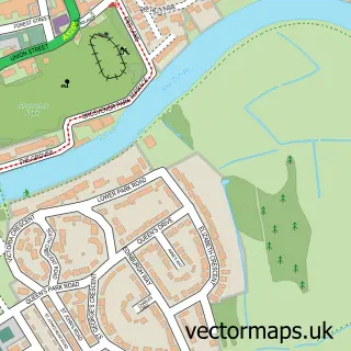
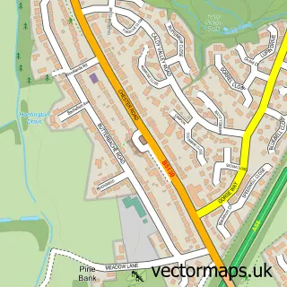
More street maps in Cheshire
750 metre map area coverage
Boundary, postcode and point of interest information for the 750m x 750m rectangle centred on this sample map.
Boundaries containing map centre
Constituency: Chester South and Eddisbury Co Const
District: Cheshire West and Chester (B)
Icb: NHS Cheshire and Merseyside ICB
Parish: Littleton CP
Police Force: cheshire
Postcode District: CH3
Postcode Sector: CH3 7
Ward: Christleton & Huntington Ward
Nearby boundaries intersecting sample
Constituency: Runcorn and Helsby Co Const
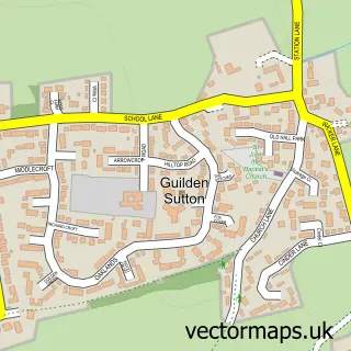
Parish: Christleton CP, Guilden Sutton CP
Ward: Gowy Rural Ward
Postcode coverage
POI category counts
Accountant: 1
Assisted Living Facility: 1
Cafe: 1
Financial Service: 1
Gym: 1
Home Service: 1
Hotel: 1
Hvac Services: 1
Pet Store: 1
Restaurant: 1
Sample points of interest
- Penny Lane Accountants
- Tarvin Court
- Chic and Coffeine
- Penny Lane Accountants
- Vortex Performance Academy
- Kids Planet Chester
- Thornleigh
- Beaver Heating & Plumbing
- Barnhouse Veterinary Surgery
- The Fishpool Inn Delemare
- Oaklands Nursing Home
- Barnhouse Veterinary Surgery
Create a larger editable map of Littleton
This sample shows only a 750 metre area. To create a larger map of Littleton, use our map builder to choose your own coverage area, add titles and download editable SVG, PDF and PNG files.
Create a custom map of Littleton