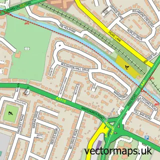
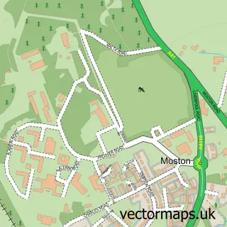
This Mickle Trafford street map is a detailed vector street map covering a 750m x 750m area. Select a larger area to create and download your own vector street map of Mickle Trafford.
The 750-metre map sample for Mickle Trafford covers 471 mapped buildings and approximately 15.5 km of road detail, of which 33 named roads are named. The immediate area includes 1 school and 1 MOT station within 2 miles. The wider area around Mickle Trafford features 1 tourism point of interest. To create a larger or custom map of Mickle Trafford, the map builder lets you define your own coverage area and download editable SVG, PDF and PNG files.
Create a larger editable map of Mickle Trafford
Choose any area you need and generate a high-quality vector map instantly. Perfect for print, planning, design, business and personal use.

This Mickle Trafford street map in Cheshire is available as downloadable SVG, PDF and PNG map files, or as a printed map for planning, business, display, education, local information and design work. You can also create a larger custom map area using the map selector.
What this Mickle Trafford map sample shows
Mickle Trafford lies within Mickle Trafford And District Cp parish, part of Gowy Rural ward in the Cheshire West And Chester (B) local authority area. The postcode geography for this area includes the CH postcode area, the CH2 postcode district and the CH2 4 postcode sector. Residents fall under the Nhs Cheshire And Merseyside Integrated Care Board for NHS services.
Local features near Mickle Trafford
Within 2 milesAmenities and services in and around Mickle Trafford.
Administrative and postcode information for Mickle Trafford
Mickle Trafford lies within Mickle Trafford And District Cp parish, part of Gowy Rural ward in the Cheshire West And Chester (B) local authority area. The postcode geography for this area includes the CH postcode area, the CH2 postcode district and the CH2 4 postcode sector. Residents fall under the Nhs Cheshire And Merseyside Integrated Care Board for NHS services.
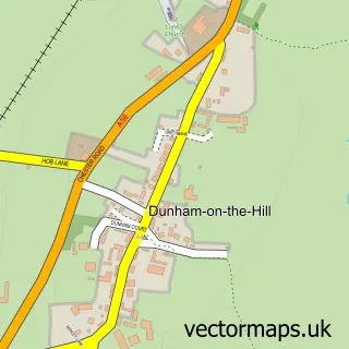
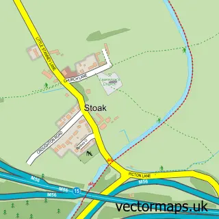
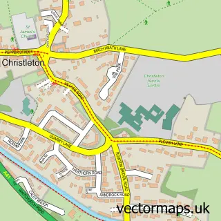
Nearby street map samples around Mickle Trafford

More street maps in Cheshire
750 metre map area coverage
Boundary, postcode and point of interest information for the 750m x 750m rectangle centred on this sample map.
Boundaries containing map centre
Constituency: Runcorn and Helsby Co Const
District: Cheshire West and Chester (B)
Icb: NHS Cheshire and Merseyside ICB
Parish: Mickle Trafford and District CP
Police Force: cheshire
Postcode District: CH2
Postcode Sector: CH2 4
Ward: Gowy Rural Ward
Nearby boundaries intersecting sample
No additional intersecting boundaries found.
Postcode coverage
POI category counts
Police Department: 2
Roofing: 2
Tennis Court: 2
Antique Store: 1
Architectural Designer: 1
Auto Detailing: 1
Bar: 1
Beauty Salon: 1
Bed And Breakfast: 1
Building Supply Store: 1
Sample points of interest
- Antique Pine Imports
- Architecture Works Ltd
- Revolve Detailing
- Toby Carvery Hoole Village
- KL Laser Clinic
- Mickle Trafford Manor
- Cheshire Environmental Associates
- Mickle Trafford Mill Charitable Trust
- Mickle Trafford Convenience Store and Post Office
- JS Driving Solutions
- PH Blinds and Curtains Ltd
- A French And Son Ltd.
Create a larger editable map of Mickle Trafford
This sample shows only a 750 metre area. To create a larger map of Mickle Trafford, use our map builder to choose your own coverage area, add titles and download editable SVG, PDF and PNG files.
Create a custom map of Mickle Trafford